410 Wildcat Mountain Rd Waynesville, NC 28786
Estimated Value: $432,286 - $571,000
2
Beds
3
Baths
1,410
Sq Ft
$371/Sq Ft
Est. Value
About This Home
This home is located at 410 Wildcat Mountain Rd, Waynesville, NC 28786 and is currently estimated at $522,572, approximately $370 per square foot. 410 Wildcat Mountain Rd is a home located in Haywood County with nearby schools including Hazelwood Elementary, Waynesville Middle, and Tuscola High.
Ownership History
Date
Name
Owned For
Owner Type
Purchase Details
Closed on
Apr 4, 2025
Sold by
Humphrey John T and Humphrey Kathleen L
Bought by
John And Kathleen Humphrey Family Trust and Humphrey
Current Estimated Value
Purchase Details
Closed on
Nov 16, 2012
Sold by
Mckenney John S
Bought by
Humphrey John T and Humphrey Kathleen L
Create a Home Valuation Report for This Property
The Home Valuation Report is an in-depth analysis detailing your home's value as well as a comparison with similar homes in the area
Home Values in the Area
Average Home Value in this Area
Purchase History
| Date | Buyer | Sale Price | Title Company |
|---|---|---|---|
| John And Kathleen Humphrey Family Trust | -- | None Listed On Document | |
| John And Kathleen Humphrey Family Trust | -- | None Listed On Document | |
| Humphrey John T | -- | None Available |
Source: Public Records
Tax History Compared to Growth
Tax History
| Year | Tax Paid | Tax Assessment Tax Assessment Total Assessment is a certain percentage of the fair market value that is determined by local assessors to be the total taxable value of land and additions on the property. | Land | Improvement |
|---|---|---|---|---|
| 2025 | -- | $289,700 | $42,100 | $247,600 |
| 2024 | $2,419 | $289,700 | $42,100 | $247,600 |
| 2023 | $2,419 | $289,700 | $42,100 | $247,600 |
| 2022 | $2,317 | $289,700 | $42,100 | $247,600 |
| 2021 | $2,317 | $289,700 | $42,100 | $247,600 |
| 2020 | $1,936 | $223,500 | $33,700 | $189,800 |
| 2019 | $1,941 | $223,500 | $33,700 | $189,800 |
| 2018 | $1,941 | $223,500 | $33,700 | $189,800 |
| 2017 | $1,941 | $223,500 | $0 | $0 |
| 2016 | $1,857 | $218,200 | $0 | $0 |
| 2015 | $1,857 | $218,200 | $0 | $0 |
| 2014 | $1,731 | $218,200 | $0 | $0 |
Source: Public Records
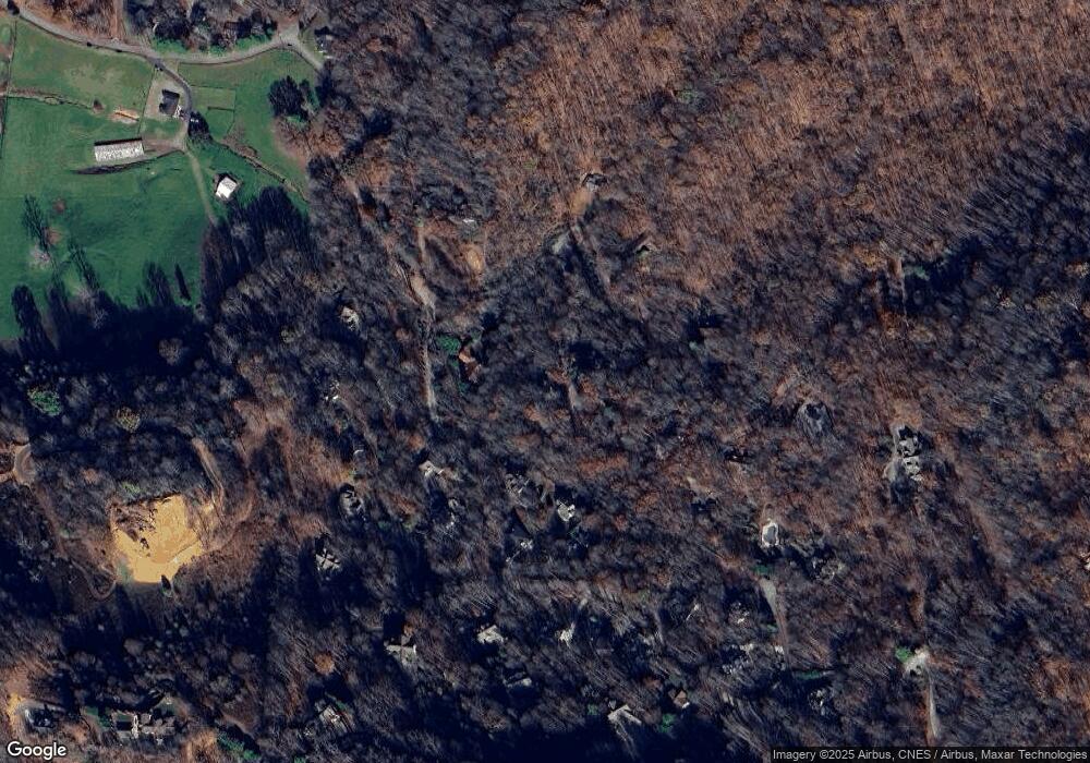
Map
Nearby Homes
- 36 Marigold Ct
- 78 Aster Ln
- 00 Sanctuary Dr Unit 13
- 00000000 Fernbrook Dr
- 42 Cliff Ln Unit 15
- 85 Fern Brook Dr
- 7 Cliff Ln Unit 17
- 105 Blackberry Ridge
- 9999 Honeysuckle Dr Unit 10
- 00 Grouse Ridge Rd Unit 2
- 00 Grouse Ridge Rd Unit 1
- 445 Equestrian Dr
- Lot 18 & 19 Magnolia Way Unit 18 & 19
- 362 Equestrian Dr Unit 18
- 00 Weatherwatch Ln Unit 48
- 00 Greenview Dr Unit 12
- 00 Greenview Dr Unit 9
- 00 Greenview Dr Unit 4
- 00 Greenview Dr Unit 6
- 00 Greenview Dr Unit 5
- 366 Wildcat Mountain Rd
- 436 Wildcat Mountain Rd
- 45 Sanctuary Dr
- 431 Wildcat Mountain Rd
- 254 Wildcat Mountain Rd
- 55 Chloe Ln
- 11 Aster Ln
- 88 Aster Ln
- 34 Aster Ln
- 10 Aster Ln
- 0 Wildcat Mountain Rd
- 154 Sanctuary Dr
- 18 Quail Ridge
- 473 Wildcat Mountain Rd
- Lot 2 Wildcat Mountain Rd
- Lot 1 Wildcat Mountain Rd
- 0 Sanctuary Dr Unit 14
- 0 Sanctuary Dr Unit 13 3608520
- 0 Sanctuary Dr Unit 13 3462039
- 301 Wildcat Mountain Rd