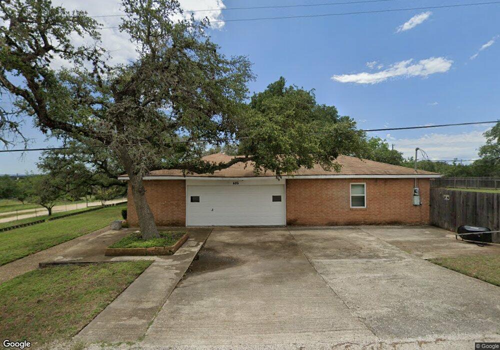
410 Winchester Rd Spring Branch, TX 78070
Estimated Value: $207,500 - $240,000
--
Bed
--
Bath
1,146
Sq Ft
$193/Sq Ft
Est. Value
About This Home
This home is located at 410 Winchester Rd, Spring Branch, TX 78070 and is currently estimated at $220,625, approximately $192 per square foot. 410 Winchester Rd is a home with nearby schools including Rebecca Creek Elementary School, Mt Valley Middle School, and Canyon Lake High School.
Ownership History
Date
Name
Owned For
Owner Type
Purchase Details
Closed on
Nov 8, 2019
Sold by
Recendiz Jose
Bought by
Recendiz Ana
Current Estimated Value
Purchase Details
Closed on
Aug 30, 2016
Sold by
Trejo Jesus and Trejo Rosa Angela
Bought by
Recendiz Ana and Recendiz Jose
Purchase Details
Closed on
Apr 26, 2008
Sold by
Shadow Mountain Ranches Inc
Bought by
Trejo Jesus J and Trejo Rosa Angela
Home Financials for this Owner
Home Financials are based on the most recent Mortgage that was taken out on this home.
Original Mortgage
$5,400
Interest Rate
5.89%
Mortgage Type
Seller Take Back
Create a Home Valuation Report for This Property
The Home Valuation Report is an in-depth analysis detailing your home's value as well as a comparison with similar homes in the area
Home Values in the Area
Average Home Value in this Area
Purchase History
| Date | Buyer | Sale Price | Title Company |
|---|---|---|---|
| Recendiz Ana | -- | None Available | |
| Recendiz Ana | -- | None Available | |
| Trejo Jesus J | -- | None Available |
Source: Public Records
Mortgage History
| Date | Status | Borrower | Loan Amount |
|---|---|---|---|
| Previous Owner | Trejo Jesus J | $5,400 |
Source: Public Records
Tax History Compared to Growth
Tax History
| Year | Tax Paid | Tax Assessment Tax Assessment Total Assessment is a certain percentage of the fair market value that is determined by local assessors to be the total taxable value of land and additions on the property. | Land | Improvement |
|---|---|---|---|---|
| 2025 | $1,165 | $209,221 | -- | -- |
| 2024 | $1,165 | $190,201 | -- | -- |
| 2023 | $1,165 | $172,910 | $0 | $0 |
| 2022 | $1,497 | $157,191 | -- | -- |
| 2021 | $2,546 | $142,901 | $11,320 | $131,581 |
| 2020 | $2,648 | $142,901 | $11,320 | $131,581 |
| 2019 | $1,797 | $94,680 | $5,090 | $89,590 |
| 2018 | $1,539 | $81,290 | $5,090 | $76,200 |
| 2017 | $1,507 | $80,240 | $5,090 | $75,150 |
| 2016 | $77 | $4,080 | $4,080 | $0 |
| 2015 | $77 | $4,080 | $4,080 | $0 |
| 2014 | $77 | $4,080 | $4,080 | $0 |
Source: Public Records
Map
Nearby Homes
- 1103 Martin Gale Trail
- 385 Will Rogers Dr
- 419 Thunderhead Dr
- 272 Weatherby Dr
- 1735 Lake Park Dr
- 231 N Rip Ford Rd
- 968 High Dr
- 833 High Dr
- 500 Line Camp Loop
- 926 High Dr
- 1021 Santa fe Trail
- 716 Line Camp Loop
- 216 Remington Rd
- 497 Remington Rd
- 112 Remington Rd
- 5043 Apache Moon
- 6016 Apache Moon
- 641 Turkey Canyon Dr
- 1197 Chisolm Trail
- 1343 Rimrock Dr
- 374 Winchester Rd
- 486 Tom Lea Dr
- 1378 Western Skies Dr
- 1339 Western Skies Dr
- 458 Indian Canyon
- 1171 Martingale Trail
- 396 Tom Lea Dr
- 0 Tom Lea Dr
- 437 Indian Canyon
- 1188 Hackamore Pass
- 522 Tom Lea Dr
- 0 Martin Gale Trail
- 0 Martin Gale Trail
- LOT 3 Martin Gale Trail
- LOT 2 Martin Gale Trail
- LOT 1 Martin Gale Trail
- 1434 Western Skies Dr
- 378 Tom Lea Dr
- 422 Indian Canyon
- 471 Weatherby Dr