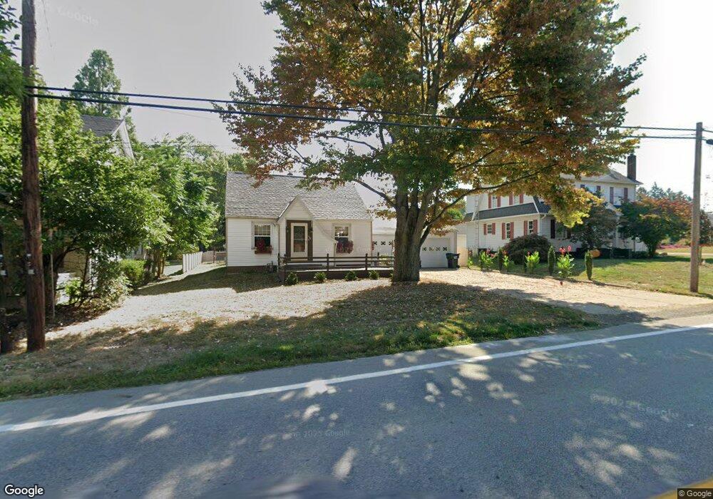
410 Wood St N East Canton, OH 44730
Estimated Value: $154,000 - $180,000
2
Beds
1
Bath
1,336
Sq Ft
$122/Sq Ft
Est. Value
About This Home
This home is located at 410 Wood St N, East Canton, OH 44730 and is currently estimated at $163,158, approximately $122 per square foot. 410 Wood St N is a home located in Stark County with nearby schools including East Canton Elementary School, East Canton Middle School, and East Canton High School.
Ownership History
Date
Name
Owned For
Owner Type
Purchase Details
Closed on
Jun 8, 2004
Sold by
Swallen Pamela Lynn and Swallen Richard
Bought by
Bole Kathleen M
Current Estimated Value
Home Financials for this Owner
Home Financials are based on the most recent Mortgage that was taken out on this home.
Original Mortgage
$73,600
Outstanding Balance
$37,083
Interest Rate
6.46%
Mortgage Type
New Conventional
Estimated Equity
$126,075
Purchase Details
Closed on
Oct 8, 1998
Sold by
Estate Of Wilson John Schweyer
Bought by
Schweyer Nadine L
Create a Home Valuation Report for This Property
The Home Valuation Report is an in-depth analysis detailing your home's value as well as a comparison with similar homes in the area
Home Values in the Area
Average Home Value in this Area
Purchase History
| Date | Buyer | Sale Price | Title Company |
|---|---|---|---|
| Bole Kathleen M | $92,000 | -- | |
| Schweyer Nadine L | -- | -- |
Source: Public Records
Mortgage History
| Date | Status | Borrower | Loan Amount |
|---|---|---|---|
| Open | Bole Kathleen M | $73,600 |
Source: Public Records
Tax History Compared to Growth
Tax History
| Year | Tax Paid | Tax Assessment Tax Assessment Total Assessment is a certain percentage of the fair market value that is determined by local assessors to be the total taxable value of land and additions on the property. | Land | Improvement |
|---|---|---|---|---|
| 2025 | -- | $41,510 | $9,100 | $32,410 |
| 2024 | -- | $41,510 | $9,100 | $32,410 |
| 2023 | $890 | $29,020 | $7,880 | $21,140 |
| 2022 | $879 | $29,370 | $7,880 | $21,490 |
| 2021 | $883 | $29,370 | $7,880 | $21,490 |
| 2020 | $841 | $26,570 | $7,040 | $19,530 |
| 2019 | $827 | $26,570 | $7,040 | $19,530 |
| 2018 | $821 | $26,570 | $7,040 | $19,530 |
| 2017 | $690 | $24,640 | $6,510 | $18,130 |
| 2016 | $694 | $24,640 | $6,510 | $18,130 |
| 2015 | $700 | $24,640 | $6,510 | $18,130 |
| 2014 | $771 | $24,710 | $5,460 | $19,250 |
| 2013 | $389 | $24,710 | $5,460 | $19,250 |
Source: Public Records
Map
Nearby Homes
- 137 Noble St W
- 223 Nassau St W
- 233 Nassau St W
- 225 - 227 Plum St N
- 711 Nassau St W
- 0 Lincoln St SE Unit 5157290
- 0 Lincoln St SE Unit 5157308
- 0 Lincoln St SE Unit 5157344
- 2260 Broadway Ave NE
- 1527 Johns Ave SE
- 2386 Broadway Ave NE
- 6416 15th St NE
- 2425 Miday Ave NE
- 6969 Georgetown St NE
- 4520 Georgetown Rd NE
- 1990 Belfort Ave
- 8225 Georgetown St
- 1702 View Pointe Ave
- 1639 Horizon Dr
- 2802 Trump Ave SE