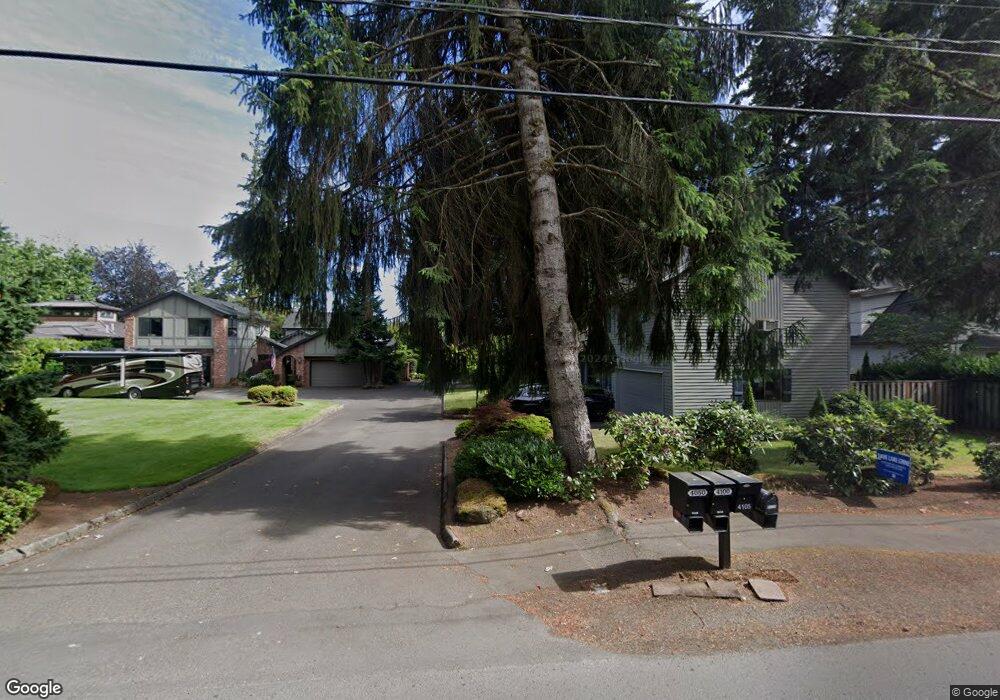
4100 Upper Dr Lake Oswego, OR 97035
Lake Grove NeighborhoodEstimated Value: $1,347,000 - $1,506,000
3
Beds
2
Baths
3,112
Sq Ft
$459/Sq Ft
Est. Value
About This Home
This home is located at 4100 Upper Dr, Lake Oswego, OR 97035 and is currently estimated at $1,427,867, approximately $458 per square foot. 4100 Upper Dr is a home located in Clackamas County with nearby schools including Lake Grove Elementary School, Lake Oswego Junior High School, and Lake Oswego Senior High School.
Ownership History
Date
Name
Owned For
Owner Type
Purchase Details
Closed on
Jun 28, 2022
Sold by
Skinner Living Trust
Bought by
Kathie M Skinner Survivors Trust
Current Estimated Value
Purchase Details
Closed on
Apr 11, 2017
Sold by
Skinner Robert F and Skinner Kathie M
Bought by
Skinner Robert F and Skinner Kathie M
Purchase Details
Closed on
Sep 22, 1995
Sold by
Botkin James Lawrence
Bought by
Skinner Robert F and Skinner Kathie M
Create a Home Valuation Report for This Property
The Home Valuation Report is an in-depth analysis detailing your home's value as well as a comparison with similar homes in the area
Home Values in the Area
Average Home Value in this Area
Purchase History
| Date | Buyer | Sale Price | Title Company |
|---|---|---|---|
| Kathie M Skinner Survivors Trust | -- | Pixton Law Group | |
| Skinner Robert F | -- | None Available | |
| Skinner Robert F | $301,000 | Oregon Title Insurance Co |
Source: Public Records
Tax History
| Year | Tax Paid | Tax Assessment Tax Assessment Total Assessment is a certain percentage of the fair market value that is determined by local assessors to be the total taxable value of land and additions on the property. | Land | Improvement |
|---|---|---|---|---|
| 2025 | $12,441 | $647,816 | -- | -- |
| 2024 | $12,109 | $628,948 | -- | -- |
| 2023 | $12,109 | $610,630 | $0 | $0 |
| 2022 | $11,405 | $592,845 | $0 | $0 |
| 2021 | $10,533 | $575,578 | $0 | $0 |
| 2020 | $10,269 | $558,814 | $0 | $0 |
| 2019 | $10,016 | $542,538 | $0 | $0 |
| 2018 | $9,525 | $526,736 | $0 | $0 |
| 2017 | $9,191 | $511,394 | $0 | $0 |
| 2016 | $8,367 | $496,499 | $0 | $0 |
Source: Public Records
Map
Nearby Homes
- 4480 Upper Dr
- 4368 Lakeview Blvd
- 3600 Lakeview Blvd
- 3884 Lake Grove Ave
- 3850 Lake Grove Ave
- 4470 Lakeview Blvd
- 4225 Oakridge Rd
- 4610 Lower Dr
- 4619 Lakeview Blvd
- 16510 Maple Cir
- 16200 Waluga Dr
- 16234 Waluga Dr
- 15628 Quarry Rd
- 16061 Waluga Dr
- 17282 Lake Haven Dr
- 4188 Cobb Way
- 4401 Cobb Way
- 15915 Waluga Dr
- 17332 Lake Haven Dr
- 17210 Cedar Rd
Your Personal Tour Guide
Ask me questions while you tour the home.