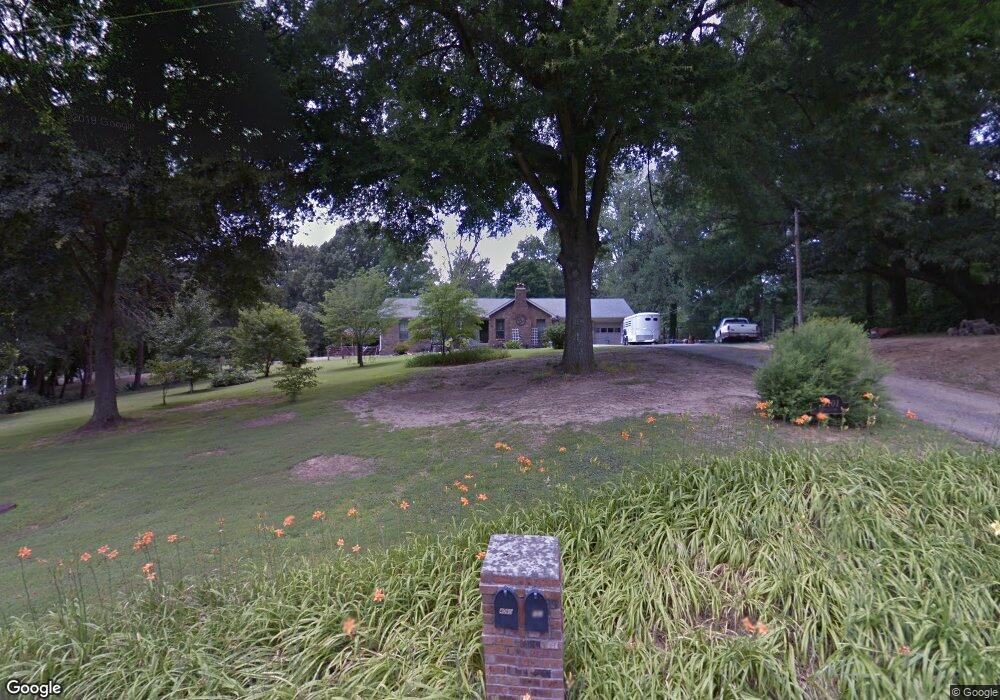
4101 Billion Rd Memphis, TN 38127
Estimated Value: $245,574 - $306,000
3
Beds
2
Baths
1,916
Sq Ft
$141/Sq Ft
Est. Value
About This Home
This home is located at 4101 Billion Rd, Memphis, TN 38127 and is currently estimated at $270,644, approximately $141 per square foot. 4101 Billion Rd is a home located in Shelby County with nearby schools including Northaven Elementary School, Woodstock Middle School, and Trezevant High School.
Ownership History
Date
Name
Owned For
Owner Type
Purchase Details
Closed on
Nov 30, 1999
Sold by
Warren Phillip G and Warren Janice G
Bought by
Bryant William G and Bryant Sharon Smith
Current Estimated Value
Home Financials for this Owner
Home Financials are based on the most recent Mortgage that was taken out on this home.
Original Mortgage
$114,000
Outstanding Balance
$36,038
Interest Rate
7.99%
Estimated Equity
$234,607
Create a Home Valuation Report for This Property
The Home Valuation Report is an in-depth analysis detailing your home's value as well as a comparison with similar homes in the area
Purchase History
| Date | Buyer | Sale Price | Title Company |
|---|---|---|---|
| Bryant William G | $157,500 | -- |
Source: Public Records
Mortgage History
| Date | Status | Borrower | Loan Amount |
|---|---|---|---|
| Open | Bryant William G | $114,000 |
Source: Public Records
Tax History
| Year | Tax Paid | Tax Assessment Tax Assessment Total Assessment is a certain percentage of the fair market value that is determined by local assessors to be the total taxable value of land and additions on the property. | Land | Improvement |
|---|---|---|---|---|
| 2025 | $1,431 | $45,775 | $16,625 | $29,150 |
| 2024 | $1,431 | $42,225 | $15,775 | $26,450 |
| 2023 | $1,431 | $42,225 | $15,775 | $26,450 |
| 2022 | $1,431 | $42,225 | $15,775 | $26,450 |
| 2021 | $1,457 | $42,225 | $15,775 | $26,450 |
| 2020 | $1,412 | $34,875 | $15,775 | $19,100 |
| 2019 | $1,412 | $34,875 | $15,775 | $19,100 |
| 2018 | $1,412 | $34,875 | $15,775 | $19,100 |
| 2017 | $1,433 | $34,875 | $15,775 | $19,100 |
| 2016 | $1,472 | $33,675 | $0 | $0 |
| 2014 | $1,472 | $33,675 | $0 | $0 |
Source: Public Records
Map
Nearby Homes
- 3594 Sunrise St
- 3643 Early St
- 3633 Early St
- 3594 Dumas St
- 854 Carrolton Ave
- 842 Restbrook Ave
- 835 Restbrook Ave
- 828 Floyd Ave
- 803 Par Ave
- 916 Carrolton Ave
- 823 Par Ave
- 892 Restbrook Ave
- 851 Floyd Ave
- 827 Par Ave
- 885 Restbrook Ave
- 908 Restbrook Ave
- 931 Carrolton Ave
- 1002 Creston Ave
- 891 Par Ave
- 918 Joel Ave
- 000 Billion
- 0 Billion Rd Unit 9984639
- 4119 Billion Rd
- 4060 Billion Rd
- 4043 Billion Rd
- 4050 Billion Rd
- 4174 Billion Rd
- 4024 Billion Rd
- 4023 Billion Rd
- 4045 Old Cuba Benjestown Rd
- 4175 Billion Rd
- 4025 Billion Rd
- 4205 Billion Rd
- 4211 Billion Rd
- 3999 Billion Rd
- 4116 Benjestown Rd
- 4179 Billion Rd
- 4215 Billion Rd
- 4219 Billion Rd
- 4220 Billion Rd
Your Personal Tour Guide
Ask me questions while you tour the home.