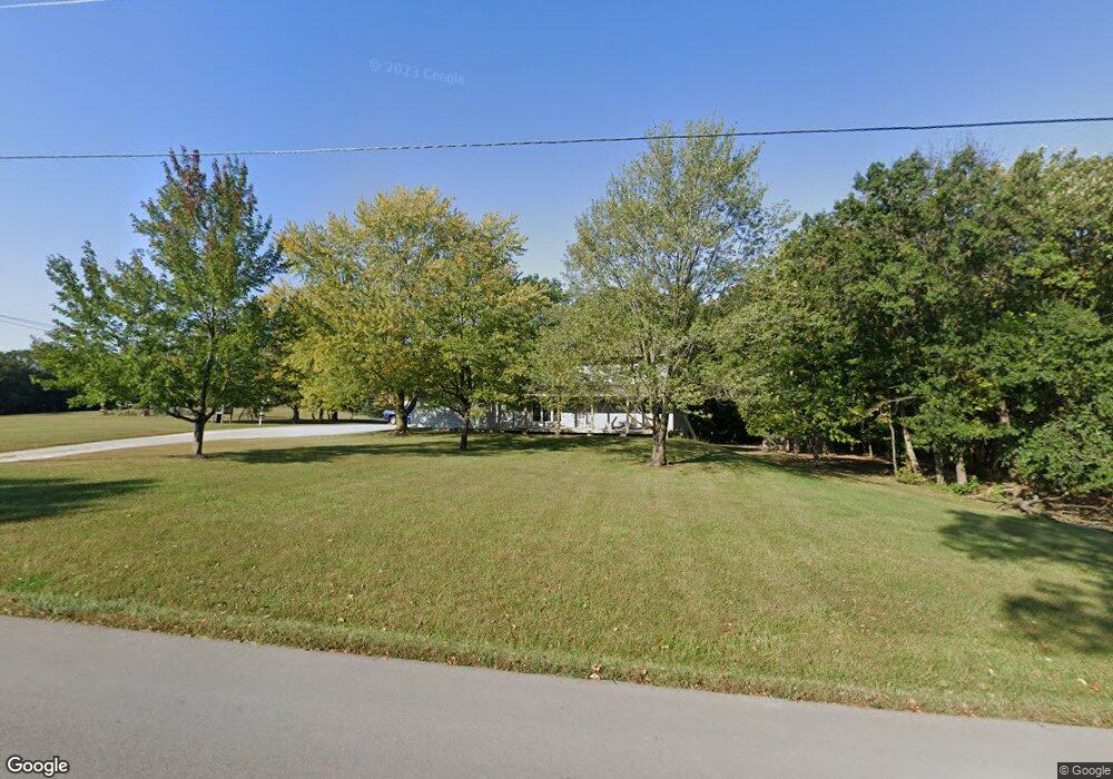
4101 N Wyatt Ln Columbia, MO 65202
Estimated Value: $242,000 - $410,565
4
Beds
3
Baths
2,220
Sq Ft
$146/Sq Ft
Est. Value
About This Home
This home is located at 4101 N Wyatt Ln, Columbia, MO 65202 and is currently estimated at $324,855, approximately $146 per square foot. 4101 N Wyatt Ln is a home located in Boone County with nearby schools including Alpha Hart Lewis Elementary School, John B. Lange Middle School, and Muriel W. Battle High School.
Ownership History
Date
Name
Owned For
Owner Type
Purchase Details
Closed on
Mar 14, 2007
Sold by
Melvin Billy J and Melvin Roxann
Bought by
Melvin Billy J and Melvin Roxanna
Current Estimated Value
Home Financials for this Owner
Home Financials are based on the most recent Mortgage that was taken out on this home.
Original Mortgage
$154,000
Interest Rate
6.32%
Mortgage Type
Future Advance Clause Open End Mortgage
Create a Home Valuation Report for This Property
The Home Valuation Report is an in-depth analysis detailing your home's value as well as a comparison with similar homes in the area
Home Values in the Area
Average Home Value in this Area
Purchase History
| Date | Buyer | Sale Price | Title Company |
|---|---|---|---|
| Melvin Billy J | -- | None Available |
Source: Public Records
Mortgage History
| Date | Status | Borrower | Loan Amount |
|---|---|---|---|
| Closed | Melvin Billy J | $154,000 |
Source: Public Records
Tax History Compared to Growth
Tax History
| Year | Tax Paid | Tax Assessment Tax Assessment Total Assessment is a certain percentage of the fair market value that is determined by local assessors to be the total taxable value of land and additions on the property. | Land | Improvement |
|---|---|---|---|---|
| 2025 | $2,174 | $33,064 | $2,892 | $30,172 |
| 2024 | $2,174 | $30,062 | $2,892 | $27,170 |
| 2023 | $2,155 | $30,062 | $2,892 | $27,170 |
| 2022 | $1,995 | $27,839 | $2,892 | $24,947 |
| 2021 | $1,998 | $27,839 | $2,892 | $24,947 |
| 2020 | $1,961 | $25,790 | $2,892 | $22,898 |
| 2019 | $1,961 | $25,790 | $2,892 | $22,898 |
| 2018 | $1,827 | $0 | $0 | $0 |
| 2017 | $1,807 | $23,887 | $2,892 | $20,995 |
| 2016 | $1,804 | $23,887 | $2,892 | $20,995 |
| 2015 | $1,666 | $23,887 | $2,892 | $20,995 |
| 2014 | -- | $23,887 | $2,892 | $20,995 |
Source: Public Records
Map
Nearby Homes
- 5407 Arrow Wood Dr
- 5303 Sapphire Ct
- 5504 Prairie Rose Ct
- LOT 284 Kestrel Lp
- 3409 Lost Tree Terrace
- LOT 235 Kestrel Ct
- LOT 282 Kestrel Lp
- LOT 212 Pheasant Rd
- LOT 211 Pheasant Rd
- LOT 274 Kestrel Lp
- 5729 Kestrel Lp
- LOT 208 Kestrel Lp
- 5725 Kestrel Lp
- LOT 277 Kestrel Lp
- LOT 265 Kestrel Lp
- LOT 234 Kestrel Ct
- LOT 225 Kestrel Lp
- LOT 249 Kestrel Lp
- LOT 239 Kestrel Ct
- LOT 230 Kestrel Lp
- 4100 N Wyatt Ln
- 5391 E Elder Dr
- 4001 N Wyatt Ln
- 5401 Mule Deer Dr
- 5403 Mule Deer Dr
- 12 Mule Deer Dr
- 13 Mule Deer Dr
- 8 Mule Deer Dr
- L 12 Mule Deer Dr
- 5401 Axis Ct
- 4202 N Wyatt Ln
- 5403 Axis Ct
- 5405 Mule Deer Dr
- N N Wyatt Ln
- 5407 Mule Deer Dr
- 5409 Mule Deer Dr
- 5404 Axis Ct
- 4207 Cotton Wood Dr
- 4209 Cotton Wood Dr
- L 23 Cottonwood Dr