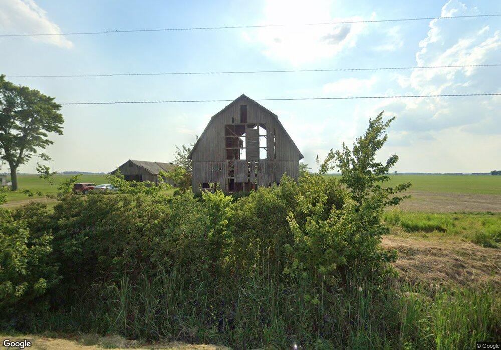
4101 Range Line Rd Custar, OH 43511
Estimated Value: $82,000 - $154,000
3
Beds
1
Bath
1,292
Sq Ft
$92/Sq Ft
Est. Value
About This Home
This home is located at 4101 Range Line Rd, Custar, OH 43511 and is currently estimated at $118,593, approximately $91 per square foot. 4101 Range Line Rd is a home located in Wood County with nearby schools including McComb Elementary School, McComb Middle School, and Mccomb Local High School.
Ownership History
Date
Name
Owned For
Owner Type
Purchase Details
Closed on
Apr 6, 2009
Sold by
Homesales Inc
Bought by
Parinello John J
Current Estimated Value
Purchase Details
Closed on
Dec 12, 2008
Sold by
Swain Dale E
Bought by
Homesales Inc and Homesales Inc Of Delaware
Purchase Details
Closed on
Dec 21, 1994
Sold by
Peckinpaugh Evan Jay
Bought by
Swain Dale E
Home Financials for this Owner
Home Financials are based on the most recent Mortgage that was taken out on this home.
Original Mortgage
$26,500
Interest Rate
9.19%
Mortgage Type
New Conventional
Purchase Details
Closed on
Sep 27, 1993
Bought by
Peckinpaugh Evan J
Create a Home Valuation Report for This Property
The Home Valuation Report is an in-depth analysis detailing your home's value as well as a comparison with similar homes in the area
Purchase History
| Date | Buyer | Sale Price | Title Company |
|---|---|---|---|
| Parinello John J | $25,000 | Attorney | |
| Homesales Inc | $35,000 | None Available | |
| Swain Dale E | $33,500 | -- | |
| Peckinpaugh Evan J | $25,000 | -- |
Source: Public Records
Mortgage History
| Date | Status | Borrower | Loan Amount |
|---|---|---|---|
| Previous Owner | Swain Dale E | $26,500 |
Source: Public Records
Tax History
| Year | Tax Paid | Tax Assessment Tax Assessment Total Assessment is a certain percentage of the fair market value that is determined by local assessors to be the total taxable value of land and additions on the property. | Land | Improvement |
|---|---|---|---|---|
| 2025 | $854 | $25,865 | $8,365 | $17,500 |
| 2024 | $852 | $25,865 | $8,365 | $17,500 |
| 2023 | $852 | $25,870 | $8,370 | $17,500 |
| 2021 | $830 | $21,040 | $6,690 | $14,350 |
| 2020 | $837 | $21,040 | $6,690 | $14,350 |
| 2019 | $792 | $19,750 | $6,690 | $13,060 |
| 2018 | $769 | $19,750 | $6,690 | $13,060 |
| 2017 | $667 | $19,750 | $6,690 | $13,060 |
| 2016 | $544 | $15,090 | $4,760 | $10,330 |
| 2015 | $544 | $15,090 | $4,760 | $10,330 |
| 2014 | $568 | $15,090 | $4,760 | $10,330 |
| 2013 | $570 | $13,720 | $4,340 | $9,380 |
Source: Public Records
Map
Nearby Homes
- 2970 Otsego Pike
- 0 Hockenberry Rd Unit 10
- 0 Deshler Rd Unit 309-2100
- 0 Oil Center Rd
- 24642 Hammansburg Rd Unit 309-0700
- 508 W Walnut St
- 122 W Broadway St
- 114 N Beecher St
- 1128 County Road 139
- 306 S Tarr St
- 106 N Taylor St
- Lot 112 Foley Run
- 4134 County Road 203
- 12078 Eagleville Rd
- 930 E Broadway St Unit LOT 73
- 930 E Broadway St Unit Lot 43
- 930 E Broadway St Unit 170
- 22759 Defiance Pike
- 0 S Dixie Hwy
- 3470 Ohio 235
Your Personal Tour Guide
Ask me questions while you tour the home.