4101 S Jardot Rd Stillwater, OK 74074
Estimated Value: $226,000 - $275,000
3
Beds
2
Baths
1,428
Sq Ft
$177/Sq Ft
Est. Value
About This Home
This home is located at 4101 S Jardot Rd, Stillwater, OK 74074 and is currently estimated at $252,104, approximately $176 per square foot. 4101 S Jardot Rd is a home located in Payne County with nearby schools including Highland Park Elementary School, Stillwater Middle School, and Stillwater Junior High School.
Ownership History
Date
Name
Owned For
Owner Type
Purchase Details
Closed on
Oct 10, 2024
Sold by
Lafave Ronald J and Lafave Cheryl A
Bought by
Ronald J And Cheryl A Lafave Trust and Lafave
Current Estimated Value
Purchase Details
Closed on
Jul 22, 2021
Sold by
Brock Kirby L
Bought by
Sun Gas Transmission Co Inc
Purchase Details
Closed on
Jan 29, 2021
Sold by
Brock Kirby Leigh
Bought by
Ar Development Llc
Create a Home Valuation Report for This Property
The Home Valuation Report is an in-depth analysis detailing your home's value as well as a comparison with similar homes in the area
Home Values in the Area
Average Home Value in this Area
Purchase History
| Date | Buyer | Sale Price | Title Company |
|---|---|---|---|
| Ronald J And Cheryl A Lafave Trust | -- | None Listed On Document | |
| Sun Gas Transmission Co Inc | $473,533 | Mahaffey & Gore Pc | |
| Ar Development Llc | $400,000 | None Listed On Document |
Source: Public Records
Tax History Compared to Growth
Tax History
| Year | Tax Paid | Tax Assessment Tax Assessment Total Assessment is a certain percentage of the fair market value that is determined by local assessors to be the total taxable value of land and additions on the property. | Land | Improvement |
|---|---|---|---|---|
| 2024 | $1,554 | $16,603 | $4,515 | $12,088 |
| 2023 | $1,554 | $16,120 | $3,680 | $12,440 |
| 2022 | $1,383 | $14,846 | $3,220 | $11,626 |
| 2021 | $1,326 | $14,413 | $3,397 | $11,016 |
| 2020 | $1,265 | $13,994 | $3,458 | $10,536 |
| 2019 | $1,241 | $13,587 | $3,358 | $10,229 |
| 2018 | $1,170 | $12,885 | $2,674 | $10,211 |
| 2017 | $1,131 | $12,510 | $2,323 | $10,187 |
| 2016 | $1,113 | $12,145 | $2,132 | $10,013 |
| 2015 | $1,084 | $11,792 | $1,947 | $9,845 |
| 2014 | $1,053 | $11,448 | $1,767 | $9,681 |
Source: Public Records
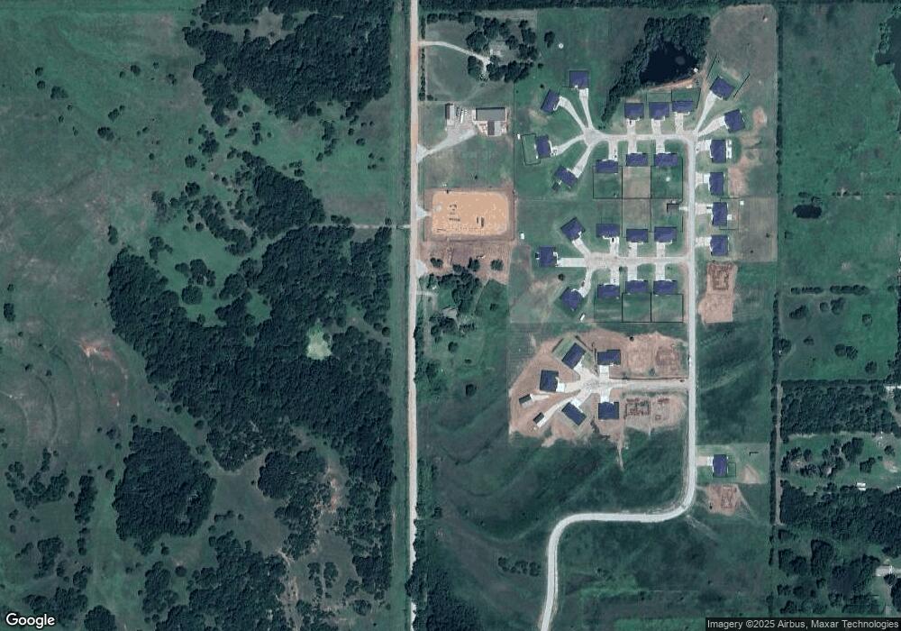
Map
Nearby Homes
- 2213 E Cover Ln
- Yellowstone Plan at Wagon Trail
- Williamette Plan at Wagon Trail
- White River Plan at Wagon Trail
- Wallowa Plan at Wagon Trail
- Umatilla Plan at Wagon Trail
- Talladega Plan at Wagon Trail
- Sierra Plan at Wagon Trail
- Rio Grande Plan at Wagon Trail
- Prescott Plan at Wagon Trail
- Klamath Plan at Wagon Trail
- Nez Perce Plan at Wagon Trail
- Ouachita Plan at Wagon Trail
- Medicine Bow Plan at Wagon Trail
- Lincoln Plan at Wagon Trail
- Malheur Plan at Wagon Trail
- Hiawatha Plan at Wagon Trail
- Gallatin Plan at Wagon Trail
- Fremont Plan at Wagon Trail
- Deschutes Plan at Wagon Trail
- 2105 E Iron Tire Dr
- 2203 E Iron Tire Dr
- 2116 E Iron Tire Dr
- 3909 S Jardot Rd
- 2206 Iron Tire Dr
- 2206 E Iron Tire Dr
- 2214 E Iron Tire Dr
- 2219 E Iron Tire Dr
- 2118 E Grassland Ln
- 3815 S Jardot Rd
- 2236 E Grassland Ln
- 3922 S Henderson St
- 4006 S Henderson St
- 4024 S Henderson St
- 2400 E 44th St
- 2400 E 44th St
- 3820 S Henderson St
- 4005 S Henderson St
- 4202 S Henderson St
- 3913 S Henderson St