4101 Tyer Rd Grain Valley, MO 64029
Estimated Value: $534,000 - $588,000
3
Beds
4
Baths
2,025
Sq Ft
$276/Sq Ft
Est. Value
About This Home
This home is located at 4101 Tyer Rd, Grain Valley, MO 64029 and is currently estimated at $558,589, approximately $275 per square foot. 4101 Tyer Rd is a home located in Jackson County with nearby schools including Grain Valley High School.
Ownership History
Date
Name
Owned For
Owner Type
Purchase Details
Closed on
Dec 15, 2008
Sold by
Schlichting Timothy P
Bought by
Smith Mark D and Smith Kathryn L
Current Estimated Value
Home Financials for this Owner
Home Financials are based on the most recent Mortgage that was taken out on this home.
Original Mortgage
$230,000
Outstanding Balance
$153,931
Interest Rate
6.48%
Mortgage Type
Purchase Money Mortgage
Estimated Equity
$404,658
Purchase Details
Closed on
Dec 15, 1999
Sold by
Ron Myrick Design Builders Inc
Bought by
Schlichting Timothy P and Schlichting Tamara K
Home Financials for this Owner
Home Financials are based on the most recent Mortgage that was taken out on this home.
Original Mortgage
$140,000
Interest Rate
7.86%
Mortgage Type
Purchase Money Mortgage
Create a Home Valuation Report for This Property
The Home Valuation Report is an in-depth analysis detailing your home's value as well as a comparison with similar homes in the area
Purchase History
| Date | Buyer | Sale Price | Title Company |
|---|---|---|---|
| Smith Mark D | -- | Kansas City Title | |
| Schlichting Timothy P | -- | Stewart Title |
Source: Public Records
Mortgage History
| Date | Status | Borrower | Loan Amount |
|---|---|---|---|
| Open | Smith Mark D | $230,000 | |
| Previous Owner | Schlichting Timothy P | $140,000 |
Source: Public Records
Tax History
| Year | Tax Paid | Tax Assessment Tax Assessment Total Assessment is a certain percentage of the fair market value that is determined by local assessors to be the total taxable value of land and additions on the property. | Land | Improvement |
|---|---|---|---|---|
| 2025 | $5,347 | $86,027 | $15,698 | $70,329 |
| 2024 | $5,347 | $74,807 | $17,493 | $57,314 |
| 2023 | $5,125 | $74,807 | $15,354 | $59,453 |
| 2022 | $5,325 | $69,920 | $22,716 | $47,204 |
| 2021 | $5,177 | $69,920 | $22,716 | $47,204 |
| 2020 | $4,522 | $61,316 | $22,716 | $38,600 |
| 2019 | $4,411 | $61,316 | $22,716 | $38,600 |
| 2018 | $4,099 | $53,365 | $19,771 | $33,594 |
| 2017 | $4,099 | $53,365 | $19,771 | $33,594 |
| 2016 | $3,994 | $52,028 | $10,004 | $42,024 |
| 2014 | $4,027 | $52,028 | $10,004 | $42,024 |
Source: Public Records
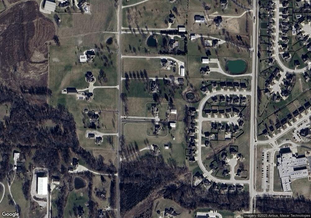
Map
Nearby Homes
- 1515 NW Whispering Ct
- 31101 Tyer Rd
- 2109 NW Sweetgum Ct
- 1607 NW Pin Oak Ct
- 952 NW Maplewood Ct
- 950 NW Maplewood Ct
- 816 NW Cedar Ln
- 900 NW Hawthorne Ct
- 1810 NW Bradford Ct
- 1009 NW Burr Oak Ln
- 1207 NW Hilltop Ln
- 803 NW Redbud Dr
- 2304 NW Rymeg Dr
- 913 NW Hickorywood Dr
- 904 NW Lindenwood Dr
- 1716 NW Nicholas Dr
- 906 NW Magnolia Ln
- 2237 NE Maybrook Dr
- 1607 NW Hilltop Ln
- 1405 NW Aspen Cir
- 4017 Tyer Rd
- 4105 Tyer Rd
- 1701 NW Pond Ave
- 1611 NW Pond Ave
- 1703 NW Pond Ave
- 4115 Tyer Rd
- 1609 NW Pond Ave
- 4011 Tyer Rd
- 1607 NW Pond Ave
- 1709 NW Pond Ave
- 1605 NW Pond Ave
- 1514 NW Whispering Ct
- 1603 NW Pond Ave
- 1708 NW Pond Ave
- 4108 Tyer Rd
- 1512 NW Whispering Ct
- 1606 NW Pond Ave
- 1513 NW Whispering Ct
- 1801 NW Pond Ave
- 1601 NW Pond Ave
Your Personal Tour Guide
Ask me questions while you tour the home.