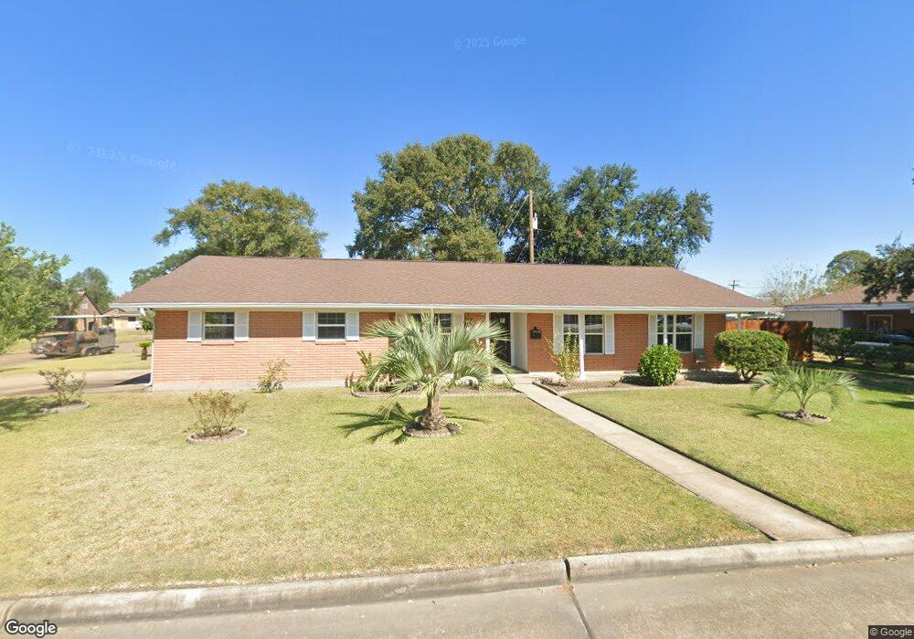
4102 Memorial Blvd Port Arthur, TX 77640
Estimated Value: $151,000 - $207,000
--
Bed
--
Bath
1,664
Sq Ft
$109/Sq Ft
Est. Value
About This Home
This home is located at 4102 Memorial Blvd, Port Arthur, TX 77640 and is currently estimated at $181,487, approximately $109 per square foot. 4102 Memorial Blvd is a home located in Jefferson County with nearby schools including Houston Elementary School, Abraham Lincoln Middle School, and Memorial High School.
Ownership History
Date
Name
Owned For
Owner Type
Purchase Details
Closed on
Feb 5, 2008
Sold by
Baker Lonnie Ray and Baker Angela Marie
Bought by
Galvan Demetrio B
Current Estimated Value
Home Financials for this Owner
Home Financials are based on the most recent Mortgage that was taken out on this home.
Original Mortgage
$100,000
Outstanding Balance
$63,374
Interest Rate
6.15%
Mortgage Type
Purchase Money Mortgage
Estimated Equity
$118,113
Purchase Details
Closed on
Jul 29, 2004
Sold by
Chapman Mary V Granger
Bought by
Baker Lonnie Ray and Baker Angela Marie
Create a Home Valuation Report for This Property
The Home Valuation Report is an in-depth analysis detailing your home's value as well as a comparison with similar homes in the area
Home Values in the Area
Average Home Value in this Area
Purchase History
| Date | Buyer | Sale Price | Title Company |
|---|---|---|---|
| Galvan Demetrio B | -- | None Available | |
| Baker Lonnie Ray | -- | -- |
Source: Public Records
Mortgage History
| Date | Status | Borrower | Loan Amount |
|---|---|---|---|
| Open | Galvan Demetrio B | $100,000 |
Source: Public Records
Tax History Compared to Growth
Tax History
| Year | Tax Paid | Tax Assessment Tax Assessment Total Assessment is a certain percentage of the fair market value that is determined by local assessors to be the total taxable value of land and additions on the property. | Land | Improvement |
|---|---|---|---|---|
| 2025 | $587 | $117,845 | -- | -- |
| 2024 | $587 | $107,132 | -- | -- |
| 2023 | $587 | $97,393 | $0 | $0 |
| 2022 | $2,812 | $88,539 | $0 | $0 |
| 2021 | $2,668 | $158,730 | $9,088 | $149,642 |
| 2020 | $772 | $73,173 | $9,088 | $64,085 |
| 2019 | $2,319 | $72,760 | $9,090 | $63,670 |
| 2018 | $1,700 | $72,760 | $9,090 | $63,670 |
| 2017 | $1,649 | $72,760 | $9,090 | $63,670 |
| 2016 | $2,131 | $72,760 | $9,090 | $63,670 |
| 2015 | $1,758 | $77,810 | $9,090 | $68,720 |
| 2014 | $1,758 | $73,770 | $9,090 | $64,680 |
Source: Public Records
Map
Nearby Homes
- 4011 Everglades Ave
- 3807 Platt Ave
- 425 Rachel Ave
- 2715 35th St
- 3425 Memorial Blvd
- 2630 34th St
- 3801 7th Ave
- 3200 4th Ave
- 3639 41st St
- 3124 30th St
- 3500 32nd St
- 3208 29th St
- 3721 Avalon Ave
- 4200 Lexington Ave
- 3015 25th St
- 3836 Lexington Ave
- 3812 30th St
- 4034 32nd St
- 4433 & 4435 Neches Ave
- 2323 7th Ave
- 4111 Big Bend Ave
- 4032 Memorial Blvd
- 4101 Big Bend Ave
- 4031 Big Bend Ave
- 2909 Zion St
- 4021 Big Bend Ave
- 4100 Big Bend Ave
- 4110 Big Bend Ave
- 4120 Big Bend Ave
- 4141 Big Bend Ave
- 4020 Big Bend Ave
- 4128 Big Bend Ave
- 2935 40th St
- 4140 Big Bend Ave
- 4010 Big Bend Ave
- 4201 Big Bend Ave
- 2936 40th St
- 4111 Sequoia Ave
- 2941 40th St
- 2931 39th St