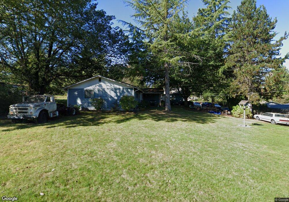
4102 Ramsey Rd SE Port Orchard, WA 98366
Estimated Value: $503,000 - $562,000
3
Beds
3
Baths
2,328
Sq Ft
$229/Sq Ft
Est. Value
About This Home
This home is located at 4102 Ramsey Rd SE, Port Orchard, WA 98366 and is currently estimated at $533,667, approximately $229 per square foot. 4102 Ramsey Rd SE is a home with nearby schools including Hidden Creek Elementary School, Marcus Whitman Middle School, and South Kitsap High School.
Ownership History
Date
Name
Owned For
Owner Type
Purchase Details
Closed on
Nov 30, 1998
Sold by
Federal Home Loan Mortgage Corporation
Bought by
Cordova Richard L and Mckay Michelle L
Current Estimated Value
Home Financials for this Owner
Home Financials are based on the most recent Mortgage that was taken out on this home.
Original Mortgage
$130,465
Outstanding Balance
$29,405
Interest Rate
6.69%
Estimated Equity
$504,262
Create a Home Valuation Report for This Property
The Home Valuation Report is an in-depth analysis detailing your home's value as well as a comparison with similar homes in the area
Home Values in the Area
Average Home Value in this Area
Purchase History
| Date | Buyer | Sale Price | Title Company |
|---|---|---|---|
| Cordova Richard L | -- | First American Title Ins Co |
Source: Public Records
Mortgage History
| Date | Status | Borrower | Loan Amount |
|---|---|---|---|
| Open | Cordova Richard L | $130,465 |
Source: Public Records
Tax History Compared to Growth
Tax History
| Year | Tax Paid | Tax Assessment Tax Assessment Total Assessment is a certain percentage of the fair market value that is determined by local assessors to be the total taxable value of land and additions on the property. | Land | Improvement |
|---|---|---|---|---|
| 2026 | $3,501 | $429,030 | $100,600 | $328,430 |
| 2025 | $3,501 | $401,240 | $82,730 | $318,510 |
| 2024 | $3,380 | $401,240 | $82,730 | $318,510 |
| 2023 | $3,377 | $401,240 | $82,730 | $318,510 |
| 2022 | $3,381 | $338,170 | $77,260 | $260,910 |
| 2021 | $3,297 | $312,600 | $71,790 | $240,810 |
| 2020 | $3,261 | $299,810 | $68,370 | $231,440 |
| 2019 | $3,156 | $317,740 | $67,280 | $250,460 |
| 2018 | $3,374 | $266,590 | $67,280 | $199,310 |
| 2017 | $2,921 | $266,590 | $67,280 | $199,310 |
| 2016 | $2,875 | $242,880 | $67,280 | $175,600 |
| 2015 | $2,785 | $239,140 | $67,280 | $171,860 |
| 2014 | $2,809 | $235,390 | $67,280 | $168,110 |
| 2013 | $2,617 | $227,440 | $70,820 | $156,620 |
Source: Public Records
Map
Nearby Homes
- 4278 Acacia Ln SE
- 4275 Acacia Ln SE
- 3922 Bethel Rd SE
- 907 Bunting Place SE
- 1743 SE Crawford Rd
- 902 Bunting Place SE Unit 84
- 4207 Nettle Dr SE
- 1285 Koda Cir SE
- 1116 Koda Cir SE
- 1164 Koda Cir SE
- 1612 SE Sylvis Ln
- 4471 Bristol Ln SE
- 4505 Bristol Ln SE
- 1073 Sedgewick
- 280 Flower Meadows St
- 200 Leora Park St
- 0 Geiger Rd SE
- 122 Fireweed St
- 4777 Okanogan Dr SE
- 2225 SE Kelby Cir
- 4164 Ramsey Rd SE
- 1235 SE Belford Ln
- 1346 SE Salmonberry Rd
- 0 Ramsey Rd SE Unit 642869
- 0 Ramsey Rd SE Unit 1037967
- 0 Ramsey Rd SE Unit NWM55121175
- 0 Ramsey Rd SE Unit 1790918
- 4145 Ramsey Rd SE
- 1324 SE Salmonberry Rd
- 1330 SE Salmonberry Rd
- 1255 SE Belford Ln
- 1276 SE Salmonberry Rd
- 4262 Ramsey Rd SE
- 1236 SE Belford Ln
- 1310 SE La Donna Ct
- 1306 SE La Donna Ct
- 4288 Andasio Loop SE
- 4286 Andasio Loop SE
- 4290 Andasio Loop SE
- 4282 Andasio Loop SE