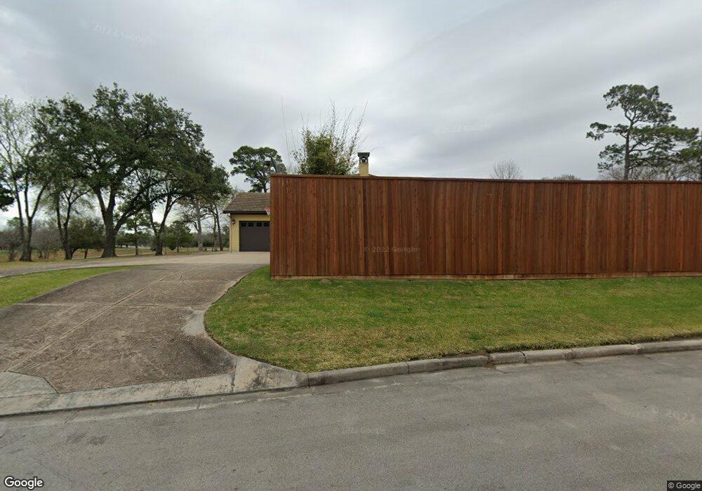
4102 S Macgregor Way Houston, TX 77021
MacGregor NeighborhoodEstimated Value: $937,000 - $1,284,000
5
Beds
5
Baths
3,904
Sq Ft
$280/Sq Ft
Est. Value
About This Home
This home is located at 4102 S Macgregor Way, Houston, TX 77021 and is currently estimated at $1,091,620, approximately $279 per square foot. 4102 S Macgregor Way is a home located in Harris County with nearby schools including Peck Elementary School, Cullen Middle School, and Yates High School.
Ownership History
Date
Name
Owned For
Owner Type
Purchase Details
Closed on
May 30, 2025
Sold by
Doss Tommy Lee
Bought by
Shippy Angela
Current Estimated Value
Purchase Details
Closed on
Jul 19, 2000
Sold by
Higgs Julia P
Bought by
Shippy Angela A
Home Financials for this Owner
Home Financials are based on the most recent Mortgage that was taken out on this home.
Original Mortgage
$332,500
Interest Rate
8.75%
Purchase Details
Closed on
Oct 8, 1996
Sold by
Mendelovitz Mark C
Bought by
Higgs Julia P
Create a Home Valuation Report for This Property
The Home Valuation Report is an in-depth analysis detailing your home's value as well as a comparison with similar homes in the area
Home Values in the Area
Average Home Value in this Area
Purchase History
| Date | Buyer | Sale Price | Title Company |
|---|---|---|---|
| Shippy Angela | -- | None Listed On Document | |
| Shippy Angela A | -- | American Title Co | |
| Higgs Julia P | -- | American Title Co |
Source: Public Records
Mortgage History
| Date | Status | Borrower | Loan Amount |
|---|---|---|---|
| Previous Owner | Shippy Angela A | $332,500 |
Source: Public Records
Tax History
| Year | Tax Paid | Tax Assessment Tax Assessment Total Assessment is a certain percentage of the fair market value that is determined by local assessors to be the total taxable value of land and additions on the property. | Land | Improvement |
|---|---|---|---|---|
| 2025 | $16,919 | $1,060,826 | $623,810 | $437,016 |
| 2024 | $16,919 | $1,060,826 | $623,810 | $437,016 |
| 2023 | $16,919 | $1,060,826 | $623,810 | $437,016 |
| 2022 | $22,697 | $1,052,326 | $623,810 | $428,516 |
| 2021 | $20,757 | $890,584 | $453,680 | $436,904 |
| 2020 | $22,590 | $890,584 | $453,680 | $436,904 |
| 2019 | $24,736 | $935,044 | $425,325 | $509,719 |
| 2018 | $23,661 | $935,044 | $425,325 | $509,719 |
| 2017 | $16,989 | $642,641 | $425,325 | $217,316 |
| 2016 | $12,680 | $595,673 | $425,325 | $170,348 |
| 2015 | $8,015 | $595,673 | $425,325 | $170,348 |
| 2014 | $8,015 | $396,401 | $311,905 | $84,496 |
Source: Public Records
Map
Nearby Homes
- 0 S Macgregor Way Unit 68999068
- 4031 Fernwood Dr
- 3922 Roseneath Dr
- 4102 Charleston St
- 4301 Charleston St
- 5730 Cullen Blvd
- 4310 Fernwood Dr
- 4315 Fernwood Dr
- 4042 Glen Cove Dr
- 4030 Glen Cove Dr
- 4130 Glen Cove Ct
- 4015 England Ct E
- 4327 Alconbury Ln
- 3817 Palm St
- 3942 Charleston St
- 5411 Leopold Dr
- 3805 Palm St
- 3825 Wichita St
- 4155 Griggs Rd
- 4013 Griggs Rd Unit B
- 4100 S Macgregor Way
- 4106 S Macgregor Way
- 4101 Roseneath Dr
- 4111 Roseneath Dr
- 4114 S Macgregor Way
- 4115 Roseneath Dr
- 0 S Macgregor Way Unit 94380145
- 0 S Macgregor Way Unit 82625488
- 0 S Macgregor Way Unit 2296310
- 4202 S Macgregor Way
- 4000 S Macgregor Way
- 4203 Roseneath Dr
- 4110 Roseneath Dr
- 4102 Roseneath Dr
- 4114 Roseneath Dr
- 4207 Roseneath Dr
- 4106 Roseneath Dr
- 4118 Roseneath Dr
- 4030 Roseneath Dr
- 4122 Roseneath Dr
Your Personal Tour Guide
Ask me questions while you tour the home.