4103 Anchor Ln Brighton, MI 48116
Estimated Value: $729,880 - $1,035,000
4
Beds
4
Baths
2,768
Sq Ft
$318/Sq Ft
Est. Value
About This Home
This home is located at 4103 Anchor Ln, Brighton, MI 48116 and is currently estimated at $880,720, approximately $318 per square foot. 4103 Anchor Ln is a home located in Livingston County with nearby schools including Hornung Elementary School, Scranton Middle School, and Brighton High School.
Ownership History
Date
Name
Owned For
Owner Type
Purchase Details
Closed on
Feb 11, 2004
Sold by
Zoppa Robert J
Bought by
Zoppa Robert J and Zoppa Starlene A
Current Estimated Value
Home Financials for this Owner
Home Financials are based on the most recent Mortgage that was taken out on this home.
Original Mortgage
$240,550
Outstanding Balance
$100,643
Interest Rate
4.5%
Mortgage Type
New Conventional
Estimated Equity
$780,077
Purchase Details
Closed on
Oct 12, 2001
Sold by
Albrant Lyle H and Albrant Shirley A
Bought by
Zoppa Robert J
Create a Home Valuation Report for This Property
The Home Valuation Report is an in-depth analysis detailing your home's value as well as a comparison with similar homes in the area
Home Values in the Area
Average Home Value in this Area
Purchase History
| Date | Buyer | Sale Price | Title Company |
|---|---|---|---|
| Zoppa Robert J | -- | -- | |
| Zoppa Robert J | $381,500 | American Title Co |
Source: Public Records
Mortgage History
| Date | Status | Borrower | Loan Amount |
|---|---|---|---|
| Open | Zoppa Robert J | $240,550 | |
| Closed | Zoppa Robert J | $92,100 |
Source: Public Records
Tax History
| Year | Tax Paid | Tax Assessment Tax Assessment Total Assessment is a certain percentage of the fair market value that is determined by local assessors to be the total taxable value of land and additions on the property. | Land | Improvement |
|---|---|---|---|---|
| 2025 | $3,110 | $473,700 | $0 | $0 |
| 2024 | $3,024 | $381,300 | $0 | $0 |
| 2023 | $2,893 | $321,100 | $0 | $0 |
| 2022 | $5,090 | $236,900 | $0 | $0 |
| 2021 | $4,878 | $269,700 | $0 | $0 |
| 2020 | $4,951 | $241,900 | $0 | $0 |
| 2019 | $4,878 | $236,900 | $0 | $0 |
| 2018 | $4,602 | $165,700 | $0 | $0 |
| 2017 | $3,509 | $165,700 | $0 | $0 |
| 2016 | $3,460 | $157,700 | $0 | $0 |
| 2014 | $2,923 | $134,800 | $0 | $0 |
| 2012 | $2,923 | $130,100 | $0 | $0 |
Source: Public Records
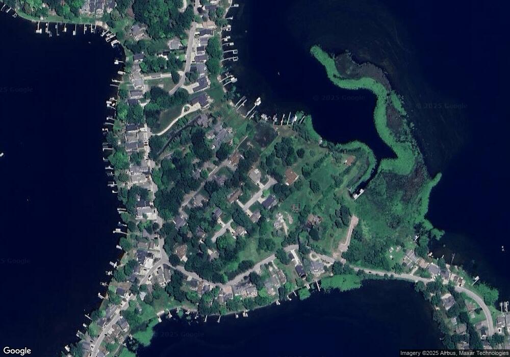
Map
Nearby Homes
- 4358 Skusa Dr
- 4531 Clifford Rd
- 4563 Clifford Rd
- 5380 Versailles Ave
- 4592 Leblanc Ct Unit 20
- 4227 Colonial Ct
- 3340 Pineridge Ln
- 3186 Aspen Ridge Ct
- 4525 Mapleton Dr
- 4179 Saint Andrews St
- 4868 Pine Eagles Ct Unit 1
- 5060 Glenway Dr
- 4001 S Latson Rd
- 5084 Kintyre Ln Unit 1
- 5080 Chilson Rd
- 6511 Forest Beach Dr
- 4422 Argenta Dr
- 1047 Weatherstone Ln
- 5728 Eggert Place
- 5068 Brookwood Meadows Dr
- 5140 Willow Grove Ln
- 4077 Anchor Ln
- 4102 Anchor Ln
- 5110 Willow Grove Ln
- 4074 Anchor Ln
- 3975 Highcrest Dr
- 4127 Clifford Rd
- 4127 Clifford Rd
- 4055 Anchor Ln
- 4121 Anchor Ln
- 5082 Willow Grove Ln
- 4054 Anchor Ln
- 3953 Highcrest Dr
- 3945 Highcrest Dr
- VL Willow Grove Ln
- 4137 Clifford Rd
- 4041 Anchor Ln
- 3937 Highcrest Dr Unit Bldg-Unit
- 3937 Highcrest Dr
Your Personal Tour Guide
Ask me questions while you tour the home.