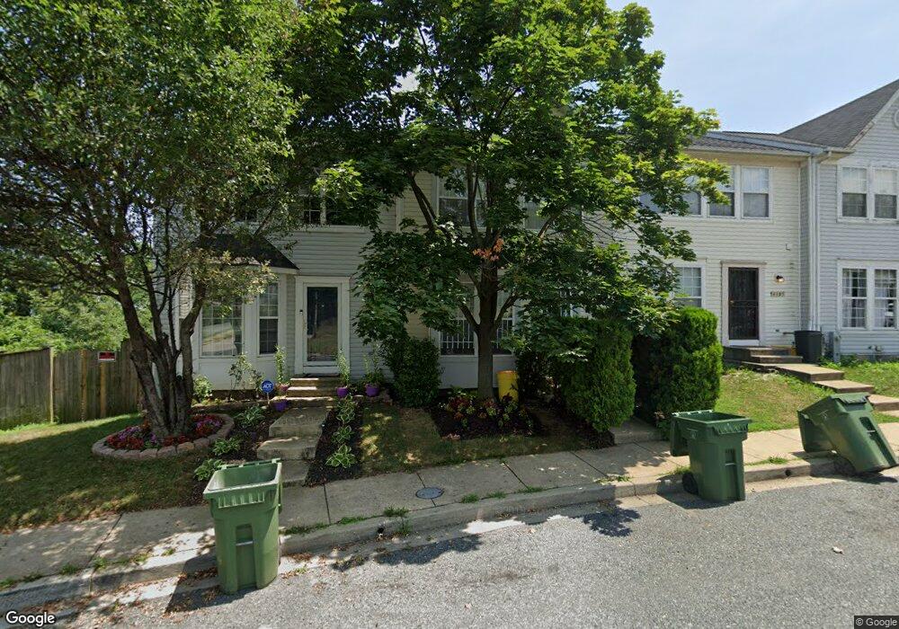
4103 Pascal Ave Curtis Bay, MD 21226
Curtis Bay NeighborhoodEstimated Value: $135,000 - $157,038
Studio
2
Baths
1,116
Sq Ft
$131/Sq Ft
Est. Value
About This Home
This home is located at 4103 Pascal Ave, Curtis Bay, MD 21226 and is currently estimated at $146,019, approximately $130 per square foot. 4103 Pascal Ave is a home located in Baltimore City with nearby schools including Curtis Bay Elementary School, Booker T. Washington Middle School, and Benjamin Franklin High School.
Ownership History
Date
Name
Owned For
Owner Type
Purchase Details
Closed on
May 10, 2016
Sold by
Dawson Leonard and Howard Sherri R
Bought by
Howard Sherri R
Current Estimated Value
Home Financials for this Owner
Home Financials are based on the most recent Mortgage that was taken out on this home.
Original Mortgage
$85,975
Outstanding Balance
$68,263
Interest Rate
3.58%
Mortgage Type
New Conventional
Estimated Equity
$77,756
Purchase Details
Closed on
Mar 9, 1998
Sold by
Harris Hill Llc
Bought by
Dawson Leonard and Howard Sherri R
Create a Home Valuation Report for This Property
The Home Valuation Report is an in-depth analysis detailing your home's value as well as a comparison with similar homes in the area
Home Values in the Area
Average Home Value in this Area
Purchase History
| Date | Buyer | Sale Price | Title Company |
|---|---|---|---|
| Howard Sherri R | -- | Attorney | |
| Dawson Leonard | $90,465 | -- |
Source: Public Records
Mortgage History
| Date | Status | Borrower | Loan Amount |
|---|---|---|---|
| Open | Howard Sherri R | $85,975 |
Source: Public Records
Tax History
| Year | Tax Paid | Tax Assessment Tax Assessment Total Assessment is a certain percentage of the fair market value that is determined by local assessors to be the total taxable value of land and additions on the property. | Land | Improvement |
|---|---|---|---|---|
| 2025 | $2,491 | $138,033 | -- | -- |
| 2024 | $2,491 | $126,967 | -- | -- |
| 2023 | $2,453 | $115,900 | $15,000 | $100,900 |
| 2022 | $2,368 | $112,167 | $0 | $0 |
| 2021 | $2,559 | $108,433 | $0 | $0 |
| 2020 | $2,217 | $104,700 | $15,000 | $89,700 |
| 2019 | $2,206 | $104,700 | $15,000 | $89,700 |
| 2018 | $2,247 | $104,700 | $15,000 | $89,700 |
| 2017 | $2,768 | $127,200 | $0 | $0 |
| 2016 | $2,431 | $127,200 | $0 | $0 |
| 2015 | $2,431 | $127,200 | $0 | $0 |
| 2014 | $2,431 | $127,300 | $0 | $0 |
Source: Public Records
Map
Nearby Homes
- 1326 Tompkins St
- 4030 Pennington Ave
- 1509 Locust St
- 4116 Morrison Ct
- 4115 Morrison Ct
- 4203 Morrison Ct
- 1616 Plum St
- 4415 Fairhaven Ave
- 1614 Popland St
- 4222 Grace Ct
- 1510 Sycamore St
- 4211 Grace Ct
- 1626 Hazel St
- 1509 Filbert St
- 1137 Monroe Cir
- 1351 Cambria St
- 1503 Elmtree St
- 1347 Cambria St
- 4525 Pennington Ave
- 4529 Pennington Ave
- 4105 Pascal Ave
- 4101 Pascal Ave
- 4107 Pascal Ave
- 4109 Pascal Ave
- 4019 Pascal Ave
- 4111 Pascal Ave
- 4017 Pascal Ave
- 4015 Pascal Ave
- 4113 Pascal Ave
- 1418 Olmstead St
- 4106 Fairhaven Ave
- 4104 Fairhaven Ave
- 4013 Pascal Ave
- 4100 Fairhaven Ave
- 4102 Fairhaven Ave
- 4115 Pascal Ave
- 1420 Olmstead St
- 4011 Pascal Ave
- 4117 Pascal Ave
- 1422 Olmstead St
Your Personal Tour Guide
Ask me questions while you tour the home.