Estimated Value: $187,863 - $208,000
Studio
1
Bath
1,532
Sq Ft
$126/Sq Ft
Est. Value
About This Home
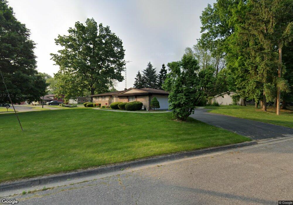
This home is located at 4103 Sam Snead Dr, Flint, MI 48506 and is currently estimated at $193,716, approximately $126 per square foot. 4103 Sam Snead Dr is a home located in Genesee County with nearby schools including Weston Elementary School, Kate Dowdall Elementary School, and Leota Fiedler Elementary School.
Ownership History
Date
Name
Owned For
Owner Type
Purchase Details
Closed on
Mar 31, 2016
Sold by
Hanson Norma J and Norma J Hanson Trust
Bought by
Birmingham Faith
Current Estimated Value
Home Financials for this Owner
Home Financials are based on the most recent Mortgage that was taken out on this home.
Original Mortgage
$77,569
Outstanding Balance
$62,881
Interest Rate
4.4%
Mortgage Type
FHA
Estimated Equity
$130,835
Purchase Details
Closed on
Sep 20, 2006
Sold by
Hanson Norma J and Hanson Paul C
Bought by
Hanson Norma J and Norma J Hanson Trust
Create a Home Valuation Report for This Property
The Home Valuation Report is an in-depth analysis detailing your home's value as well as a comparison with similar homes in the area
Home Values in the Area
Average Home Value in this Area
Purchase History
| Date | Buyer | Sale Price | Title Company |
|---|---|---|---|
| Birmingham Faith | $79,000 | Mason Burgess Title Agency | |
| Hanson Norma J | -- | None Available |
Source: Public Records
Mortgage History
| Date | Status | Borrower | Loan Amount |
|---|---|---|---|
| Open | Birmingham Faith | $77,569 |
Source: Public Records
Tax History
| Year | Tax Paid | Tax Assessment Tax Assessment Total Assessment is a certain percentage of the fair market value that is determined by local assessors to be the total taxable value of land and additions on the property. | Land | Improvement |
|---|---|---|---|---|
| 2025 | $2,604 | $100,300 | $0 | $0 |
| 2024 | $723 | $98,000 | $0 | $0 |
| 2023 | $690 | $89,800 | $0 | $0 |
| 2022 | $2,129 | $78,100 | $0 | $0 |
| 2021 | $2,097 | $69,100 | $0 | $0 |
| 2020 | $618 | $64,100 | $0 | $0 |
| 2019 | $608 | $59,500 | $0 | $0 |
| 2018 | $1,980 | $52,200 | $0 | $0 |
| 2017 | $1,919 | $50,100 | $0 | $0 |
| 2016 | $2,192 | $47,400 | $0 | $0 |
| 2015 | $1,296 | $43,800 | $0 | $0 |
| 2014 | $433 | $38,600 | $0 | $0 |
| 2012 | -- | $39,100 | $39,100 | $0 |
Source: Public Records
Map
Nearby Homes
- 0 Sugar Maple Farms Unit 50195365
- 4413 Esta Dr
- 4141 Hidden View Dr
- 4435 Meadowbrook Dr
- 5067 Paro Dr
- 4452 Muriel Dr
- 4455 N Genesee Rd
- 4298 N Center Rd
- 0000 Home Town Dr
- 4489 Home Town Dr Unit 32
- 4414 Market Place
- 4417 Market Place
- 4425 Market Place
- 4435 Market Place
- 4441 Market Place
- 4453 Market Place
- 4459 Market Place
- 3246 Comer Dr
- 4465 Market Place
- 3456 E Pierson Rd
- 4083 Sam Snead Dr
- 4330 Tommy Armour Dr
- 4200 Springfield st Holly Ave
- 0 Sugar Maple Farms Unit 58050026250
- 4153 Hidden
- 4147 Hidden
- 23 lots + 12.68 acre Turtle Cove Development
- TBD Pheasant Dr
- N Center Rd
- 4376 Tommy Armour Dr
- 4331 Tommy Armour Dr
- 4090 Sam Snead Dr
- 4071 Sam Snead Dr
- 4323 Tommy Armour Dr
- 4357 Tommy Armour Dr
- 4082 Sam Snead Dr
- 4384 Tommy Armour Dr
- 4315 Tommy Armour Dr
- 4367 Tommy Armour Dr
- 4070 Sam Snead Dr
Your Personal Tour Guide
Ask me questions while you tour the home.