4104 N 535 Rd Tahlequah, OK 74464
Estimated Value: $111,000 - $374,000
3
Beds
2
Baths
2,160
Sq Ft
$107/Sq Ft
Est. Value
About This Home
This home is located at 4104 N 535 Rd, Tahlequah, OK 74464 and is currently estimated at $230,599, approximately $106 per square foot. 4104 N 535 Rd is a home located in Cherokee County with nearby schools including Oaks-Mission Elementary School and Oaks-Mission High School.
Ownership History
Date
Name
Owned For
Owner Type
Purchase Details
Closed on
Oct 13, 2023
Sold by
Blankenship Barbara and Blankenship Dawn
Bought by
Blankenship Barbara and Blankenship Dawn
Current Estimated Value
Purchase Details
Closed on
Nov 6, 2018
Sold by
Thompson William H and Thompson Dianna
Bought by
Blankenship Barbara and Blankenship Dawn
Purchase Details
Closed on
Aug 10, 2017
Sold by
Blankenship Franklin V and Blankenship Barbara
Bought by
Blankenship Franklin V and Blankenship Barbara
Create a Home Valuation Report for This Property
The Home Valuation Report is an in-depth analysis detailing your home's value as well as a comparison with similar homes in the area
Home Values in the Area
Average Home Value in this Area
Purchase History
| Date | Buyer | Sale Price | Title Company |
|---|---|---|---|
| Blankenship Barbara | -- | None Listed On Document | |
| Blankenship Barbara | -- | None Available | |
| Blankenship Franklin V | -- | None Available |
Source: Public Records
Tax History Compared to Growth
Tax History
| Year | Tax Paid | Tax Assessment Tax Assessment Total Assessment is a certain percentage of the fair market value that is determined by local assessors to be the total taxable value of land and additions on the property. | Land | Improvement |
|---|---|---|---|---|
| 2025 | $90 | $2,255 | $1,203 | $1,052 |
| 2024 | $86 | $2,189 | $1,203 | $986 |
| 2023 | $86 | $2,125 | $1,203 | $922 |
| 2022 | $77 | $2,063 | $1,221 | $842 |
| 2021 | $72 | $2,003 | $1,185 | $818 |
| 2020 | $68 | $1,945 | $1,151 | $794 |
| 2019 | $64 | $1,888 | $1,117 | $771 |
| 2018 | $60 | $1,834 | $1,085 | $749 |
| 2017 | $56 | $1,780 | $676 | $1,104 |
| 2016 | $52 | $1,728 | $532 | $1,196 |
| 2015 | $44 | $1,678 | $610 | $1,068 |
| 2014 | $44 | $1,629 | $592 | $1,037 |
Source: Public Records
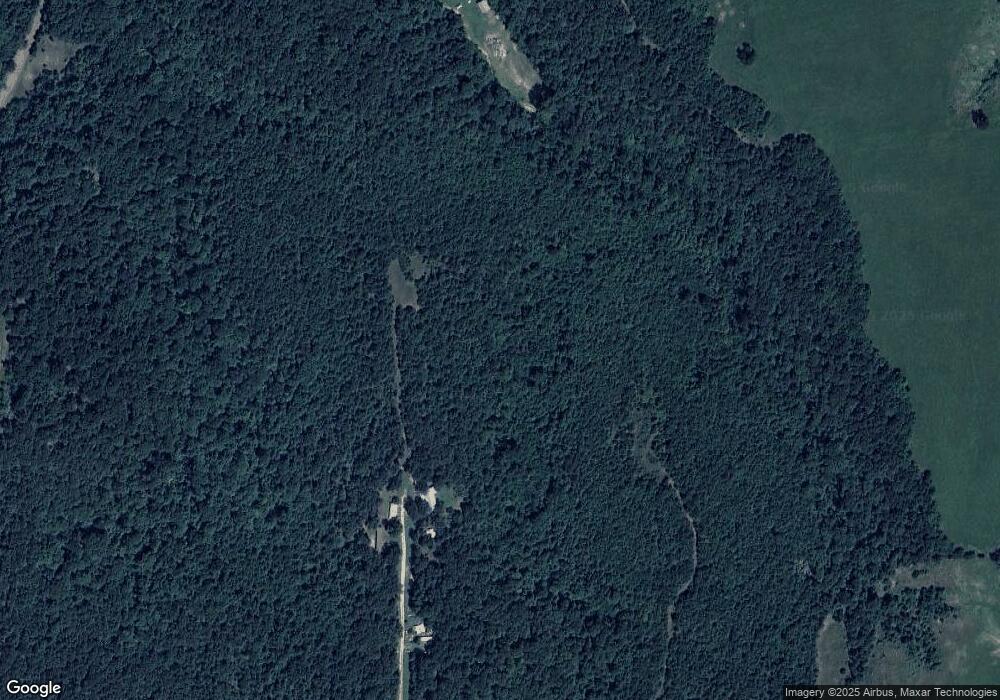
Map
Nearby Homes
- 4422 Highway 82a
- Hwy 82a Lot Unit WP001
- 0000 S Hwy 82 A
- 7002 N 559 Rd
- 0 N 510 Rd Unit 2543283
- 0 N 510 Rd Unit 2543284
- 0 N 510 Rd Unit 2543190
- 0 N 510 Rd Unit 2547590
- 0 N 510 Rd Unit 2543294
- 0 N 510 Rd Unit 2543293
- 0 N 510 Rd Unit 2546232
- 0 N 510 Rd Unit 2543297
- 00000 E 660 Rd
- 8119 N 544 Rd
- 8195 Hwy 82 A
- 1370 E 580 Rd
- 5690 E 570 Rd
- 0 0 Unit 1084047
- 177 S Military Rd
- 4395 N Oaks Rd
- 20287 E 626 Rd
- 19893 E 626 Rd
- 19994 E 626 Rd
- 20293 E 626 Rd
- 4109 N 535 Rd
- 20353 E 626 Rd
- 20282 E 626 Rd
- 3906 Highway 82a
- 4317 N 535 Rd
- 4335 N 535 Rd
- 20217 E 613 Rd
- 20397 E 626 Rd
- 4163 Highway 82a
- 3300 Highway 82a
- 4463 N 535 Rd
- 4112 Highway 82a
- 3896 Highway 82a
- 20361 E 613 Rd
- 4227 Highway 82a
- 0 E 613 Rd Unit 2100261