4104 S Rust Rd Grain Valley, MO 64029
Estimated Value: $608,000 - $1,207,498
5
Beds
5
Baths
4,880
Sq Ft
$175/Sq Ft
Est. Value
About This Home
This home is located at 4104 S Rust Rd, Grain Valley, MO 64029 and is currently estimated at $853,833, approximately $174 per square foot. 4104 S Rust Rd is a home located in Jackson County with nearby schools including Grain Valley High School.
Ownership History
Date
Name
Owned For
Owner Type
Purchase Details
Closed on
Nov 12, 2021
Sold by
Clark Revocable Trust
Bought by
Osuna Keyla and Waldrop Chad
Current Estimated Value
Purchase Details
Closed on
Apr 5, 2018
Sold by
Wilke Jeffrey L and Wilke Sheila D
Bought by
Osuna Keyla and Waldrop Chad
Home Financials for this Owner
Home Financials are based on the most recent Mortgage that was taken out on this home.
Original Mortgage
$765,000
Interest Rate
4.43%
Mortgage Type
Purchase Money Mortgage
Create a Home Valuation Report for This Property
The Home Valuation Report is an in-depth analysis detailing your home's value as well as a comparison with similar homes in the area
Home Values in the Area
Average Home Value in this Area
Purchase History
| Date | Buyer | Sale Price | Title Company |
|---|---|---|---|
| Osuna Keyla | -- | None Listed On Document | |
| Osuna Keyla | -- | Mccaffree Short Title |
Source: Public Records
Mortgage History
| Date | Status | Borrower | Loan Amount |
|---|---|---|---|
| Previous Owner | Osuna Keyla | $765,000 |
Source: Public Records
Tax History
| Year | Tax Paid | Tax Assessment Tax Assessment Total Assessment is a certain percentage of the fair market value that is determined by local assessors to be the total taxable value of land and additions on the property. | Land | Improvement |
|---|---|---|---|---|
| 2025 | $10,510 | $133,929 | $33,265 | $100,664 |
| 2024 | $10,072 | $147,030 | $29,406 | $117,624 |
| 2023 | $10,072 | $147,029 | $29,406 | $117,623 |
| 2022 | $7,712 | $101,270 | $9,500 | $91,770 |
| 2021 | $7,498 | $101,270 | $9,500 | $91,770 |
| 2020 | $11,187 | $151,678 | $14,516 | $137,162 |
| 2019 | $10,911 | $151,678 | $14,516 | $137,162 |
| 2018 | $7,409 | $96,467 | $35,739 | $60,728 |
| 2017 | $7,409 | $96,467 | $35,739 | $60,728 |
| 2016 | $7,219 | $94,050 | $16,031 | $78,019 |
Source: Public Records
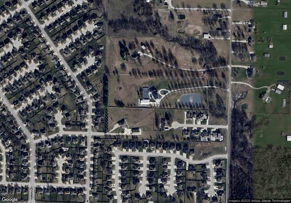
Map
Nearby Homes
- 1809 NW Madi Ct
- 950 NW Maplewood Ct
- 952 NW Maplewood Ct
- 900 NW Hawthorne Ct
- 1810 NW Bradford Ct
- 1716 NW Nicholas Dr
- TBD E Duncan Rd
- 816 NW Cedar Ln
- 404 NW Orion Dr
- 904 NW Lindenwood Dr
- 913 NW Hickorywood Dr
- 2304 NW Rymeg Dr
- 1009 NW Burr Oak Ln
- 1607 NW Pin Oak Ct
- 814 NW Hickory Ridge Dr
- 1410 NW Nolan Dr
- 1515 NW Whispering Ct
- 1404 NW Maple Dr
- 31101 Tyer Rd
- 1402 NW Burr Oak Ln
- 416 NW Rust Ct
- 700 NW Redbud Dr
- 408 NW Rust Ct
- 4016 S Rust Rd
- 413 NW Rust Ct
- 514 NW Bailey Dr
- 409 NW Rust Ct
- 508 NW Bailey Dr
- 510 NW Bailey Dr
- 516 NW Bailey Dr
- 512 NW Bailey Dr
- 506 NW Bailey Dr
- 518 NW Bailey Dr
- 1915 NW Hedgewood Dr
- 1913 NW Hedgewood Dr
- 520 NW Bailey Dr
- 504 NW Bailey Dr
- 1917 NW Hedgewood Dr
- 400 NW Rust Ct
- 1911 NW Hedgewood Dr
Your Personal Tour Guide
Ask me questions while you tour the home.