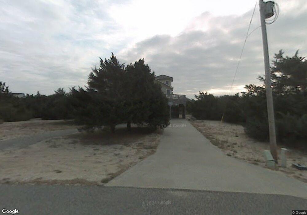
41046 Latitude Ln Unit 1220 Avon, NC 27915
Avon NeighborhoodEstimated Value: $594,000 - $1,898,000
4
Beds
3
Baths
2,278
Sq Ft
$413/Sq Ft
Est. Value
About This Home
This home is located at 41046 Latitude Ln Unit 1220, Avon, NC 27915 and is currently estimated at $939,793, approximately $412 per square foot. 41046 Latitude Ln Unit 1220 is a home located in Dare County with nearby schools including Cape Hatteras Elementary School and Cape Hatteras Secondary School.
Ownership History
Date
Name
Owned For
Owner Type
Purchase Details
Closed on
Aug 16, 2021
Sold by
Douglas Keith I and Douglas Patricia F
Bought by
Mallon Dennis T and Mallon Kim T
Current Estimated Value
Home Financials for this Owner
Home Financials are based on the most recent Mortgage that was taken out on this home.
Original Mortgage
$468,000
Outstanding Balance
$424,916
Interest Rate
2.8%
Mortgage Type
New Conventional
Estimated Equity
$514,877
Purchase Details
Closed on
Feb 23, 2010
Sold by
Leuthold Dale and Jenkins Leuthold Susan
Bought by
Douglas Keith I and Douglas Patricia F
Home Financials for this Owner
Home Financials are based on the most recent Mortgage that was taken out on this home.
Original Mortgage
$298,000
Interest Rate
4.97%
Mortgage Type
New Conventional
Create a Home Valuation Report for This Property
The Home Valuation Report is an in-depth analysis detailing your home's value as well as a comparison with similar homes in the area
Home Values in the Area
Average Home Value in this Area
Purchase History
| Date | Buyer | Sale Price | Title Company |
|---|---|---|---|
| Mallon Dennis T | $520,000 | None Available | |
| Douglas Keith I | $372,500 | None Available |
Source: Public Records
Mortgage History
| Date | Status | Borrower | Loan Amount |
|---|---|---|---|
| Open | Mallon Dennis T | $468,000 | |
| Previous Owner | Douglas Keith I | $298,000 |
Source: Public Records
Tax History Compared to Growth
Tax History
| Year | Tax Paid | Tax Assessment Tax Assessment Total Assessment is a certain percentage of the fair market value that is determined by local assessors to be the total taxable value of land and additions on the property. | Land | Improvement |
|---|---|---|---|---|
| 2024 | $2,245 | $345,100 | $50,900 | $294,200 |
| 2023 | $2,245 | $356,868 | $50,900 | $305,968 |
| 2022 | $2,209 | $356,868 | $50,900 | $305,968 |
| 2021 | $2,181 | $356,868 | $50,900 | $305,968 |
| 2020 | $1,683 | $356,868 | $50,900 | $305,968 |
| 2019 | $1,683 | $248,800 | $38,400 | $210,400 |
| 2018 | $1,690 | $248,800 | $38,400 | $210,400 |
| 2017 | $1,690 | $248,800 | $38,400 | $210,400 |
| 2016 | $1,580 | $248,800 | $38,400 | $210,400 |
| 2014 | $1,586 | $248,800 | $38,400 | $210,400 |
Source: Public Records
Map
Nearby Homes
- 41643 Starboard Dr Unit Lot 1223
- 41006 Latitude Ln Unit Lot 1217
- 41622 Starboard Dr Unit 1203
- 41620 Starboard Dr Unit Lot 1204
- 41159 Lakeside Dr Unit Lot 21
- 41155 Lakeside Dr Unit Lot 23
- 41155 Lakeside Dr
- 41587 Starboard Dr Unit 1103
- 41136 Anchor Ct Unit Lot: 710
- 41578 Starboard Dr Unit Lot 744
- 41197 Lakeside Dr Unit Lot BldSite2
- 41199 Lakeside Dr Unit Lot 1
- 41182 Fathom Ct Unit Lot: 802
- 41161 Keel Ct Unit Lot 901
- 41454 Ocean View Dr Unit Lot 20
- 41137 Portside Dr Unit Lot 1735
- 41193 Windlass Ct Unit 816
- 41192 Windlass Ct Unit Lot 819
- 41439 Ocean View Dr Unit Lot 3
- 41815 Ocean View Dr Unit Lot: 21
- 41046 Latitude Ln
- 41189 Starboard Dr
- 41072 Latitude Ln
- 41239 Starboard Dr
- 41185 Starboard Dr Unit 603
- 41185 Starboard Dr
- 41010 Latitude Ln Unit 1218
- 41010 Latitude Ln
- 41635 Starboard Dr
- 41043 Latitude Ln
- 41191 Carronade Ct
- 41198 Carronade Ct
- 0 Starboard Dr Unit 63206
- 0 Starboard Dr Unit 63207
- 0 Starboard Dr Unit 63204
- 0 Starboard Dr Unit 63205
- 0 Starboard Dr Unit 63202
- 0 Starboard Dr Unit 63203
- 0 Starboard Dr Unit 63201
- 0 Starboard Dr Unit 79627
