Estimated Value: $431,470 - $559,000
Studio
1
Bath
1,630
Sq Ft
$301/Sq Ft
Est. Value
About This Home
This home is located at 4105 34th St, Dorr, MI 49323 and is currently estimated at $490,368, approximately $300 per square foot. 4105 34th St is a home located in Allegan County with nearby schools including Hamilton High School.
Ownership History
Date
Name
Owned For
Owner Type
Purchase Details
Closed on
Dec 19, 2003
Sold by
Brower James A and Brower Sharlene R
Bought by
Brower Matthew J and Brower Katie L
Current Estimated Value
Home Financials for this Owner
Home Financials are based on the most recent Mortgage that was taken out on this home.
Original Mortgage
$241,400
Interest Rate
5.91%
Mortgage Type
New Conventional
Purchase Details
Closed on
Jun 1, 2002
Sold by
Brower James A and Brower Sharlene R
Bought by
Brower James A and Brower Sharlene R
Home Financials for this Owner
Home Financials are based on the most recent Mortgage that was taken out on this home.
Original Mortgage
$200,000
Interest Rate
6.87%
Create a Home Valuation Report for This Property
The Home Valuation Report is an in-depth analysis detailing your home's value as well as a comparison with similar homes in the area
Home Values in the Area
Average Home Value in this Area
Purchase History
| Date | Buyer | Sale Price | Title Company |
|---|---|---|---|
| Brower Matthew J | -- | Chicago Title | |
| Brower James A | -- | Chicago Title Of Michigan In |
Source: Public Records
Mortgage History
| Date | Status | Borrower | Loan Amount |
|---|---|---|---|
| Closed | Brower Matthew J | $241,400 | |
| Closed | Brower James A | $200,000 |
Source: Public Records
Tax History
| Year | Tax Paid | Tax Assessment Tax Assessment Total Assessment is a certain percentage of the fair market value that is determined by local assessors to be the total taxable value of land and additions on the property. | Land | Improvement |
|---|---|---|---|---|
| 2025 | $3,116 | $216,200 | $42,500 | $173,700 |
| 2024 | -- | $208,900 | $35,000 | $173,900 |
| 2023 | $2,857 | $193,500 | $34,000 | $159,500 |
| 2022 | $2,667 | $169,400 | $30,000 | $139,400 |
| 2021 | $2,717 | $157,200 | $30,000 | $127,200 |
| 2020 | $2,615 | $154,800 | $27,500 | $127,300 |
| 2019 | $2,577 | $137,400 | $23,500 | $113,900 |
| 2018 | $2,441 | $130,600 | $23,000 | $107,600 |
| 2017 | $0 | $132,100 | $22,500 | $109,600 |
| 2016 | $0 | $90,600 | $4,500 | $86,100 |
| 2015 | -- | $90,600 | $4,500 | $86,100 |
| 2014 | -- | $86,500 | $4,500 | $82,000 |
| 2013 | -- | $81,600 | $4,500 | $77,100 |
Source: Public Records
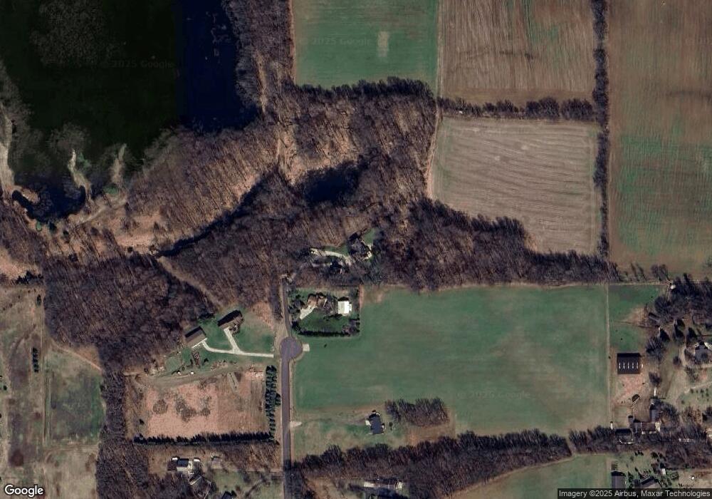
Map
Nearby Homes
- 3123 140th Ave
- 4144 Spring Meadow Dr
- 4089 30th St
- Parcel H 34th St
- 4564 34th St
- 4574 34th St
- 4596 Winding Creek Ln
- 3819 Hare Ln Unit 3
- 2982 136th Ave
- 3644 Payton Place
- 2729 138th Ave
- 3481 Jeffrey Spur
- Parcel 7 40th St
- 312 48th Ave
- 4277 Mason St
- 4230 Fenwick Dr
- Lot A 142nd Ave
- Lot B 142nd Ave
- 4040 Adams St
- 2579 136th Ave
- 4097 34th St
- 4096 34th St
- 4077 34th St
- 4051 34th St
- 4050 34th St
- 4100 Country Ln
- 4060 Country Ln
- 4055 Country Ln
- 4085 Lone Oak Path Unit 5
- 3439 Lone Oak Ln Unit 4
- 4077 Lone Oak Path Unit 6
- 4069 Lone Oak Path
- 4084 Lone Oak Path Unit 16
- 4061 Lone Oak Path Unit 8
- 4070 Lone Oak Path Unit 15
- 3444 Lone Oak Ct Unit 9
- 3459 Lone Oak Ln Unit 2
- 3456 Lone Oak Ln Unit 17
- 3455 Lone Oak Ct Unit 14
- 3454 Lone Oak Ct Unit 10
Your Personal Tour Guide
Ask me questions while you tour the home.