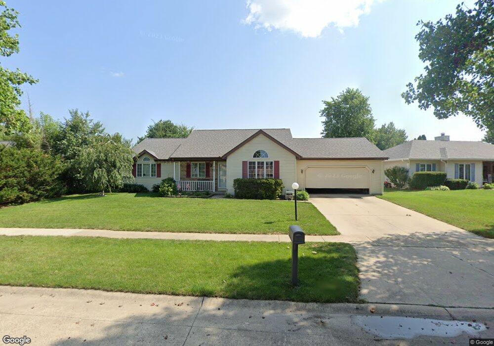
4105 Amherst Dr Champaign, IL 61822
Estimated Value: $256,283 - $315,000
Studio
--
Bath
--
Sq Ft
8,059
Sq Ft Lot
About This Home
This home is located at 4105 Amherst Dr, Champaign, IL 61822 and is currently estimated at $289,821. 4105 Amherst Dr is a home located in Champaign County with nearby schools including Centennial High School, Countryside School, and Swann Special Care Center-Elem/Secondary School.
Ownership History
Date
Name
Owned For
Owner Type
Purchase Details
Closed on
Dec 8, 2009
Sold by
Bacon Michael K
Bought by
Bacon Michael K and Bacon Tinh Phan
Current Estimated Value
Home Financials for this Owner
Home Financials are based on the most recent Mortgage that was taken out on this home.
Original Mortgage
$93,000
Outstanding Balance
$61,032
Interest Rate
5.02%
Mortgage Type
New Conventional
Estimated Equity
$228,789
Purchase Details
Closed on
Nov 15, 2007
Sold by
Dada Muhammad and Aqib Rabail
Bought by
Bacon Michael K
Purchase Details
Closed on
Dec 22, 2004
Sold by
Shen Shyh Chiang and Huang Minya A
Bought by
Dada Muhammad and Dada Mariam
Home Financials for this Owner
Home Financials are based on the most recent Mortgage that was taken out on this home.
Original Mortgage
$122,500
Interest Rate
5.84%
Mortgage Type
Purchase Money Mortgage
Create a Home Valuation Report for This Property
The Home Valuation Report is an in-depth analysis detailing your home's value as well as a comparison with similar homes in the area
Purchase History
| Date | Buyer | Sale Price | Title Company |
|---|---|---|---|
| Bacon Michael K | -- | None Available | |
| Bacon Michael K | $154,000 | None Available | |
| Dada Muhammad | $153,500 | -- |
Source: Public Records
Mortgage History
| Date | Status | Borrower | Loan Amount |
|---|---|---|---|
| Open | Bacon Michael K | $93,000 | |
| Previous Owner | Dada Muhammad | $122,500 |
Source: Public Records
Tax History
| Year | Tax Paid | Tax Assessment Tax Assessment Total Assessment is a certain percentage of the fair market value that is determined by local assessors to be the total taxable value of land and additions on the property. | Land | Improvement |
|---|---|---|---|---|
| 2024 | $3,288 | $69,210 | $17,610 | $51,600 |
| 2023 | $3,288 | $63,910 | $16,260 | $47,650 |
| 2022 | $3,695 | $59,620 | $15,170 | $44,450 |
| 2021 | $3,306 | $58,560 | $14,900 | $43,660 |
| 2020 | $3,313 | $57,980 | $14,750 | $43,230 |
| 2019 | $3,626 | $55,360 | $14,080 | $41,280 |
| 2018 | $3,622 | $55,360 | $14,080 | $41,280 |
| 2017 | $3,578 | $54,660 | $14,080 | $40,580 |
| 2016 | $3,089 | $52,870 | $14,080 | $38,790 |
| 2015 | $3,073 | $52,870 | $14,080 | $38,790 |
| 2014 | $3,032 | $51,360 | $14,080 | $37,280 |
| 2013 | $2,892 | $49,990 | $14,080 | $35,910 |
Source: Public Records
Map
Nearby Homes
- 4007 Turnberry Dr
- 3908 Turnberry Dr
- 3915 Aberdeen Dr
- 4203 Curtis Meadow Dr
- 3907 Balmoral Dr
- 3836 Balmoral Dr Unit 3836
- 1908 Woodfield Rd
- 3818 Thornhill Cir Unit 3818
- 1914 Trout Valley Dr
- 3604 Thornhill Dr Unit 3604
- 1914 Woodfield Rd
- 3330 W William St
- 4703 W Kirby Ave
- 4412 Brittany Trail Dr
- 1002 Goldenview Dr
- 4406 Crossgate Dr
- 4309 Crossgate Dr
- 4002 Lakepoint Rd
- 1805 Mullikin Dr
- 1607 Chestnut Grove Ct
- 4107 Amherst Dr
- 4103 Amherst Dr
- 4104 Manor Ct
- 4102 Manor Ct
- 4109 Amherst Dr
- 4106 Amherst Dr
- 1501 Glenshire Dr
- 4108 Amherst Dr
- 4104 Amherst Dr
- 1503 Glenshire Dr
- 4106 Manor Ct
- 4110 Amherst Dr
- 4101 Manor Ct
- 1505 Glenshire Dr
- 1407 Glenshire Dr
- 4111 Amherst Dr
- 4112 Amherst Dr
- 1504 Manchester Dr
- 1507 Glenshire Dr
- 1410 Manchester Dr
Your Personal Tour Guide
Ask me questions while you tour the home.