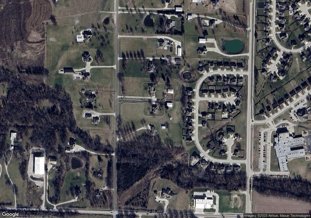
4105 Tyer Rd Grain Valley, MO 64029
Estimated Value: $534,503 - $712,000
3
Beds
4
Baths
2,005
Sq Ft
$296/Sq Ft
Est. Value
About This Home
This home is located at 4105 Tyer Rd, Grain Valley, MO 64029 and is currently estimated at $593,834, approximately $296 per square foot. 4105 Tyer Rd is a home located in Jackson County with nearby schools including Grain Valley High School.
Ownership History
Date
Name
Owned For
Owner Type
Purchase Details
Closed on
Jul 1, 2013
Sold by
Morris Robert L and Morris Kay F
Bought by
Buck William F and Buck Evelyn Kay
Current Estimated Value
Home Financials for this Owner
Home Financials are based on the most recent Mortgage that was taken out on this home.
Original Mortgage
$260,000
Outstanding Balance
$60,211
Interest Rate
3.54%
Mortgage Type
New Conventional
Estimated Equity
$533,623
Purchase Details
Closed on
Jan 14, 2000
Sold by
Ron Myrick Design Builders Inc
Bought by
Morris Robert L and Morris Kay F
Create a Home Valuation Report for This Property
The Home Valuation Report is an in-depth analysis detailing your home's value as well as a comparison with similar homes in the area
Purchase History
| Date | Buyer | Sale Price | Title Company |
|---|---|---|---|
| Buck William F | -- | Stewart Title Company | |
| Morris Robert L | -- | Stewart Title |
Source: Public Records
Mortgage History
| Date | Status | Borrower | Loan Amount |
|---|---|---|---|
| Open | Buck William F | $260,000 |
Source: Public Records
Tax History Compared to Growth
Tax History
| Year | Tax Paid | Tax Assessment Tax Assessment Total Assessment is a certain percentage of the fair market value that is determined by local assessors to be the total taxable value of land and additions on the property. | Land | Improvement |
|---|---|---|---|---|
| 2025 | $5,228 | $84,115 | $15,698 | $68,417 |
| 2024 | $5,011 | $73,144 | $14,545 | $58,599 |
| 2023 | $5,011 | $73,145 | $12,700 | $60,445 |
| 2022 | $4,963 | $65,170 | $6,489 | $58,681 |
| 2021 | $4,825 | $65,170 | $6,489 | $58,681 |
| 2020 | $4,215 | $57,149 | $6,489 | $50,660 |
| 2019 | $4,111 | $57,149 | $6,489 | $50,660 |
| 2018 | $4,018 | $52,308 | $19,379 | $32,929 |
| 2017 | $4,018 | $52,308 | $19,379 | $32,929 |
| 2016 | $3,915 | $50,998 | $10,004 | $40,994 |
Source: Public Records
Map
Nearby Homes
- 1515 NW Whispering Ct
- 1210 NW Walnut Ct
- 2311 NW Hedgewood Dr
- 1607 NW Pin Oak Ct
- 952 NW Maplewood Ct
- 816 NW Cedar Ln
- 2224 NE Overland Dr
- 900 NW Hawthorne Ct
- 2210 NE Treetop Dr
- 2304 NE 23rd St
- 1805 NW Tayler Ct
- 1614 NW Nicholas Dr
- 804 NW Hickory Ridge Dr
- 814 NW Hickory Ridge Dr
- 902 NW Crestwood Dr
- 1601 NW Nicholas Dr
- 2372 NE Colonnade Ave
- 2344 NE Colonnade Ave
- 33602 E Pink Hill Rd
- 2360 NE Colonnade Ave
- 4115 Tyer Rd
- 4101 Tyer Rd
- 1609 NW Pond Ave
- 1611 NW Pond Ave
- 1607 NW Pond Ave
- 1701 NW Pond Ave
- 1605 NW Pond Ave
- 1603 NW Pond Ave
- 4017 Tyer Rd
- 1703 NW Pond Ave
- 1601 NW Pond Ave
- 1606 NW Pond Ave
- 1514 NW Whispering Ct
- 1513 NW Whispering Ct
- 4108 Tyer Rd
- 4118 Tyer Rd
- 1511 NW Pond Ave
- 1512 NW Whispering Ct
- 1709 NW Pond Ave
- 1511 NW Whispering Ct
