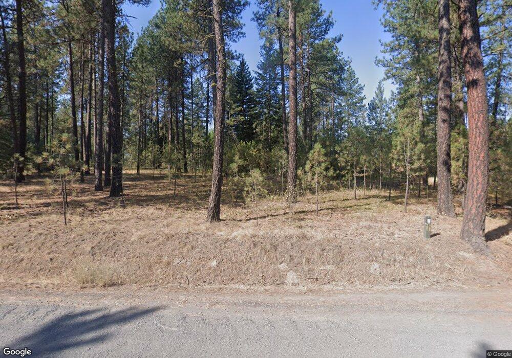
4107 N Gordon Rd Spokane, WA 99224
Estimated Value: $539,000 - $663,018
3
Beds
2
Baths
2,369
Sq Ft
$256/Sq Ft
Est. Value
About This Home
This home is located at 4107 N Gordon Rd, Spokane, WA 99224 and is currently estimated at $606,339, approximately $255 per square foot. 4107 N Gordon Rd is a home with nearby schools including Reardan Elementary & Middle School and Reardan Middle-Senior High School.
Ownership History
Date
Name
Owned For
Owner Type
Purchase Details
Closed on
Apr 25, 2015
Sold by
Smick John J and Smick Carol J
Bought by
Thomas Jerry W and Thomas Crystal S
Current Estimated Value
Purchase Details
Closed on
Jun 20, 1977
Sold by
Smiley Francis R and Smiley Lillie M
Bought by
Thomas Jerry W and Thomas Crystal S
Create a Home Valuation Report for This Property
The Home Valuation Report is an in-depth analysis detailing your home's value as well as a comparison with similar homes in the area
Home Values in the Area
Average Home Value in this Area
Purchase History
| Date | Buyer | Sale Price | Title Company |
|---|---|---|---|
| Thomas Jerry W | -- | Transamerica Title Ins Co | |
| Thomas Jerry W | -- | First American Title Ins Co |
Source: Public Records
Tax History Compared to Growth
Tax History
| Year | Tax Paid | Tax Assessment Tax Assessment Total Assessment is a certain percentage of the fair market value that is determined by local assessors to be the total taxable value of land and additions on the property. | Land | Improvement |
|---|---|---|---|---|
| 2025 | $1,600 | $637,580 | $188,480 | $449,100 |
| 2024 | $1,600 | $612,180 | $188,480 | $423,700 |
| 2023 | $1,212 | $543,880 | $180,480 | $363,400 |
| 2022 | $4,220 | $536,800 | $160,000 | $376,800 |
| 2021 | $3,728 | $348,040 | $73,440 | $274,600 |
| 2020 | $3,550 | $325,240 | $73,440 | $251,800 |
| 2019 | $2,830 | $274,490 | $60,290 | $214,200 |
| 2018 | $3,113 | $257,790 | $57,290 | $200,500 |
| 2017 | $2,874 | $247,590 | $57,290 | $190,300 |
| 2016 | $2,550 | $240,390 | $57,290 | $183,100 |
| 2015 | $2,559 | $233,340 | $57,840 | $175,500 |
| 2014 | -- | $229,540 | $57,840 | $171,700 |
| 2013 | -- | $0 | $0 | $0 |
Source: Public Records
Map
Nearby Homes
- ANK N Gordon Rd
- NKA N Gordon Rd
- 2311 N Fairchild Ln
- 2201 N Craig Rd Unit Lot 260
- 2201 N Craig Rd Unit Lot 131
- 2201 N Craig Rd Unit Lot 213
- TBD W Craig Rd
- 00XX N Rambo Lot 4 Rd Unit Lot 4
- 00XX W Deno Lot 3 Rd Unit Lot 3
- 14410 W Jacobs Rd
- 00XX N Rambo Lot 5 Rd Unit Lot 5
- 5910 N Garfield Rd
- 00XX Rambo Lot A Rd Unit Lot A
- 1318 N Fairchild Dr
- 7411 N Rambo Rd
- XXX Unknown Rd
- 60XX N Garfield Rd
- 4xx N Dover Rd
- 60 xx N Garfield Rd
- 21322 W Jacobs Rd
- 15721 W Euclid Rd
- 15615 W Euclid Rd
- 0 Gordon #2
- 4303 N Gordon Rd
- 4228 N Gordon Rd
- 15911 W Euclid Rd
- 15311 W Euclid Rd
- 4415 N Gordon Rd
- 3625 N Rambo Rd
- 4027 N Rambo Ct
- 4509 N Gordon Rd
- 4412 N Gordon Rd
- 15208 W Euclid Rd
- xxx N Rambo Rd
- 5XXX N Rambo Rd
- 0 TBD N Rambo Road & W Craig Road Rd
- 3515 N Rambo Rd
- 15115 W Euclid Rd
- 16213 W Euclid Rd
- 7200 N Rambo Rd
