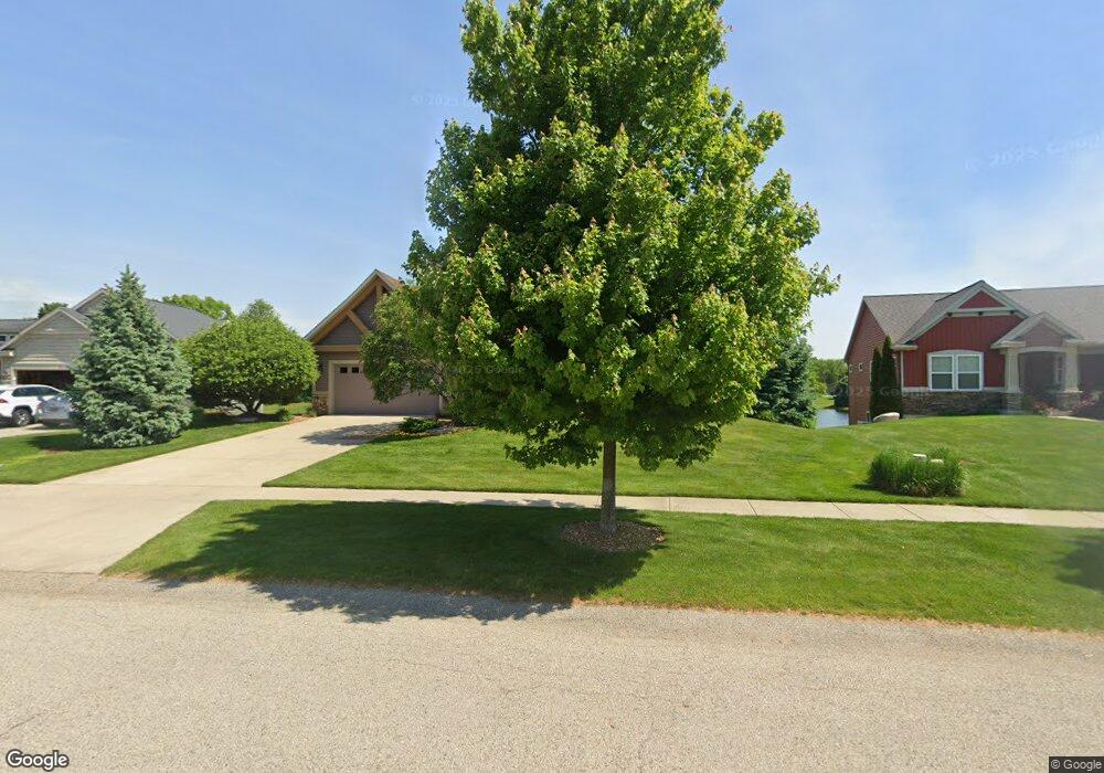
4107 Unity Dr Hudsonville, MI 49426
Estimated Value: $394,845 - $557,000
4
Beds
3
Baths
1,695
Sq Ft
$282/Sq Ft
Est. Value
About This Home
This home is located at 4107 Unity Dr, Hudsonville, MI 49426 and is currently estimated at $477,961, approximately $281 per square foot. 4107 Unity Dr is a home located in Ottawa County with nearby schools including Park Elementary School, Hudsonville High School, and Hudsonville Christian School.
Ownership History
Date
Name
Owned For
Owner Type
Purchase Details
Closed on
Nov 20, 2006
Sold by
Karwowski James L and Karwowski Cynthia S
Bought by
James L & Cynthia S Karwowski Trust
Current Estimated Value
Purchase Details
Closed on
Jun 14, 2006
Sold by
Koetje Builders & Developers Llc
Bought by
Karwowski James L and Karwowski Cynthia S
Home Financials for this Owner
Home Financials are based on the most recent Mortgage that was taken out on this home.
Original Mortgage
$291,881
Outstanding Balance
$168,511
Interest Rate
6.25%
Mortgage Type
Construction
Estimated Equity
$309,450
Create a Home Valuation Report for This Property
The Home Valuation Report is an in-depth analysis detailing your home's value as well as a comparison with similar homes in the area
Home Values in the Area
Average Home Value in this Area
Purchase History
| Date | Buyer | Sale Price | Title Company |
|---|---|---|---|
| James L & Cynthia S Karwowski Trust | -- | None Available | |
| Karwowski James L | $70,900 | Fatic |
Source: Public Records
Mortgage History
| Date | Status | Borrower | Loan Amount |
|---|---|---|---|
| Open | Karwowski James L | $291,881 |
Source: Public Records
Tax History
| Year | Tax Paid | Tax Assessment Tax Assessment Total Assessment is a certain percentage of the fair market value that is determined by local assessors to be the total taxable value of land and additions on the property. | Land | Improvement |
|---|---|---|---|---|
| 2025 | $3,255 | $180,100 | $0 | $0 |
| 2024 | $31 | $186,000 | $0 | $0 |
| 2023 | $2,988 | $168,700 | $0 | $0 |
| 2022 | $3,284 | $160,500 | $0 | $0 |
| 2021 | $3,191 | $162,700 | $0 | $0 |
| 2020 | $3,158 | $152,000 | $0 | $0 |
| 2019 | $3,162 | $140,000 | $0 | $0 |
| 2018 | $2,948 | $139,700 | $0 | $0 |
| 2017 | $2,894 | $137,600 | $0 | $0 |
| 2016 | $2,878 | $129,600 | $0 | $0 |
| 2015 | $2,746 | $125,000 | $0 | $0 |
| 2014 | $2,746 | $107,900 | $0 | $0 |
Source: Public Records
Map
Nearby Homes
- 4120 Cottage Trail
- 4918 40th Ave
- 3985 Van Buren St
- 3621 Barker St
- 5370 36th Ave Unit 12
- 3516 Barker St
- 4893 Shadow Creek Dr
- 4897 Shadow Creek Dr
- 3486 Oak St
- 4760 Crescent Dr Unit 31
- 5054 Cedar Ct Unit 38
- 3140 N Bluff Ct
- 5290 Southbrook Ct Unit 46
- 3970 Brookfield Dr
- 6323 Brookfield Ct
- 4964 Laurelwood Dr
- 3857 Winsome Dr
- 6356 Apio Lake Dr
- 3751 Teton Dr
- 4126 Nancy St
Your Personal Tour Guide
Ask me questions while you tour the home.