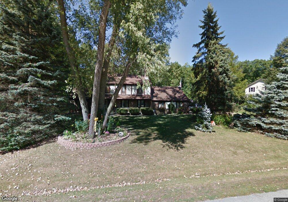
4108 Maplecrest Dr Franklin, WI 53132
Estimated Value: $436,000 - $513,000
4
Beds
2
Baths
2,056
Sq Ft
$228/Sq Ft
Est. Value
About This Home
This home is located at 4108 Maplecrest Dr, Franklin, WI 53132 and is currently estimated at $468,282, approximately $227 per square foot. 4108 Maplecrest Dr is a home located in Milwaukee County with nearby schools including Southwood Glen Elementary School, Forest Park Middle School, and Franklin High School.
Ownership History
Date
Name
Owned For
Owner Type
Purchase Details
Closed on
Jun 21, 2000
Sold by
Crosara Scott T
Bought by
Suttner Loretta L and Suttner Michael D
Current Estimated Value
Home Financials for this Owner
Home Financials are based on the most recent Mortgage that was taken out on this home.
Original Mortgage
$135,000
Outstanding Balance
$49,083
Interest Rate
8.66%
Estimated Equity
$419,199
Purchase Details
Closed on
Jun 17, 1998
Sold by
Crosara Scott T
Bought by
Crosara Scott T
Create a Home Valuation Report for This Property
The Home Valuation Report is an in-depth analysis detailing your home's value as well as a comparison with similar homes in the area
Home Values in the Area
Average Home Value in this Area
Purchase History
| Date | Buyer | Sale Price | Title Company |
|---|---|---|---|
| Suttner Loretta L | $170,000 | -- | |
| Crosara Scott T | -- | -- |
Source: Public Records
Mortgage History
| Date | Status | Borrower | Loan Amount |
|---|---|---|---|
| Open | Suttner Loretta L | $135,000 | |
| Closed | Suttner Loretta L | $9,500 |
Source: Public Records
Tax History
| Year | Tax Paid | Tax Assessment Tax Assessment Total Assessment is a certain percentage of the fair market value that is determined by local assessors to be the total taxable value of land and additions on the property. | Land | Improvement |
|---|---|---|---|---|
| 2024 | $3,286 | -- | -- | -- |
| 2023 | $5,814 | $370,400 | $64,700 | $305,700 |
| 2022 | $5,850 | $305,600 | $64,700 | $240,900 |
| 2021 | $6,445 | $283,600 | $60,400 | $223,200 |
| 2020 | $5,840 | $0 | $0 | $0 |
| 2019 | $6,000 | $249,000 | $60,400 | $188,600 |
| 2018 | $5,779 | $0 | $0 | $0 |
| 2017 | $6,794 | $267,900 | $60,400 | $207,500 |
| 2015 | -- | $220,200 | $56,000 | $164,200 |
| 2013 | -- | $220,200 | $56,000 | $164,200 |
Source: Public Records
Map
Nearby Homes
- 4007 W Southland Dr
- 4732 W Woodward Dr
- 4707 W Jenna Ct
- 9370 S 46th St
- PCL3 S 29th St
- 8920 S 27th St
- 8648 S Roxbury Way Unit 202
- 8526 S Bedford Way Unit 20205
- 9239 S 54th St
- 2241 W Grays Ln
- 2252 W Vista Bella Dr Unit 101
- 2245 W Vista Bella Dr Unit 201
- 9405 S Cobblestone Way Unit A
- 2707 W Puetz Rd
- 3053 W Drexel Ave Unit 110
- 9815 S 31st St
- 6435 W River Pointe Dr
- 7710 S 51st St Unit 105
- 1990 W Ridgeview Dr
- 3140 W Drexel Ave
- 4109 Maplecrest Dr
- 4141 Maplecrest Dr
- 4022 Maplecrest Dr
- 4120 Maplecrest Dr
- 4141 W Maplecrest Dr
- 4021 Maplecrest Dr
- 4021 W Maplecrest Dr
- 4000 Maplecrest Dr
- 8821 S 42nd St
- 8809 S 42nd St
- 8831 S 42nd St
- 4108 W Glenwood Dr
- 8851 S 42nd St
- 4022 W Glenwood Dr
- 4130 W Glenwood Dr
- 4021 W Glenwood Dr
- 4001 Maplecrest Dr
- 8871 S 42nd St
- 4000 W Glenwood Dr
- 4001 W Glenwood Dr
Your Personal Tour Guide
Ask me questions while you tour the home.