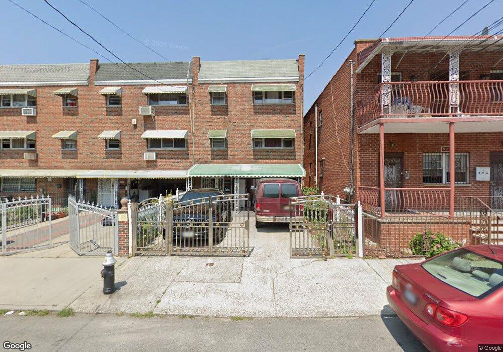
4109 Barnes Ave Bronx, NY 10466
Wakefield NeighborhoodEstimated Value: $726,125 - $1,027,000
Studio
--
Bath
2,768
Sq Ft
$309/Sq Ft
Est. Value
About This Home
This home is located at 4109 Barnes Ave, Bronx, NY 10466 and is currently estimated at $856,531, approximately $309 per square foot. 4109 Barnes Ave is a home located in Bronx County with nearby schools including Ps 21 Philip H Sheridan, North Bronx School of Empowerment, and Bronx Charter School For Excellence 3.
Ownership History
Date
Name
Owned For
Owner Type
Purchase Details
Closed on
Oct 27, 2005
Sold by
Estate Of August Sims
Bought by
Curtis Dorothy E and Curtis James Edward
Current Estimated Value
Home Financials for this Owner
Home Financials are based on the most recent Mortgage that was taken out on this home.
Original Mortgage
$474,650
Outstanding Balance
$262,131
Interest Rate
6.17%
Mortgage Type
Purchase Money Mortgage
Estimated Equity
$594,400
Create a Home Valuation Report for This Property
The Home Valuation Report is an in-depth analysis detailing your home's value as well as a comparison with similar homes in the area
Home Values in the Area
Average Home Value in this Area
Purchase History
| Date | Buyer | Sale Price | Title Company |
|---|---|---|---|
| Curtis Dorothy E | $480,000 | -- |
Source: Public Records
Mortgage History
| Date | Status | Borrower | Loan Amount |
|---|---|---|---|
| Open | Curtis Dorothy E | $474,650 |
Source: Public Records
Tax History
| Year | Tax Paid | Tax Assessment Tax Assessment Total Assessment is a certain percentage of the fair market value that is determined by local assessors to be the total taxable value of land and additions on the property. | Land | Improvement |
|---|---|---|---|---|
| 2025 | $7,826 | $41,304 | $7,554 | $33,750 |
| 2024 | $7,826 | $38,966 | $8,488 | $30,478 |
| 2023 | $7,579 | $37,320 | $7,069 | $30,251 |
| 2022 | $7,029 | $47,340 | $9,240 | $38,100 |
| 2021 | $7,410 | $42,360 | $9,240 | $33,120 |
| 2020 | $7,286 | $39,780 | $9,240 | $30,540 |
| 2019 | $6,793 | $38,520 | $9,240 | $29,280 |
| 2018 | $6,340 | $31,100 | $8,373 | $22,727 |
| 2017 | $5,981 | $29,340 | $9,240 | $20,100 |
| 2016 | $5,913 | $29,580 | $9,240 | $20,340 |
| 2015 | $3,866 | $28,683 | $9,168 | $19,515 |
| 2014 | $3,866 | $27,060 | $10,260 | $16,800 |
Source: Public Records
Map
Nearby Homes
- 738 E 229th St
- 745 E 231st St Unit 3F
- 825 E 230th St
- 745 E 231 St Unit 6A
- 745 E 231 St Unit 1F
- 833 E 229th St
- 740 E 232nd St Unit 6G
- 740 E 232nd St Unit 6H
- 740 E 232nd St Unit TD
- 740 E 232 St Unit TB
- 836 E 229th St
- 730 E 232nd St Unit 3G
- 761 E 232nd St
- 741 E 227th St
- 839 E 228th St
- 854 E 229th St
- 849 E 232nd St
- 717 E 226th St
- 667 E 230th St
- 841 E 226th St
- 4107 Barnes Ave
- 4113 Barnes Ave
- 4105 Barnes Ave
- 4103 Barnes Ave
- 771 E 229th St
- 4115 Barnes Ave
- 4101 Barnes Ave
- 769 E 229th St
- 766 E 230th St
- 767 E 229th St
- 4119 Barnes Ave
- 4119 Barnes Ave Unit 3
- 4119 Barnes Ave
- 4119 Barnes Ave Unit 2 F
- 765 E 229th St
- 758 E 230th St
- 763 E 229th St
- 763 E 229th St
- 763 E 229th St
- 4108 Barnes Ave
Your Personal Tour Guide
Ask me questions while you tour the home.