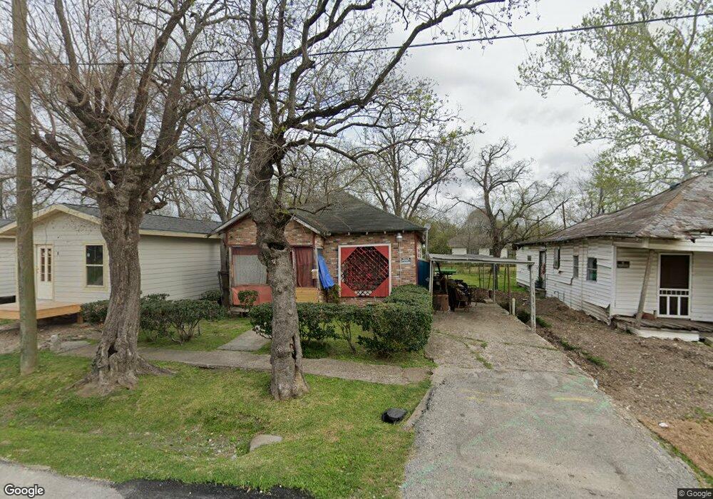
4109 Oats St Houston, TX 77020
Estimated Value: $182,884 - $333,000
3
Beds
1
Bath
1,702
Sq Ft
$147/Sq Ft
Est. Value
About This Home
This home is located at 4109 Oats St, Houston, TX 77020 and is currently estimated at $250,221, approximately $147 per square foot. 4109 Oats St is a home located in Harris County with nearby schools including Atherton Elementary School, Fleming Middle School, and Wheatley High School.
Ownership History
Date
Name
Owned For
Owner Type
Purchase Details
Closed on
Oct 12, 2013
Sold by
Mcgowen Cassandra Elaine
Bought by
Mcgowen Sophia E
Current Estimated Value
Purchase Details
Closed on
Mar 23, 2011
Sold by
Mcgowen Sophia
Bought by
Mcgowen Cassandra
Purchase Details
Closed on
Apr 30, 1999
Sold by
David Powers Homes Wo Ltd
Bought by
Ivy Phyllis M
Home Financials for this Owner
Home Financials are based on the most recent Mortgage that was taken out on this home.
Original Mortgage
$229,900
Interest Rate
7.07%
Create a Home Valuation Report for This Property
The Home Valuation Report is an in-depth analysis detailing your home's value as well as a comparison with similar homes in the area
Home Values in the Area
Average Home Value in this Area
Purchase History
| Date | Buyer | Sale Price | Title Company |
|---|---|---|---|
| Mcgowen Sophia E | -- | None Available | |
| Mcgowen Cassandra | -- | None Available | |
| Ivy Phyllis M | -- | Stewart Title |
Source: Public Records
Mortgage History
| Date | Status | Borrower | Loan Amount |
|---|---|---|---|
| Previous Owner | Ivy Phyllis M | $229,900 |
Source: Public Records
Tax History Compared to Growth
Tax History
| Year | Tax Paid | Tax Assessment Tax Assessment Total Assessment is a certain percentage of the fair market value that is determined by local assessors to be the total taxable value of land and additions on the property. | Land | Improvement |
|---|---|---|---|---|
| 2025 | $639 | $143,495 | $90,839 | $52,656 |
| 2024 | $639 | $143,495 | $90,839 | $52,656 |
| 2023 | $639 | $143,495 | $90,839 | $52,656 |
| 2022 | $1,184 | $126,482 | $78,887 | $47,595 |
| 2021 | $1,140 | $97,287 | $53,787 | $43,500 |
| 2020 | $1,077 | $69,255 | $40,639 | $28,616 |
| 2019 | $1,023 | $61,155 | $40,639 | $20,516 |
| 2018 | $445 | $48,164 | $29,882 | $18,282 |
| 2017 | $845 | $43,370 | $26,296 | $17,074 |
| 2016 | $768 | $36,234 | $21,515 | $14,719 |
| 2015 | $389 | $27,607 | $15,061 | $12,546 |
| 2014 | $389 | $27,607 | $15,061 | $12,546 |
Source: Public Records
Map
Nearby Homes
- 1805 Saint Elmo St
- 4009 New Orleans St Unit A
- 4009 New Orleans St Unit A/B
- 4201 Hershe St
- 4201 Oats St Unit C
- 4201 Oats St Unit B
- 4417 New Orleans St
- 1711 Benson St
- 4314 Rawley St
- 1501 Featherstone St
- 4108 Farmer St
- 4110 Farmer St
- 1811 Pannell St Unit C
- 3907 Sumpter St
- 4403 New Orleans St
- 2004 Worms St
- 3922 Farmer St
- 4407 Oats St
- 2005 Worms St
- 4409 Rawley St
- 4111 Oats St
- 1804 Benson St
- 4101 Oats St
- 00 Oats St
- 0 Oats St
- 1806 Benson St
- 0 Saint Elmo St
- 1809 Saint Elmo St
- 1720 Benson St
- 1811 Saint Elmo St
- 1810 Benson St
- 1718 Benson St
- 1819 Saint Elmo St
- 1714 Benson St
- 1812 Benson St
- 1719 Benson St
- 1719 Benson St Unit 4
- 4201 Oats St
- 1805 Benson St
- 1801 Benson St