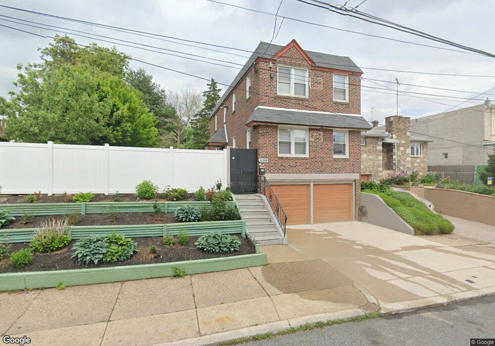
4109 Unruh Ave Philadelphia, PA 19135
Tacony NeighborhoodEstimated Value: $308,000 - $410,651
--
Bed
1
Bath
1,710
Sq Ft
$213/Sq Ft
Est. Value
About This Home
This home is located at 4109 Unruh Ave, Philadelphia, PA 19135 and is currently estimated at $364,217, approximately $212 per square foot. 4109 Unruh Ave is a home located in Philadelphia County with nearby schools including Lincoln High School, Disston Hamilton School, and Keystone Academy Charter School.
Ownership History
Date
Name
Owned For
Owner Type
Purchase Details
Closed on
Apr 28, 2008
Sold by
Greenwood Dianne and Dipersico Brenda
Bought by
Ranson Wayne
Current Estimated Value
Home Financials for this Owner
Home Financials are based on the most recent Mortgage that was taken out on this home.
Original Mortgage
$186,427
Outstanding Balance
$118,248
Interest Rate
5.91%
Mortgage Type
FHA
Estimated Equity
$245,969
Create a Home Valuation Report for This Property
The Home Valuation Report is an in-depth analysis detailing your home's value as well as a comparison with similar homes in the area
Home Values in the Area
Average Home Value in this Area
Purchase History
| Date | Buyer | Sale Price | Title Company |
|---|---|---|---|
| Ranson Wayne | $187,900 | First Title |
Source: Public Records
Mortgage History
| Date | Status | Borrower | Loan Amount |
|---|---|---|---|
| Open | Ranson Wayne | $186,427 |
Source: Public Records
Tax History Compared to Growth
Tax History
| Year | Tax Paid | Tax Assessment Tax Assessment Total Assessment is a certain percentage of the fair market value that is determined by local assessors to be the total taxable value of land and additions on the property. | Land | Improvement |
|---|---|---|---|---|
| 2025 | $3,388 | $319,000 | $63,800 | $255,200 |
| 2024 | $3,388 | $319,000 | $63,800 | $255,200 |
| 2023 | $3,388 | $242,000 | $48,400 | $193,600 |
| 2022 | $1,788 | $197,000 | $48,400 | $148,600 |
| 2021 | $2,417 | $0 | $0 | $0 |
| 2020 | $2,417 | $0 | $0 | $0 |
| 2019 | $2,319 | $0 | $0 | $0 |
| 2018 | $2,186 | $0 | $0 | $0 |
| 2017 | $2,186 | $0 | $0 | $0 |
| 2016 | $1,767 | $0 | $0 | $0 |
| 2015 | $1,691 | $0 | $0 | $0 |
| 2014 | -- | $156,200 | $53,662 | $102,538 |
| 2012 | -- | $17,280 | $1,326 | $15,954 |
Source: Public Records
Map
Nearby Homes
- 6650 Erdrick St
- 6631 Erdrick St
- 4917 Charles St
- 6600 Erdrick St
- 6601 Montague St
- 4100 Knorr Ct Unit J
- 4100 Knorr Ct Unit C
- 4209 Greeby St
- 4112 Gilham St
- 4107 Greeby St
- 4016 Gilham St
- 6606 Algard St
- 6525 Walker St
- 4019 Hellerman St
- 4805 11 Rawle St
- 6608 Cottage St
- 6530 Algard St
- 3228 Magee Ave
- 4137 Passmore St
- 4230 Hellerman St
- 4121 Unruh Ave
- 4125 Unruh Ave
- 4103 Unruh Ave Unit 5
- 4101 Unruh Ave
- 6707 Charles St
- 4104 Unruh Ave
- 6709 Charles St
- 4114 Unruh Ave
- 4116 Unruh Ave
- 4108 Unruh Ave
- 6658 Tackawanna St
- 4029 Unruh Ave
- 4120 Unruh Ave
- 4102 Unruh Ave
- 6656 Tackawanna St
- 4100 Unruh Ave
- 4027 Unruh Ave
- 6654 Tackawanna St
- 6711 Charles St
- 6652 Tackawanna St