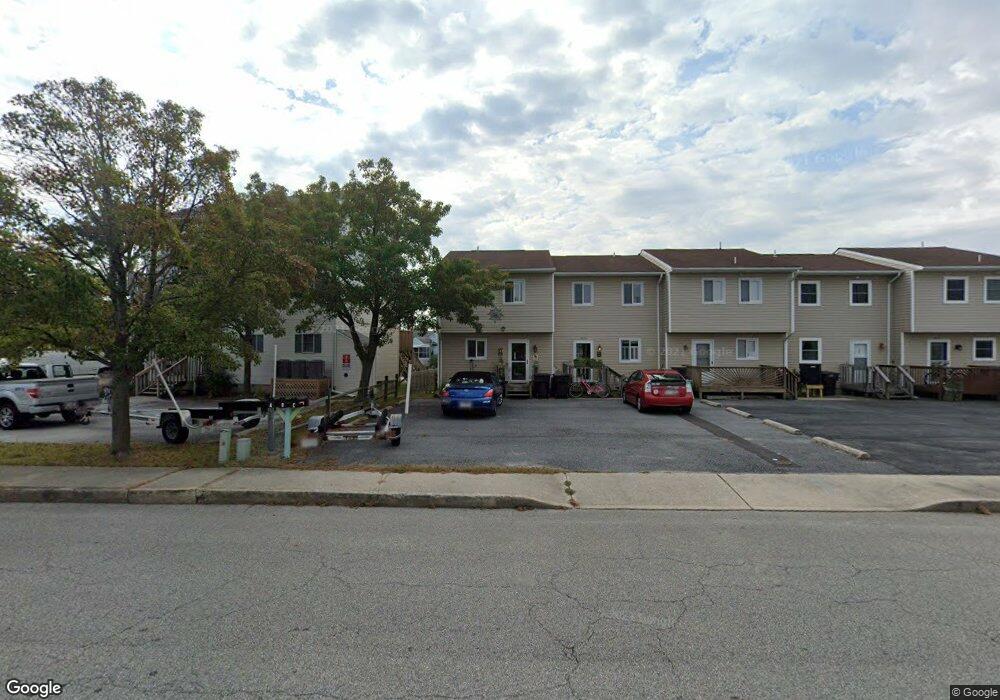
411 136th St Unit B Ocean City, MD 21842
Estimated Value: $292,000 - $413,000
--
Bed
2
Baths
1,080
Sq Ft
$342/Sq Ft
Est. Value
About This Home
This home is located at 411 136th St Unit B, Ocean City, MD 21842 and is currently estimated at $368,949, approximately $341 per square foot. 411 136th St Unit B is a home located in Worcester County with nearby schools including Ocean City Elementary School, Stephen Decatur Middle School, and Berlin Intermediate School.
Ownership History
Date
Name
Owned For
Owner Type
Purchase Details
Closed on
Nov 21, 2023
Sold by
Peterson-Snyder Joint Revocable Trust
Bought by
Worrall Joan K
Current Estimated Value
Home Financials for this Owner
Home Financials are based on the most recent Mortgage that was taken out on this home.
Original Mortgage
$200,000
Outstanding Balance
$170,390
Interest Rate
5%
Mortgage Type
Seller Take Back
Estimated Equity
$198,559
Purchase Details
Closed on
Nov 23, 1982
Sold by
D R Anderson & Associates Inc
Bought by
Peterson Lynne E
Home Financials for this Owner
Home Financials are based on the most recent Mortgage that was taken out on this home.
Original Mortgage
$51,000
Interest Rate
13.78%
Create a Home Valuation Report for This Property
The Home Valuation Report is an in-depth analysis detailing your home's value as well as a comparison with similar homes in the area
Home Values in the Area
Average Home Value in this Area
Purchase History
| Date | Buyer | Sale Price | Title Company |
|---|---|---|---|
| Worrall Joan K | $340,000 | None Listed On Document | |
| Worrall Joan K | $340,000 | None Listed On Document | |
| Peterson-Snyder Joint Revocable Trust | -- | None Listed On Document | |
| Peterson-Snyder Joint Revocable Trust | -- | None Listed On Document | |
| Peterson Lynne E | $73,500 | -- |
Source: Public Records
Mortgage History
| Date | Status | Borrower | Loan Amount |
|---|---|---|---|
| Open | Peterson-Snyder Joint Revocable Trust | $200,000 | |
| Closed | Peterson-Snyder Joint Revocable Trust | $200,000 | |
| Previous Owner | Peterson Lynne E | $51,000 |
Source: Public Records
Tax History Compared to Growth
Tax History
| Year | Tax Paid | Tax Assessment Tax Assessment Total Assessment is a certain percentage of the fair market value that is determined by local assessors to be the total taxable value of land and additions on the property. | Land | Improvement |
|---|---|---|---|---|
| 2025 | $3,549 | $281,867 | $0 | $0 |
| 2024 | $3,535 | $253,333 | $0 | $0 |
| 2023 | $3,159 | $224,800 | $135,000 | $89,800 |
| 2022 | $3,080 | $219,133 | $0 | $0 |
| 2021 | $3,017 | $213,467 | $0 | $0 |
| 2020 | $2,936 | $207,800 | $135,000 | $72,800 |
| 2019 | $2,900 | $203,833 | $0 | $0 |
| 2018 | $2,815 | $199,867 | $0 | $0 |
| 2017 | $2,767 | $195,900 | $0 | $0 |
| 2016 | $2,693 | $184,167 | $0 | $0 |
| 2015 | $3,525 | $172,433 | $0 | $0 |
| 2014 | $3,525 | $160,700 | $0 | $0 |
Source: Public Records
Map
Nearby Homes
- 13605 Sand Dune Rd Unit 18
- 13519 Holly Ln
- 13517 Holly Ln
- 13329 Nantucket Rd
- 13322 Peachtree Rd
- 13603 Sand Dune Rd Unit 12
- 13324 Nantucket Rd
- 13334 Colonial Rd
- 13318 Peachtree Rd
- 505 S Surf Rd
- 13318 Colonial Rd
- 13801 Barge Rd
- 13306 Colonial Rd
- 13301 Colonial Rd
- 13800 N Ocean Rd Unit D
- 304 138th St
- 13321 Atlantic Blvd
- 118 134th St
- 705 Gulf Stream Dr
- 712 Gulf Stream Dr
- 411 136th St Unit 411E
- 411 136th St Unit A
- 411 136th St Unit D
- 411 136th St Unit C
- 411 136th St Unit E
- 415 136th St
- 407 136th St
- 407 136th St Unit B
- 407 136th St
- 501-B 136th St
- 501 136th St Unit B 028b
- 501 136th St Unit B
- 501 136th St Unit A
- 405B 136th St
- 13605 Sand Dune Rd Unit 4
- 13605 Sand Dune Rd
- 13605 Sand Dune Rd
- 13605 Sand Dune Rd
- 13605 Sand Dune Rd
- 13605 Sand Dune Rd