411 B and B Rd N Statesboro, GA 30461
Estimated Value: $397,000 - $449,000
3
Beds
3
Baths
2,747
Sq Ft
$153/Sq Ft
Est. Value
About This Home
This home is located at 411 B and B Rd N, Statesboro, GA 30461 and is currently estimated at $419,540, approximately $152 per square foot. 411 B and B Rd N is a home located in Bulloch County with nearby schools including Portal Elementary School and Portal Middle/High School.
Ownership History
Date
Name
Owned For
Owner Type
Purchase Details
Closed on
Apr 1, 2002
Bought by
Lanier Joey Neil and Lanier April H
Current Estimated Value
Purchase Details
Closed on
Mar 1, 2002
Bought by
Lanier Joey Neil
Create a Home Valuation Report for This Property
The Home Valuation Report is an in-depth analysis detailing your home's value as well as a comparison with similar homes in the area
Home Values in the Area
Average Home Value in this Area
Purchase History
| Date | Buyer | Sale Price | Title Company |
|---|---|---|---|
| Lanier Joey Neil | -- | -- | |
| Lanier Joey Neil | -- | -- |
Source: Public Records
Tax History Compared to Growth
Tax History
| Year | Tax Paid | Tax Assessment Tax Assessment Total Assessment is a certain percentage of the fair market value that is determined by local assessors to be the total taxable value of land and additions on the property. | Land | Improvement |
|---|---|---|---|---|
| 2024 | $3,187 | $145,008 | $7,680 | $137,328 |
| 2023 | $2,890 | $120,788 | $5,040 | $115,748 |
| 2022 | $2,194 | $103,662 | $4,202 | $99,460 |
| 2021 | $1,925 | $88,958 | $4,202 | $84,756 |
| 2020 | $1,877 | $84,623 | $3,502 | $81,121 |
| 2019 | $1,892 | $84,838 | $3,502 | $81,336 |
| 2018 | $1,751 | $80,020 | $2,918 | $77,102 |
| 2017 | $1,727 | $78,022 | $2,918 | $75,104 |
| 2016 | $1,697 | $74,728 | $2,918 | $71,810 |
| 2015 | $1,685 | $73,876 | $2,918 | $70,958 |
| 2014 | $1,552 | $73,876 | $2,918 | $70,958 |
Source: Public Records
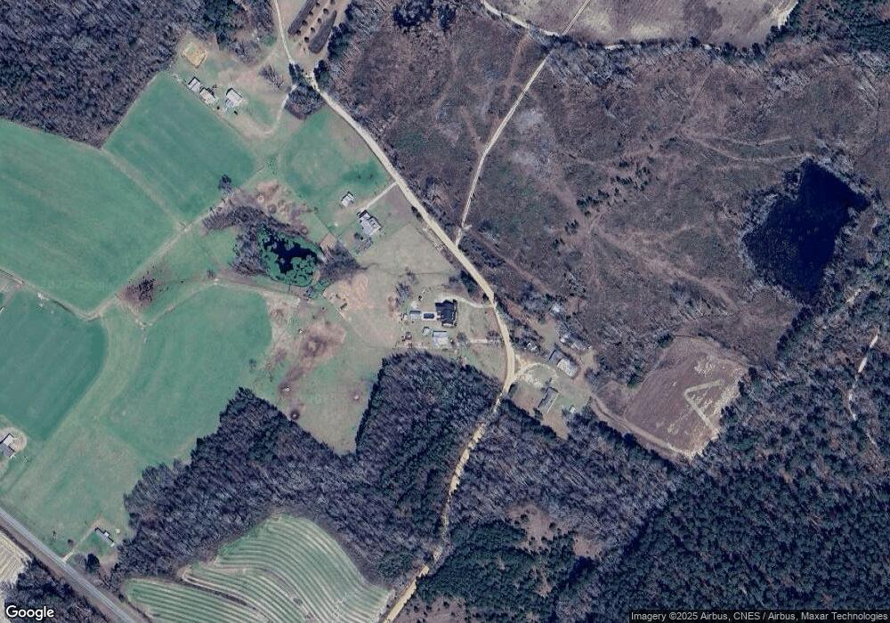
Map
Nearby Homes
- 149 Main St
- 125 Main St
- 0 Ford Rd Unit 10638265
- 0 Two Chop Rd
- 208 Oak Grove Ln
- 14.12 ac Middle Ground Rd
- APPRX 218 ACRES Old River Rd N
- APPRX 14 ACRES Old River Rd N
- 3978 Wc Hodges Rd
- 980 Bernard Smith Rd
- 0 Busby Rd Unit 10479601
- 2 Chop Rd
- 3195 Middle Ground Rd
- 1569 Walter McGlamery Rd
- 222 Archer Rd
- 609 Youngblood Rd
- 106 Rutledge Ln
- 0 Middle Ground Rd Unit 10506072
- 439 Dover Rd
- 5555 Carlton Ln
- 15186 Old River Rd N
- 344 B and B Rd N
- 499 B and B Rd N
- 585 B and B Rd N
- 570 B and B Rd N
- 0 Old River Rd N Unit 7471823
- N Old River Rd N
- 0 Old River Rd N
- 15338 Old River Rd N
- 166 B and B Rd S
- 15485 Old River Rd N
- 15698 Old River Rd N
- 15606 Old River Rd N
- 15668 Old River Rd N
- 15756 Old River Rd N
- 14473 Old River Rd N
- 14473 Old River Rd N
- 2139 Nevils Creek Church Rd
- 14391 Old River Rd N