411 Bluegrass Dr Lewisport, KY 42351
Estimated Value: $239,140 - $278,000
3
Beds
2
Baths
1,329
Sq Ft
$192/Sq Ft
Est. Value
About This Home
This home is located at 411 Bluegrass Dr, Lewisport, KY 42351 and is currently estimated at $255,535, approximately $192 per square foot. 411 Bluegrass Dr is a home located in Hancock County with nearby schools including Hancock County Middle School and Hancock County High School.
Ownership History
Date
Name
Owned For
Owner Type
Purchase Details
Closed on
Jan 18, 2019
Sold by
Jagoe Guaranteed Trade Llc
Bought by
Duncan Abigail M
Current Estimated Value
Home Financials for this Owner
Home Financials are based on the most recent Mortgage that was taken out on this home.
Original Mortgage
$132,000
Outstanding Balance
$119,314
Interest Rate
6.1%
Mortgage Type
New Conventional
Estimated Equity
$136,222
Purchase Details
Closed on
Jun 9, 2014
Bought by
Young Drew Alan
Create a Home Valuation Report for This Property
The Home Valuation Report is an in-depth analysis detailing your home's value as well as a comparison with similar homes in the area
Home Values in the Area
Average Home Value in this Area
Purchase History
| Date | Buyer | Sale Price | Title Company |
|---|---|---|---|
| Duncan Abigail M | $165,000 | Attorney Only | |
| Young Drew Alan | -- | -- |
Source: Public Records
Mortgage History
| Date | Status | Borrower | Loan Amount |
|---|---|---|---|
| Open | Duncan Abigail M | $132,000 |
Source: Public Records
Tax History Compared to Growth
Tax History
| Year | Tax Paid | Tax Assessment Tax Assessment Total Assessment is a certain percentage of the fair market value that is determined by local assessors to be the total taxable value of land and additions on the property. | Land | Improvement |
|---|---|---|---|---|
| 2024 | $1,712 | $165,000 | $0 | $0 |
| 2023 | $1,732 | $165,000 | $0 | $0 |
| 2022 | $1,718 | $165,000 | $0 | $0 |
| 2021 | $1,728 | $165,000 | $0 | $0 |
| 2020 | $1,667 | $165,000 | $0 | $0 |
| 2019 | $1,501 | $148,500 | $0 | $0 |
| 2018 | $1,097 | $113,000 | $0 | $0 |
| 2017 | $1,102 | $113,000 | $0 | $0 |
| 2016 | $1,061 | $113,000 | $0 | $0 |
| 2015 | $1,013 | $113,000 | $8,000 | $105,000 |
| 2014 | $1,013 | $113,000 | $8,000 | $105,000 |
| 2012 | $1,013 | $113,000 | $8,000 | $105,000 |
Source: Public Records
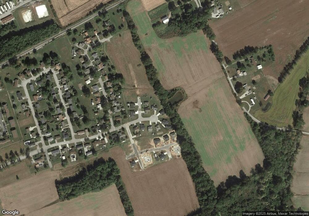
Map
Nearby Homes
- 406 Bluegrass Dr
- 50 Lee Henderson Rd
- 490 High St
- 25 Market St
- 175 Sands Dr
- 1240 Washington Ave
- 1410 Washington Ave
- 1445 Meadowlane Dr
- Lot 1 Hwy 271
- 3973 State Route 657
- Lot 2 Hwy 271
- 6 E Highway 60
- Lot 58 Hickory Ridge Rd
- Lot 56 Hickory Ridge Rd
- Lot 57 Hickory Ridge Rd
- 9585 River Rd
- 2870 Oak Rd
- Lot 3 Abigail Ln
- Lot 4 Abigail Ln
- 330 N Chestnut Grove Rd
- 403 Bluegrass Dr
- 409 Bluegrass Dr
- 408 Bluegrass Dr
- 105 Bob White Way
- 101 Bob White Way
- 402 Bluegrass Dr
- 400 Bluegrass Dr
- 445 Cardinal Dr
- 425 Cardinal Dr
- 405 Bluegrass Dr
- 100 Mockingbird Ln
- 110 Mockingbird Ln
- 398 Bluegrass Dr
- 405 Cardinal Dr
- 130 Mockingbird Ln
- 430 Cardinal Dr
- 140 Mockingbird Ln
- 395 Cardinal Dr
- 390 Bluegrass Dr
- 420 Cardinal Dr