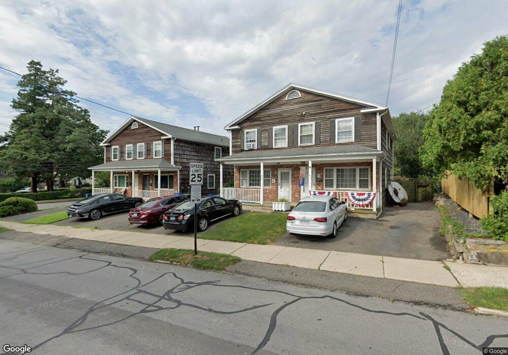
411 Brewster St Bridgeport, CT 06605
Black Rock NeighborhoodEstimated Value: $324,000 - $519,000
3
Beds
2
Baths
1,280
Sq Ft
$330/Sq Ft
Est. Value
About This Home
This home is located at 411 Brewster St, Bridgeport, CT 06605 and is currently estimated at $422,912, approximately $330 per square foot. 411 Brewster St is a home located in Fairfield County with nearby schools including Black Rock School, Bassick High School, and Great Oaks Charter School Bridgeport.
Ownership History
Date
Name
Owned For
Owner Type
Purchase Details
Closed on
Jun 5, 2025
Sold by
Lafleur Pamela M
Bought by
Lafleur Pamela M and Lafleur James
Current Estimated Value
Purchase Details
Closed on
Aug 5, 1993
Sold by
Laska Ronald
Bought by
Smith Pamela
Home Financials for this Owner
Home Financials are based on the most recent Mortgage that was taken out on this home.
Original Mortgage
$85,000
Interest Rate
6.7%
Mortgage Type
Unknown
Create a Home Valuation Report for This Property
The Home Valuation Report is an in-depth analysis detailing your home's value as well as a comparison with similar homes in the area
Home Values in the Area
Average Home Value in this Area
Purchase History
| Date | Buyer | Sale Price | Title Company |
|---|---|---|---|
| Lafleur Pamela M | -- | None Available | |
| Lafleur Pamela M | -- | None Available | |
| Smith Pamela | $85,000 | -- | |
| Smith Pamela | $85,000 | -- |
Source: Public Records
Mortgage History
| Date | Status | Borrower | Loan Amount |
|---|---|---|---|
| Previous Owner | Smith Pamela | $85,000 |
Source: Public Records
Tax History Compared to Growth
Tax History
| Year | Tax Paid | Tax Assessment Tax Assessment Total Assessment is a certain percentage of the fair market value that is determined by local assessors to be the total taxable value of land and additions on the property. | Land | Improvement |
|---|---|---|---|---|
| 2025 | $7,056 | $162,398 | $66,058 | $96,340 |
| 2024 | $7,056 | $162,398 | $66,058 | $96,340 |
| 2023 | $7,056 | $162,398 | $66,058 | $96,340 |
| 2022 | $7,056 | $162,398 | $66,058 | $96,340 |
| 2021 | $7,056 | $162,398 | $66,058 | $96,340 |
| 2020 | $6,332 | $117,280 | $54,250 | $63,030 |
| 2019 | $6,332 | $117,280 | $54,250 | $63,030 |
| 2018 | $6,377 | $117,280 | $54,250 | $63,030 |
| 2017 | $6,377 | $117,280 | $54,250 | $63,030 |
| 2016 | $6,377 | $117,280 | $54,250 | $63,030 |
| 2015 | $5,613 | $133,020 | $47,430 | $85,590 |
| 2014 | $5,613 | $133,020 | $47,430 | $85,590 |
Source: Public Records
Map
Nearby Homes
- 75 Homestead Ave Unit 77
- 317 Brewster St
- 554 Brewster St Unit 4
- 26 Rowsley St Unit 3
- 39 Jetland Place Unit 41
- 37 Rowsley St Unit 6
- 105 Fox St Unit 107
- 165 Bennett St
- 855 Brewster St Unit 857
- 188 Monroe St Unit 190
- 167 Scofield Ave
- 82 Waldorf Ave
- 25 Whittier St
- 31 Whittier St
- 0 Battery Park Dr
- 361 Riverside Dr
- 130 Brentwood Ave
- 118 Berwick Ave
- 145 Brentwood Ave
- 2180 Kings Hwy Unit 1
- 401 Brewster St
- 427 Brewster St
- 26 Woodland Ave
- 399 Brewster St
- 28 Woodland Ave
- 404 Brewster St
- 394 Brewster St
- 38 Woodland Ave
- 385 Brewster St
- 414 Brewster St
- 44 Woodland Ave
- 590 Brewster St Unit 6
- 590 Brewster St Unit 5
- 568 Brewster St Unit 3
- 568 Brewster St Unit 2
- 590 Brewster St Unit 3
- 568 Brewster St Unit 6
- 568 Brewster St Unit 4
- 590 Brewster St Unit 4
- 590 Brewster St Unit 1