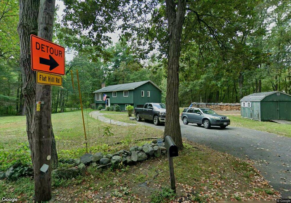
411 Burrage St Lunenburg, MA 01462
Estimated Value: $439,945 - $659,000
3
Beds
1
Bath
1,092
Sq Ft
$476/Sq Ft
Est. Value
About This Home
This home is located at 411 Burrage St, Lunenburg, MA 01462 and is currently estimated at $519,986, approximately $476 per square foot. 411 Burrage St is a home located in Worcester County with nearby schools including Lunenburg Primary School and Lunenburg High School.
Ownership History
Date
Name
Owned For
Owner Type
Purchase Details
Closed on
Jun 28, 1996
Sold by
Puddicombe George R and Puddicombe Gloria
Bought by
Wagner Paul J and Wagner Darlene
Current Estimated Value
Home Financials for this Owner
Home Financials are based on the most recent Mortgage that was taken out on this home.
Original Mortgage
$104,000
Outstanding Balance
$7,392
Interest Rate
8.05%
Mortgage Type
Purchase Money Mortgage
Estimated Equity
$512,594
Create a Home Valuation Report for This Property
The Home Valuation Report is an in-depth analysis detailing your home's value as well as a comparison with similar homes in the area
Home Values in the Area
Average Home Value in this Area
Purchase History
| Date | Buyer | Sale Price | Title Company |
|---|---|---|---|
| Wagner Paul J | $130,000 | -- |
Source: Public Records
Mortgage History
| Date | Status | Borrower | Loan Amount |
|---|---|---|---|
| Open | Wagner Paul J | $104,000 | |
| Previous Owner | Wagner Paul J | $52,000 |
Source: Public Records
Tax History
| Year | Tax Paid | Tax Assessment Tax Assessment Total Assessment is a certain percentage of the fair market value that is determined by local assessors to be the total taxable value of land and additions on the property. | Land | Improvement |
|---|---|---|---|---|
| 2025 | $6,080 | $423,400 | $144,500 | $278,900 |
| 2024 | $5,640 | $400,000 | $136,500 | $263,500 |
| 2023 | $5,459 | $373,400 | $124,000 | $249,400 |
| 2022 | $5,227 | $304,100 | $103,500 | $200,600 |
| 2020 | $5,422 | $299,200 | $103,300 | $195,900 |
| 2019 | $5,372 | $287,600 | $97,400 | $190,200 |
| 2018 | $5,106 | $259,200 | $97,400 | $161,800 |
| 2017 | $4,983 | $249,400 | $92,200 | $157,200 |
| 2016 | $4,655 | $237,400 | $87,700 | $149,700 |
| 2015 | $4,212 | $229,900 | $83,200 | $146,700 |
Source: Public Records
Map
Nearby Homes
- 11 Longwood Dr
- 895 Flat Hill Rd
- 45 Spring St
- 51 Spring St
- 309 Reservoir Rd
- 146 Elmwood Rd
- 53 Little Turnpike Rd
- 12 Johnson St
- 44 Fire Road 12
- 1 Whitney Rd
- 1790 Massachusetts Ave Unit 32
- 1790 Massachusetts Ave Unit 25
- 1790 Massachusetts Ave Unit Lot V
- 90 Arbor St
- 6 Wheeler Rd
- 22 Townsend Rd
- 11 Ambrose Way Unit 11
- 21 Ambrose Way Unit 21
- 14 Ambrose Way Unit 14
- 4 Ambrose Way Unit 4
- 598 Flat Hill Rd
- 398 Burrage St
- 414 Burrage St
- 393 Burrage St
- 607 Flat Hill Rd
- 607 Flat Hill Rd Unit 607
- 590 Flat Hill Rd
- 609 Flat Hill Rd
- 425 Burrage St
- 390 Burrage St
- 381 Burrage St
- 595 Flat Hill Rd
- 644 Flat Hill Rd
- 378 Burrage St
- 586 Flat Hill Rd
- 371 Burrage St
- 654 Flat Hill Rd
- 443 Burrage St
- 568 Flat Hill Rd
- 362 Burrage St
Your Personal Tour Guide
Ask me questions while you tour the home.