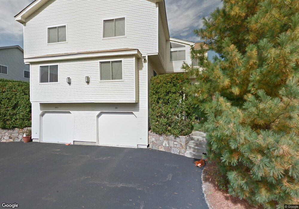
411 Captain Eames Cir Ashland, MA 01721
Estimated Value: $614,000 - $652,000
2
Beds
3
Baths
2,052
Sq Ft
$308/Sq Ft
Est. Value
About This Home
This home is located at 411 Captain Eames Cir, Ashland, MA 01721 and is currently estimated at $632,877, approximately $308 per square foot. 411 Captain Eames Cir is a home located in Middlesex County with nearby schools including William Pittaway Elementary School, Henry E. Warren Elementary School, and David Mindess Elementary School.
Ownership History
Date
Name
Owned For
Owner Type
Purchase Details
Closed on
Jan 30, 2024
Sold by
Tak David and Chan Yin F
Bought by
Mahajan Parakh and Thaokar Ashwini
Current Estimated Value
Home Financials for this Owner
Home Financials are based on the most recent Mortgage that was taken out on this home.
Original Mortgage
$463,200
Outstanding Balance
$452,474
Interest Rate
6.95%
Mortgage Type
Purchase Money Mortgage
Estimated Equity
$180,403
Purchase Details
Closed on
Apr 5, 2016
Sold by
Hutchinson Linda
Bought by
Tak David and Chan Yin F
Home Financials for this Owner
Home Financials are based on the most recent Mortgage that was taken out on this home.
Original Mortgage
$327,750
Interest Rate
3.65%
Mortgage Type
New Conventional
Purchase Details
Closed on
May 25, 2007
Sold by
Curtis Randall and Curtis Liza
Bought by
Hutchinson Linda
Home Financials for this Owner
Home Financials are based on the most recent Mortgage that was taken out on this home.
Original Mortgage
$312,000
Interest Rate
6.27%
Mortgage Type
Purchase Money Mortgage
Purchase Details
Closed on
Jun 10, 2005
Sold by
Kirstein Steven
Bought by
Curtis Liza and Curtis Randall J
Home Financials for this Owner
Home Financials are based on the most recent Mortgage that was taken out on this home.
Original Mortgage
$302,400
Interest Rate
5.79%
Mortgage Type
Purchase Money Mortgage
Create a Home Valuation Report for This Property
The Home Valuation Report is an in-depth analysis detailing your home's value as well as a comparison with similar homes in the area
Home Values in the Area
Average Home Value in this Area
Purchase History
| Date | Buyer | Sale Price | Title Company |
|---|---|---|---|
| Mahajan Parakh | $579,000 | None Available | |
| Tak David | $345,000 | -- | |
| Hutchinson Linda | $367,250 | -- | |
| Curtis Liza | $378,000 | -- |
Source: Public Records
Mortgage History
| Date | Status | Borrower | Loan Amount |
|---|---|---|---|
| Open | Mahajan Parakh | $463,200 | |
| Previous Owner | Tak David | $327,750 | |
| Previous Owner | Hutchinson Linda | $312,000 | |
| Previous Owner | Curtis Liza | $302,400 |
Source: Public Records
Tax History
| Year | Tax Paid | Tax Assessment Tax Assessment Total Assessment is a certain percentage of the fair market value that is determined by local assessors to be the total taxable value of land and additions on the property. | Land | Improvement |
|---|---|---|---|---|
| 2025 | $7,352 | $575,700 | $0 | $575,700 |
| 2024 | $7,188 | $542,900 | $0 | $542,900 |
| 2023 | $6,458 | $469,000 | $0 | $469,000 |
| 2022 | $6,633 | $417,700 | $0 | $417,700 |
| 2021 | $6,360 | $399,229 | $0 | $399,229 |
| 2020 | $6,286 | $389,000 | $0 | $389,000 |
| 2019 | $5,898 | $362,300 | $0 | $362,300 |
| 2018 | $5,642 | $339,700 | $0 | $339,700 |
| 2017 | $5,331 | $319,200 | $0 | $319,200 |
| 2016 | $5,182 | $304,800 | $0 | $304,800 |
| 2015 | $5,237 | $302,738 | $0 | $302,738 |
| 2014 | $5,264 | $302,700 | $0 | $302,700 |
Source: Public Records
Map
Nearby Homes
- 262 Captain Eames Cir
- 102 Captain Eames Cir
- 37 James Rd
- 73 Half Crown Cir
- 196 Algonquin Trail Unit 196
- 20 Mulhall Dr
- 2 Arrowhead Cir Unit 2
- 153 America Blvd Unit 153
- 125 America Blvd
- 4 John Hancock Dr Unit 4
- 437 America Blvd Unit 437
- 431 America Blvd Unit 431
- 72 Fruit St
- 207 Eliot St
- 54 Tri St
- 54 Mountain Gate Rd
- 86 E Bluff Rd
- 111 Leland Farm Rd
- 363 Eliot St
- 73 Trailside Way
- 381 Captain Eames Cir
- 411 Captain Eames Cir
- 411 Captain Eames Cir Unit 411
- 391 Captain Eames Cir
- 421 Captain Eames Cir
- 419 Captain Eames Cir
- 389 Captain Eames Cir
- 389 Captain Eames Cir Unit 389
- 421 Captain Eames Cir Unit 421
- 387 Captain Eames Cir
- 417 Captain Eames Cir
- 445 Captain Eames Cir
- 443 Captain Eames Cir
- 359 Captain Eames Cir
- 361 Captain Eames Cir
- 427 Captain Eames Cir
- 393 Captain Eames Cir
- 427 Captain Eames Cir Unit 427
- 427 Captain Eames Cir Unit B
- 425 Captain Eames Cir
Your Personal Tour Guide
Ask me questions while you tour the home.