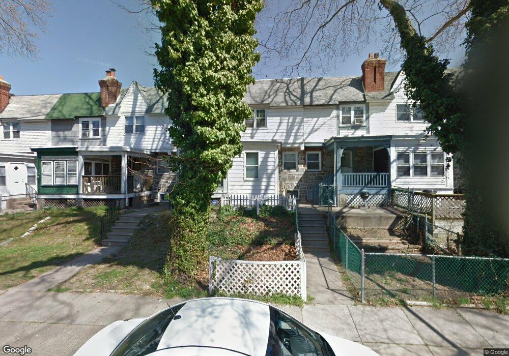
411 Croyden Rd Upper Darby, PA 19082
Estimated Value: $99,000 - $128,000
2
Beds
1
Bath
796
Sq Ft
$140/Sq Ft
Est. Value
About This Home
This home is located at 411 Croyden Rd, Upper Darby, PA 19082 and is currently estimated at $111,191, approximately $139 per square foot. 411 Croyden Rd is a home located in Delaware County with nearby schools including Upper Darby Kdg Center, Upper Darby High School, and KIPP West Philadelphia Preparatory Chart.
Ownership History
Date
Name
Owned For
Owner Type
Purchase Details
Closed on
Apr 16, 2019
Sold by
Carney Roselyn R and Wells Fargo Bank Na
Bought by
1019 West Chester Llc
Current Estimated Value
Purchase Details
Closed on
Jul 8, 2002
Sold by
Dicicco Margaret
Bought by
Carney Roselyn R
Home Financials for this Owner
Home Financials are based on the most recent Mortgage that was taken out on this home.
Original Mortgage
$40,292
Interest Rate
6.73%
Mortgage Type
FHA
Create a Home Valuation Report for This Property
The Home Valuation Report is an in-depth analysis detailing your home's value as well as a comparison with similar homes in the area
Home Values in the Area
Average Home Value in this Area
Purchase History
| Date | Buyer | Sale Price | Title Company |
|---|---|---|---|
| 1019 West Chester Llc | $33,500 | None Available | |
| Carney Roselyn R | $40,200 | Commonwealth Land Title Ins |
Source: Public Records
Mortgage History
| Date | Status | Borrower | Loan Amount |
|---|---|---|---|
| Previous Owner | Carney Roselyn R | $40,292 |
Source: Public Records
Tax History Compared to Growth
Tax History
| Year | Tax Paid | Tax Assessment Tax Assessment Total Assessment is a certain percentage of the fair market value that is determined by local assessors to be the total taxable value of land and additions on the property. | Land | Improvement |
|---|---|---|---|---|
| 2025 | $2,435 | $57,570 | $13,510 | $44,060 |
| 2024 | $2,435 | $57,570 | $13,510 | $44,060 |
| 2023 | $2,412 | $57,570 | $13,510 | $44,060 |
| 2022 | $2,347 | $57,570 | $13,510 | $44,060 |
| 2021 | $3,165 | $57,570 | $13,510 | $44,060 |
| 2020 | $2,491 | $38,510 | $12,280 | $26,230 |
| 2019 | $2,447 | $38,510 | $12,280 | $26,230 |
| 2018 | $2,419 | $38,510 | $0 | $0 |
| 2017 | $2,356 | $38,510 | $0 | $0 |
| 2016 | $211 | $38,510 | $0 | $0 |
| 2015 | $216 | $38,510 | $0 | $0 |
| 2014 | $211 | $38,510 | $0 | $0 |
Source: Public Records
Map
Nearby Homes
- 419 Gilpin Rd
- 404 Croyden Rd
- 7139 Guilford Rd
- 346 Long Ln
- 669 Long Ln
- 655 Copley Rd
- 92 Springton Rd
- 607 Littlecroft Rd
- 433 Copley Rd
- 432 Grace Rd
- 7120 Clinton Rd
- 273 Coverly Rd
- 219 Le Carra Dr
- 426 Hampden Rd
- 418 Hampden Rd
- 7265 Calvin Rd
- 7162 Radbourne Rd
- 291 N Wycombe Ave
- 213 1/2 Melrose Ave
- 504 Woodcliffe Rd