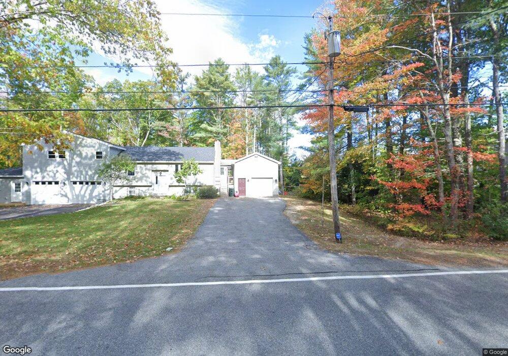
411 Flag Pond Rd Saco, ME 04072
North Saco NeighborhoodEstimated Value: $465,000 - $624,000
3
Beds
2
Baths
1,862
Sq Ft
$308/Sq Ft
Est. Value
About This Home
This home is located at 411 Flag Pond Rd, Saco, ME 04072 and is currently estimated at $574,330, approximately $308 per square foot. 411 Flag Pond Rd is a home located in York County with nearby schools including C K Burns School and Saco Middle School.
Ownership History
Date
Name
Owned For
Owner Type
Purchase Details
Closed on
Dec 10, 2020
Sold by
West-Rhinebolt Lorna J
Bought by
Cmeron West-Rhinebolt L and Cmeron Dana N
Current Estimated Value
Home Financials for this Owner
Home Financials are based on the most recent Mortgage that was taken out on this home.
Original Mortgage
$150,000
Outstanding Balance
$133,783
Interest Rate
2.8%
Mortgage Type
New Conventional
Estimated Equity
$440,547
Create a Home Valuation Report for This Property
The Home Valuation Report is an in-depth analysis detailing your home's value as well as a comparison with similar homes in the area
Home Values in the Area
Average Home Value in this Area
Purchase History
| Date | Buyer | Sale Price | Title Company |
|---|---|---|---|
| Cmeron West-Rhinebolt L | -- | None Available |
Source: Public Records
Mortgage History
| Date | Status | Borrower | Loan Amount |
|---|---|---|---|
| Open | Cmeron West-Rhinebolt L | $150,000 |
Source: Public Records
Tax History Compared to Growth
Tax History
| Year | Tax Paid | Tax Assessment Tax Assessment Total Assessment is a certain percentage of the fair market value that is determined by local assessors to be the total taxable value of land and additions on the property. | Land | Improvement |
|---|---|---|---|---|
| 2024 | $6,672 | $474,900 | $151,200 | $323,700 |
| 2023 | $7,005 | $474,900 | $151,200 | $323,700 |
| 2022 | $4,313 | $235,300 | $115,100 | $120,200 |
| 2021 | $4,159 | $220,300 | $103,800 | $116,500 |
| 2020 | $3,893 | $197,900 | $91,500 | $106,400 |
| 2019 | $3,835 | $197,900 | $91,500 | $106,400 |
| 2018 | $2,742 | $188,200 | $83,100 | $105,100 |
| 2017 | $3,099 | $179,900 | $76,100 | $103,800 |
| 2016 | $3,033 | $156,200 | $58,500 | $97,700 |
| 2015 | $2,977 | $154,900 | $58,500 | $96,400 |
| 2014 | $2,908 | $156,200 | $59,800 | $96,400 |
| 2013 | $2,902 | $156,200 | $59,800 | $96,400 |
Source: Public Records
Map
Nearby Homes
- 9 Jada Dr
- 436 Flag Pond Rd
- 5 Marguerite Rd
- 110/009 Mast Hill Rd
- Lot 1 & 2 Memory Ln
- 3 Nonesuch Rd
- 295 Buxton Rd
- 74 Hearn Rd
- Lot 2 TBD Bobby Ave
- 75 Ash Swamp Rd
- 130 Mckenney Rd
- lot 3 June Dr
- lot 2 June Dr
- 4 Spool St Unit 101
- 91 C Broadturn Rd
- 96C Broadturn Rd
- 159 Stewart Dr
- 91 B Broadturn Rd
- 155 Stewart Dr
- 153 Stewart Dr