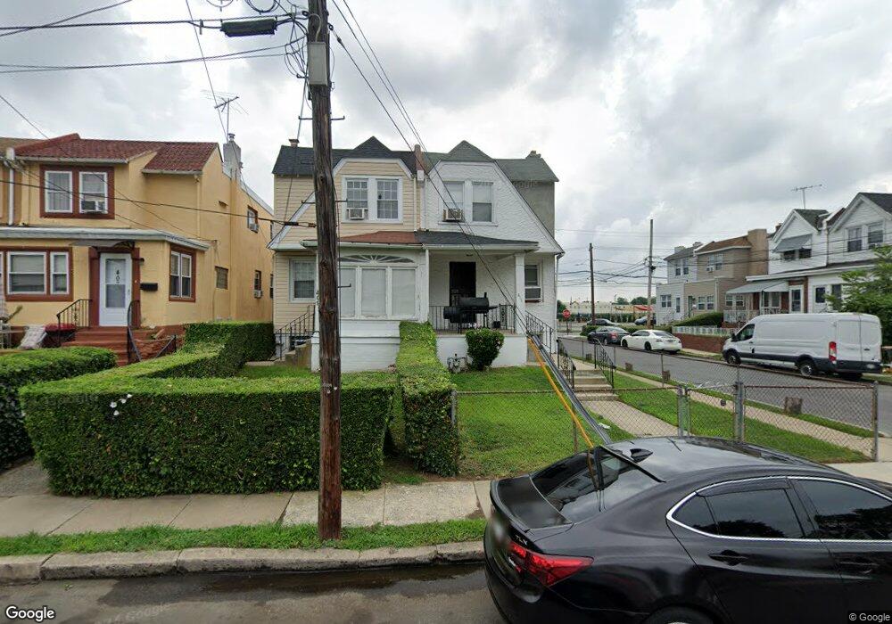
411 Hazel Ave Lansdowne, PA 19050
Estimated Value: $155,000 - $210,000
3
Beds
1
Bath
1,179
Sq Ft
$152/Sq Ft
Est. Value
About This Home
This home is located at 411 Hazel Ave, Lansdowne, PA 19050 and is currently estimated at $178,775, approximately $151 per square foot. 411 Hazel Ave is a home located in Delaware County with nearby schools including Ardmore Avenue School, Penn Wood Middle School, and Penn Wood High School - Cypress Street Campus.
Ownership History
Date
Name
Owned For
Owner Type
Purchase Details
Closed on
Jul 23, 1998
Sold by
Peda Kathleen H and Peda Dominick T
Bought by
Melchor Monroe and Melchor Crystal
Current Estimated Value
Home Financials for this Owner
Home Financials are based on the most recent Mortgage that was taken out on this home.
Original Mortgage
$61,750
Interest Rate
6.51%
Mortgage Type
Balloon
Purchase Details
Closed on
Jan 7, 1998
Sold by
Intel Communications Corp
Bought by
Peda Kathleen H
Purchase Details
Closed on
Aug 27, 1997
Sold by
Valentine J William and Estate Of Abbie Valentine Jenk
Bought by
Intel Communications Corp
Create a Home Valuation Report for This Property
The Home Valuation Report is an in-depth analysis detailing your home's value as well as a comparison with similar homes in the area
Home Values in the Area
Average Home Value in this Area
Purchase History
| Date | Buyer | Sale Price | Title Company |
|---|---|---|---|
| Melchor Monroe | $65,000 | -- | |
| Peda Kathleen H | $25,000 | -- | |
| Intel Communications Corp | $13,412 | -- |
Source: Public Records
Mortgage History
| Date | Status | Borrower | Loan Amount |
|---|---|---|---|
| Previous Owner | Melchor Monroe | $61,750 |
Source: Public Records
Tax History Compared to Growth
Tax History
| Year | Tax Paid | Tax Assessment Tax Assessment Total Assessment is a certain percentage of the fair market value that is determined by local assessors to be the total taxable value of land and additions on the property. | Land | Improvement |
|---|---|---|---|---|
| 2025 | $4,224 | $98,930 | $26,180 | $72,750 |
| 2024 | $4,224 | $98,930 | $26,180 | $72,750 |
| 2023 | $3,837 | $98,930 | $26,180 | $72,750 |
| 2022 | $3,658 | $98,930 | $26,180 | $72,750 |
| 2021 | $5,532 | $98,930 | $26,180 | $72,750 |
| 2020 | $3,510 | $56,210 | $23,170 | $33,040 |
| 2019 | $3,449 | $56,210 | $23,170 | $33,040 |
| 2018 | $3,401 | $56,210 | $0 | $0 |
| 2017 | $3,329 | $56,210 | $0 | $0 |
| 2016 | $308 | $56,210 | $0 | $0 |
| 2015 | $308 | $56,210 | $0 | $0 |
| 2014 | $308 | $56,210 | $0 | $0 |
Source: Public Records
Map
Nearby Homes
- 192 Fairview Ave
- 408 S Union Ave
- 103 Lincoln Ave
- 144 Fairview Ave
- 137 Elder Ave
- 201 Elder Ave
- 30 E Providence Rd
- 32 Elder Ave
- 49 Elberon Ave
- 603 Penn St
- 32 N Wycombe Ave
- 530 Orchard Ave
- 14 W Providence Rd
- 537 Orchard Ave
- 306 Golf Rd
- 37 E Stratford Ave
- 435 Bonsall Ave
- 503 Bonsall Ave
- 75 E Stewart Ave
- 129 Branford Rd