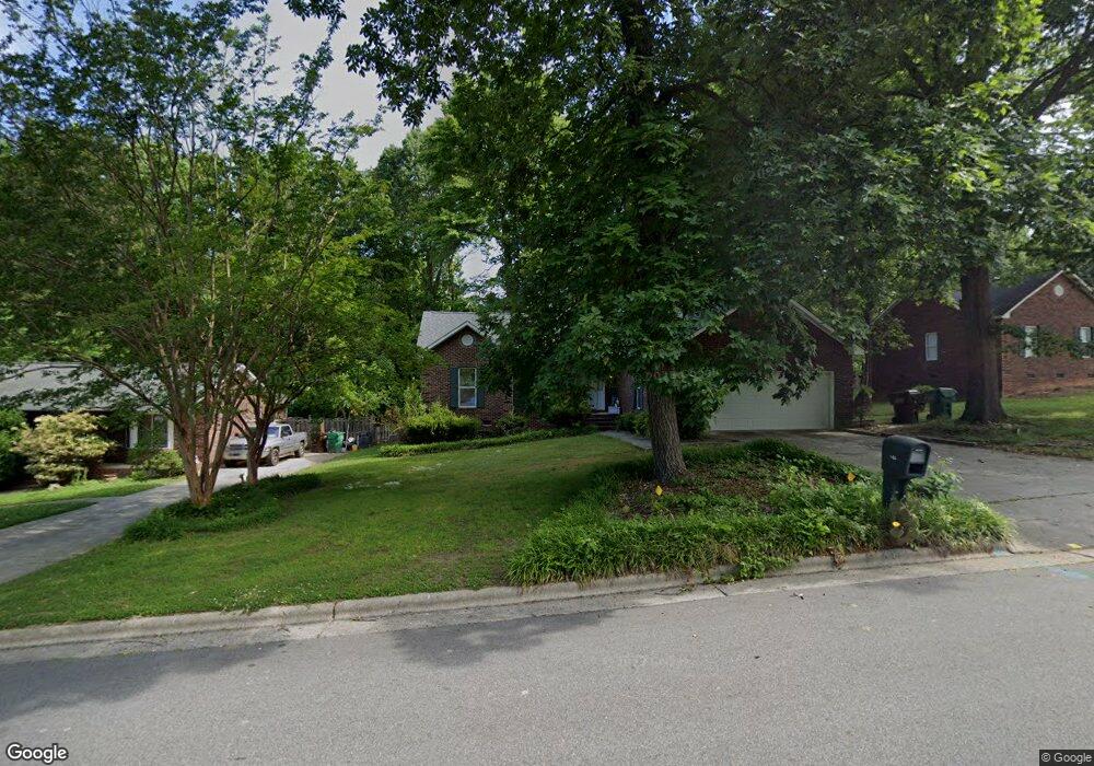
411 Lassiter Dr High Point, NC 27265
Oak View NeighborhoodEstimated Value: $222,909 - $235,000
3
Beds
2
Baths
1,400
Sq Ft
$162/Sq Ft
Est. Value
About This Home
This home is located at 411 Lassiter Dr, High Point, NC 27265 and is currently estimated at $226,977, approximately $162 per square foot. 411 Lassiter Dr is a home located in Guilford County with nearby schools including Montlieu Academy of Technology, Welborn Academy of Science & Technology, and T.W. Andrews High School.
Ownership History
Date
Name
Owned For
Owner Type
Purchase Details
Closed on
Mar 2, 2020
Sold by
Powers David L
Bought by
Srm Props Llc
Current Estimated Value
Purchase Details
Closed on
Sep 25, 2000
Sold by
Dyson William H and Dyson Sara C
Bought by
Powers David L
Home Financials for this Owner
Home Financials are based on the most recent Mortgage that was taken out on this home.
Original Mortgage
$118,450
Interest Rate
8.05%
Mortgage Type
VA
Create a Home Valuation Report for This Property
The Home Valuation Report is an in-depth analysis detailing your home's value as well as a comparison with similar homes in the area
Home Values in the Area
Average Home Value in this Area
Purchase History
| Date | Buyer | Sale Price | Title Company |
|---|---|---|---|
| Srm Props Llc | $116,000 | None Available | |
| Powers David L | $115,000 | -- |
Source: Public Records
Mortgage History
| Date | Status | Borrower | Loan Amount |
|---|---|---|---|
| Previous Owner | Powers David L | $118,450 |
Source: Public Records
Tax History
| Year | Tax Paid | Tax Assessment Tax Assessment Total Assessment is a certain percentage of the fair market value that is determined by local assessors to be the total taxable value of land and additions on the property. | Land | Improvement |
|---|---|---|---|---|
| 2025 | $2,290 | $166,200 | $30,000 | $136,200 |
| 2024 | $2,290 | $166,200 | $30,000 | $136,200 |
| 2023 | $2,290 | $166,200 | $30,000 | $136,200 |
| 2022 | $2,336 | $173,300 | $30,000 | $143,300 |
| 2021 | $1,796 | $130,300 | $20,000 | $110,300 |
| 2020 | $1,796 | $130,300 | $20,000 | $110,300 |
| 2019 | $1,796 | $130,300 | $0 | $0 |
| 2018 | $1,787 | $130,300 | $0 | $0 |
| 2017 | $1,787 | $130,300 | $0 | $0 |
| 2016 | $1,732 | $123,500 | $0 | $0 |
| 2015 | $1,741 | $123,500 | $0 | $0 |
| 2014 | $1,771 | $123,500 | $0 | $0 |
Source: Public Records
Map
Nearby Homes
- 1711 Hanover Ct
- 1746 Stoneybrook Dr
- 2462 Dukes Hollow Ct
- 3100 Stratford Ct
- 1601 Staley Rd
- 2005 Carlisle Way
- 2007 Carlisle Way
- 2021 Arden Place
- 1706 Lazy Ln
- 3226 Derby Cir
- 2373 Dukes Hollow Ct
- 1818 Guyer St Unit C
- 2300 Gordon Rd
- 1808 Guyer St
- 1717 Carolina St
- 2511 Copperleaf Ct
- 1811 Lazy Ln
- 2101 Arbrook Ln
- 2429 Cypress Ct
- 3400 Herron Point
- 413 Lassiter Dr
- 409 Lassiter Dr
- 2513 Waynick St
- 407 Lassiter Dr
- 2501 Waynick St
- 410 Lassiter Dr
- 2515 Waynick St
- 408 Lassiter Dr
- 2514 Waynick St
- 2541 Ambassador Ct
- 2508 Waynick St
- 406 Lassiter Dr
- 2510 Waynick St
- 2419 Waynick St
- 2506 Waynick St
- 2504 Waynick St
- 2564 Ambassador Ct
- 2512 Waynick St
- 2566 Ambassador Ct
- 2417 Waynick St
Your Personal Tour Guide
Ask me questions while you tour the home.