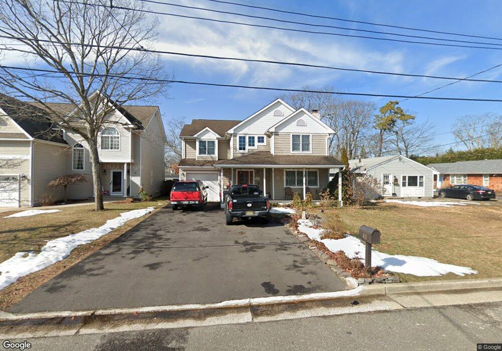
411 Matt Robinson Ln Point Pleasant Boro, NJ 08742
Estimated Value: $964,000 - $1,092,000
4
Beds
3
Baths
2,494
Sq Ft
$406/Sq Ft
Est. Value
About This Home
This home is located at 411 Matt Robinson Ln, Point Pleasant Boro, NJ 08742 and is currently estimated at $1,012,526, approximately $405 per square foot. 411 Matt Robinson Ln is a home located in Ocean County with nearby schools including Point Pleasant High School, St Dominic School, and St. Peter School.
Ownership History
Date
Name
Owned For
Owner Type
Purchase Details
Closed on
Jun 24, 2009
Sold by
Stacy Michael and Stacy Michelle
Bought by
Franceschini Gregory and Franceschini Joyce
Current Estimated Value
Home Financials for this Owner
Home Financials are based on the most recent Mortgage that was taken out on this home.
Original Mortgage
$235,000
Outstanding Balance
$149,753
Interest Rate
4.93%
Mortgage Type
Purchase Money Mortgage
Estimated Equity
$862,773
Purchase Details
Closed on
Jun 24, 2003
Sold by
Slater Robert M
Bought by
Stacy Michael and Stacy Michelle
Home Financials for this Owner
Home Financials are based on the most recent Mortgage that was taken out on this home.
Original Mortgage
$250,000
Interest Rate
5.45%
Purchase Details
Closed on
Sep 1, 1994
Sold by
Devaney Thomas
Bought by
Slater Robert and Slater Jennifer
Create a Home Valuation Report for This Property
The Home Valuation Report is an in-depth analysis detailing your home's value as well as a comparison with similar homes in the area
Home Values in the Area
Average Home Value in this Area
Purchase History
| Date | Buyer | Sale Price | Title Company |
|---|---|---|---|
| Franceschini Gregory | $490,000 | None Available | |
| Stacy Michael | $423,000 | -- | |
| Slater Robert | $128,000 | -- |
Source: Public Records
Mortgage History
| Date | Status | Borrower | Loan Amount |
|---|---|---|---|
| Open | Franceschini Gregory | $235,000 | |
| Previous Owner | Stacy Michael | $250,000 |
Source: Public Records
Tax History Compared to Growth
Tax History
| Year | Tax Paid | Tax Assessment Tax Assessment Total Assessment is a certain percentage of the fair market value that is determined by local assessors to be the total taxable value of land and additions on the property. | Land | Improvement |
|---|---|---|---|---|
| 2025 | $11,060 | $483,600 | $179,300 | $304,300 |
| 2024 | $10,572 | $483,600 | $179,300 | $304,300 |
| 2023 | $10,354 | $483,600 | $179,300 | $304,300 |
| 2022 | $10,354 | $483,600 | $179,300 | $304,300 |
| 2021 | $10,194 | $483,600 | $179,300 | $304,300 |
| 2020 | $10,088 | $483,600 | $179,300 | $304,300 |
| 2019 | $9,952 | $483,600 | $179,300 | $304,300 |
| 2018 | $9,657 | $483,600 | $179,300 | $304,300 |
| 2017 | $9,445 | $483,600 | $179,300 | $304,300 |
| 2016 | $9,372 | $483,600 | $179,300 | $304,300 |
| 2015 | $9,261 | $483,600 | $179,300 | $304,300 |
| 2014 | $9,048 | $483,600 | $179,300 | $304,300 |
Source: Public Records
Map
Nearby Homes
- 403 Matt Robinson Ln
- 305 Barbara Dr
- 505 Curtis Ave
- 3006 Herbertsville Rd
- 519 Curtis Ave
- 602 Boulton Ave
- 3000 River Rd Unit 3000 & 3000A
- 239 Jaehnel Pkwy
- 103 River Ave
- 2704 Route 88
- 530 Riverwood Ave
- 2504 Oak St
- 2607 Spruce St
- 506 Crestview Terrace
- 1027 Ocean Rd
- 226 Pearce Ave
- 531 Oak Terrace
- 709 Albert E Clifton Ave
- 208 Giese Ln
- 2201 River Rd Unit 4401
- 413 Matt Robinson Ln
- 409 Matt Robinson Ln
- 415 Matt Robinson Ln
- 407 Matt Robinson Ln
- 408 Claridge Ct
- 406 Claridge Ct
- 410 Claridge Ct
- 417 Matt Robinson Ln
- 405 Matt Robinson Ln
- 404 Claridge Ct
- 2801 Herbertsville Rd
- 412 Matt Robinson Ln
- 410 Matt Robinson Ln
- 408 Matt Robinson Ln
- 402 Claridge Ct
- 416 Matt Robinson Ln
- 406 Matt Robinson Ln
- 2701 Herbertsville Rd
- 404 Matt Robinson Ln
- 407 Claridge Ct