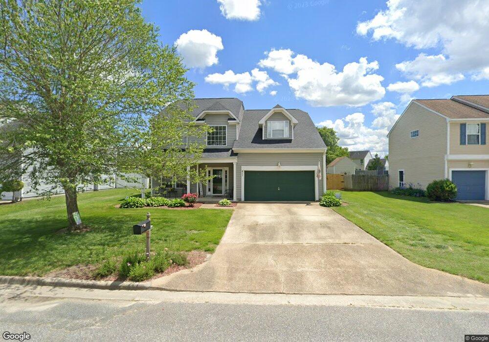
411 Millwright Way Chesapeake, VA 23323
Deep Creek NeighborhoodEstimated Value: $448,000 - $518,000
4
Beds
3
Baths
2,384
Sq Ft
$209/Sq Ft
Est. Value
About This Home
This home is located at 411 Millwright Way, Chesapeake, VA 23323 and is currently estimated at $498,549, approximately $209 per square foot. 411 Millwright Way is a home located in Chesapeake City with nearby schools including Grassfield Elementary School, Hugo A. Owens Middle, and Grassfield High School.
Ownership History
Date
Name
Owned For
Owner Type
Purchase Details
Closed on
May 21, 2024
Sold by
Soeder John E and Soeder Valerie L
Bought by
Mayorga Donald
Current Estimated Value
Home Financials for this Owner
Home Financials are based on the most recent Mortgage that was taken out on this home.
Original Mortgage
$490,675
Outstanding Balance
$484,078
Interest Rate
7.1%
Mortgage Type
VA
Estimated Equity
$14,471
Create a Home Valuation Report for This Property
The Home Valuation Report is an in-depth analysis detailing your home's value as well as a comparison with similar homes in the area
Home Values in the Area
Average Home Value in this Area
Purchase History
| Date | Buyer | Sale Price | Title Company |
|---|---|---|---|
| Mayorga Donald | $475,000 | Rocket Title |
Source: Public Records
Mortgage History
| Date | Status | Borrower | Loan Amount |
|---|---|---|---|
| Open | Mayorga Donald | $490,675 |
Source: Public Records
Tax History
| Year | Tax Paid | Tax Assessment Tax Assessment Total Assessment is a certain percentage of the fair market value that is determined by local assessors to be the total taxable value of land and additions on the property. | Land | Improvement |
|---|---|---|---|---|
| 2025 | $4,661 | $468,000 | $185,000 | $283,000 |
| 2024 | $4,661 | $461,500 | $165,000 | $296,500 |
| 2023 | $4,412 | $436,800 | $135,000 | $301,800 |
| 2022 | $3,943 | $390,400 | $125,000 | $265,400 |
| 2021 | $3,519 | $335,100 | $105,000 | $230,100 |
| 2020 | $3,397 | $323,500 | $105,000 | $218,500 |
| 2019 | $3,209 | $305,600 | $105,000 | $200,600 |
| 2018 | $3,293 | $313,600 | $105,000 | $208,600 |
| 2017 | $3,060 | $291,400 | $95,000 | $196,400 |
| 2016 | $2,980 | $283,800 | $95,000 | $188,800 |
| 2015 | $2,903 | $276,500 | $100,000 | $176,500 |
| 2014 | $2,863 | $272,700 | $100,000 | $172,700 |
Source: Public Records
Map
Nearby Homes
- 212 Andiron Arch
- 2825 Ridgeboard Place
- 3009 Patrick Henry Dr
- 324 Big Pond Ln
- 704 Log Fern Ln
- 500 Hermit Thrush Way
- 502 Willow Bend Dr
- 627 Mill Creek Pkwy
- 253 George Washington Hwy S
- 824 Canoe St
- 3216 Farange Dr
- 3223 White Cedar Dr
- 709 Big Bear Ln
- 615 Horse Camp Ln
- 3307 Dodd Dr
- 185 George Washington Hwy S
- 304 Quail Meadow Dr
- 633 Creekwood Dr
- 2761 Cedar Rd
- 324 Mobile Dr
- 413 Millwright Way
- 409 Millwright Way
- 404 Lodge Cove
- 410 Millwright Way
- 412 Millwright Way
- 407 Millwright Way
- 408 Millwright Way
- 400 Lodge Cove
- 406 Millwright Way
- 2926 Crosstie Ln
- 2925 Crosstie Ln
- 410 Lodge Cove
- 2924 Crosstie Ln
- 404 Millwright Way
- 403 Millwright Way
- 401 Lodge Cove
- 400 Millwright Way
- 2921 Crosstie Ln
- 2920 Crosstie Ln
- 405 Lodge Cove
Your Personal Tour Guide
Ask me questions while you tour the home.