411 Mustang Rd Lexington, SC 29073
Estimated Value: $174,000 - $300,000
4
Beds
2
Baths
2,432
Sq Ft
$104/Sq Ft
Est. Value
About This Home
This home is located at 411 Mustang Rd, Lexington, SC 29073 and is currently estimated at $253,618, approximately $104 per square foot. 411 Mustang Rd is a home located in Lexington County with nearby schools including Forts Pond Elementary School, Pelion Middle School, and Pelion High School.
Ownership History
Date
Name
Owned For
Owner Type
Purchase Details
Closed on
Mar 17, 2008
Sold by
Hall James C
Bought by
Roland Sidney Rhet
Current Estimated Value
Home Financials for this Owner
Home Financials are based on the most recent Mortgage that was taken out on this home.
Original Mortgage
$139,285
Interest Rate
5.1%
Mortgage Type
Future Advance Clause Open End Mortgage
Purchase Details
Closed on
Aug 9, 2002
Sold by
Master In Equity
Bought by
Litchfield Finan Corp
Purchase Details
Closed on
Aug 7, 2002
Sold by
Litchfield Finan Corp
Bought by
Hall James C
Purchase Details
Closed on
May 28, 1999
Sold by
Lugoff Land Co Inc
Bought by
Smoak Kevin J
Create a Home Valuation Report for This Property
The Home Valuation Report is an in-depth analysis detailing your home's value as well as a comparison with similar homes in the area
Home Values in the Area
Average Home Value in this Area
Purchase History
| Date | Buyer | Sale Price | Title Company |
|---|---|---|---|
| Roland Sidney Rhet | $26,000 | -- | |
| Litchfield Finan Corp | $12,000 | -- | |
| Hall James C | $9,000 | -- | |
| Smoak Kevin J | $44,500 | -- |
Source: Public Records
Mortgage History
| Date | Status | Borrower | Loan Amount |
|---|---|---|---|
| Previous Owner | Roland Sidney Rhet | $139,285 |
Source: Public Records
Tax History Compared to Growth
Tax History
| Year | Tax Paid | Tax Assessment Tax Assessment Total Assessment is a certain percentage of the fair market value that is determined by local assessors to be the total taxable value of land and additions on the property. | Land | Improvement |
|---|---|---|---|---|
| 2024 | $756 | $5,061 | $1,444 | $3,617 |
| 2023 | $756 | $5,061 | $1,444 | $3,617 |
| 2022 | $753 | $5,061 | $1,444 | $3,617 |
| 2020 | $773 | $5,061 | $1,444 | $3,617 |
| 2019 | $757 | $4,874 | $1,360 | $3,514 |
| 2018 | $743 | $4,874 | $1,360 | $3,514 |
| 2017 | $721 | $4,874 | $1,360 | $3,514 |
| 2016 | $714 | $4,873 | $1,360 | $3,513 |
| 2014 | $711 | $5,070 | $1,360 | $3,710 |
| 2013 | -- | $5,070 | $1,360 | $3,710 |
Source: Public Records
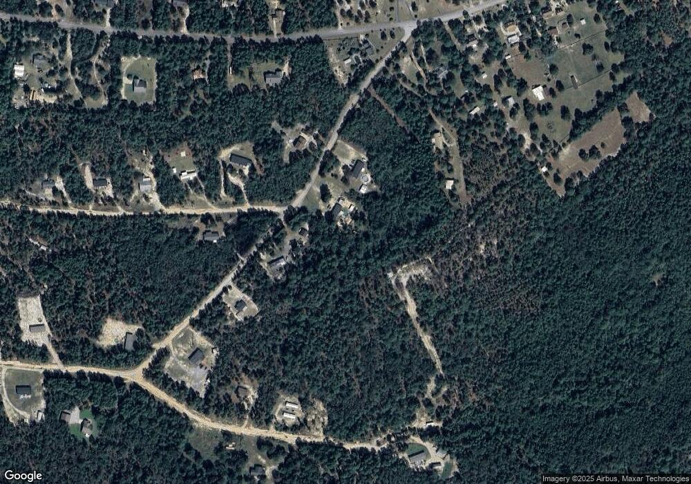
Map
Nearby Homes
- 190 Federation St
- 186 Federation St
- 154 Federation St
- 112 Federation St
- 200 Living Waters Blvd
- 187 Federation St
- Broadmoor Plan at Edmund Hill Estates
- Sweetbay Plan at Edmund Hill Estates
- Bradford Plan at Edmund Hill Estates
- Westbury Plan at Edmund Hill Estates
- Crestwind Plan at Edmund Hill Estates
- Baxter Plan at Edmund Hill Estates
- Aspen Plan at Edmund Hill Estates
- Whitman Plan at Edmund Hill Estates
- Davidson Plan at Edmund Hill Estates
- Bedford Plan at Edmund Hill Estates
- Bailey II Plan at Peachtree Hills
- Harper II Plan at Peachtree Hills
- Bentcreek II Plan at Peachtree Hills
- Julie II Plan at Peachtree Hills
- 409 Mustang Rd
- 407 Mustang Rd
- 410 Mustang Rd
- 501 Appaloosa Trail
- 414 Mustang Rd
- 415 Mustang Rd
- 503 Appaloosa Trail
- 321 Shetland Ln
- 405 Mustang Rd
- 323 Shetland Ln
- 614 Arabian Rd
- 403 Mustang Rd
- 325 Shetland Ln
- 0 Appalossa Dr Unit 251964
- 317 Shetland Ln
- 601 Arabian Rd
- 620 Arabian Rd
- 506 Appaloosa Trail
- 401 Mustang Rd
- 322 Shetland Ln