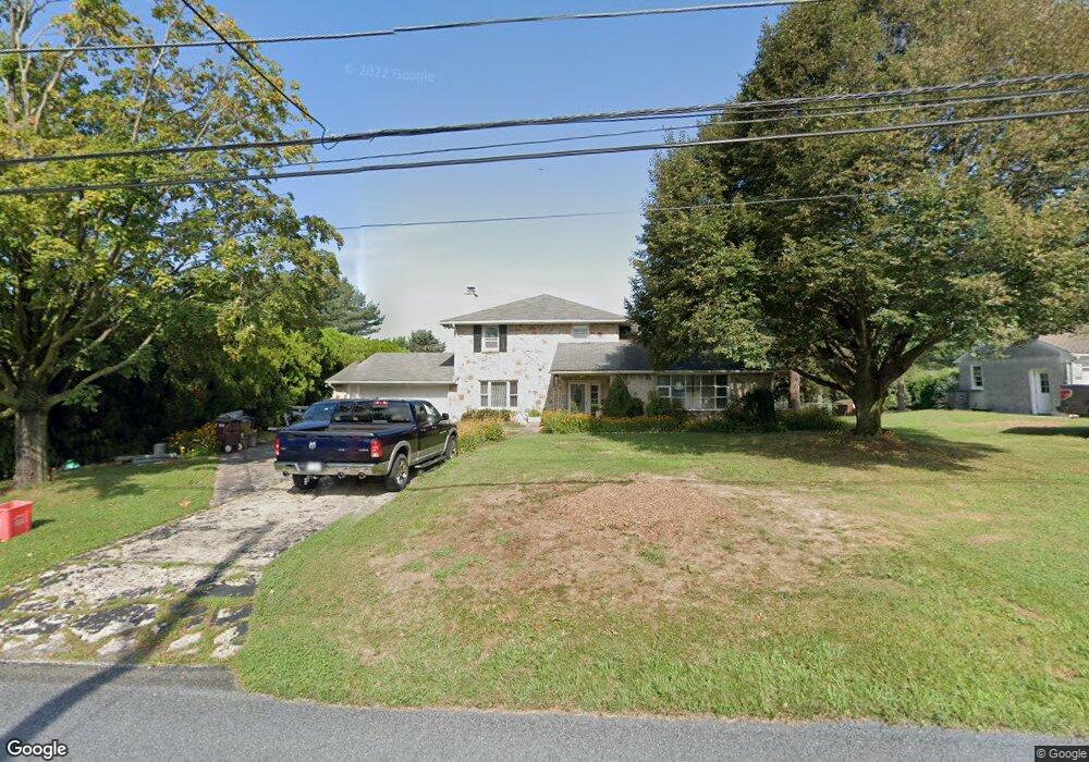
411 Reitnour Rd Spring City, PA 19475
East Vincent Township NeighborhoodEstimated Value: $430,000 - $604,000
3
Beds
2
Baths
1,453
Sq Ft
$349/Sq Ft
Est. Value
About This Home
This home is located at 411 Reitnour Rd, Spring City, PA 19475 and is currently estimated at $506,411, approximately $348 per square foot. 411 Reitnour Rd is a home located in Chester County with nearby schools including East Coventry Elementary School, Owen J Roberts Middle School, and Owen J Roberts High School.
Ownership History
Date
Name
Owned For
Owner Type
Purchase Details
Closed on
Jan 19, 2011
Sold by
Canci Josephine
Bought by
Clancy Josephine
Current Estimated Value
Home Financials for this Owner
Home Financials are based on the most recent Mortgage that was taken out on this home.
Original Mortgage
$131,000
Outstanding Balance
$4,057
Interest Rate
4.83%
Mortgage Type
New Conventional
Estimated Equity
$502,354
Purchase Details
Closed on
Sep 30, 1999
Sold by
Levengood Elmer and Levengood Karen
Bought by
Canci Josephine
Home Financials for this Owner
Home Financials are based on the most recent Mortgage that was taken out on this home.
Original Mortgage
$152,550
Interest Rate
7.81%
Create a Home Valuation Report for This Property
The Home Valuation Report is an in-depth analysis detailing your home's value as well as a comparison with similar homes in the area
Home Values in the Area
Average Home Value in this Area
Purchase History
| Date | Buyer | Sale Price | Title Company |
|---|---|---|---|
| Clancy Josephine | -- | Liberty Title & Escrow Co | |
| Canci Josephine | $169,500 | -- |
Source: Public Records
Mortgage History
| Date | Status | Borrower | Loan Amount |
|---|---|---|---|
| Open | Clancy Josephine | $131,000 | |
| Closed | Canci Josephine | $152,550 |
Source: Public Records
Tax History Compared to Growth
Tax History
| Year | Tax Paid | Tax Assessment Tax Assessment Total Assessment is a certain percentage of the fair market value that is determined by local assessors to be the total taxable value of land and additions on the property. | Land | Improvement |
|---|---|---|---|---|
| 2025 | $6,384 | $155,430 | $33,340 | $122,090 |
| 2024 | $6,384 | $155,430 | $33,340 | $122,090 |
| 2023 | $6,292 | $155,430 | $33,340 | $122,090 |
| 2022 | $6,190 | $155,430 | $33,340 | $122,090 |
| 2021 | $6,083 | $155,430 | $33,340 | $122,090 |
| 2020 | $5,926 | $155,430 | $33,340 | $122,090 |
| 2019 | $5,814 | $155,430 | $33,340 | $122,090 |
| 2018 | $5,747 | $155,430 | $33,340 | $122,090 |
| 2017 | $5,611 | $155,430 | $33,340 | $122,090 |
| 2016 | $4,627 | $155,430 | $33,340 | $122,090 |
| 2015 | $4,627 | $155,430 | $33,340 | $122,090 |
| 2014 | $4,627 | $155,430 | $33,340 | $122,090 |
Source: Public Records
Map
Nearby Homes
- 1112 W Bridge St
- 109 Alackness Rd
- 120 Alackness Rd
- 26 Kolb Rd
- 891 Brown Dr
- 723 Saylors Mill Rd
- 25 Hastings Ln
- 5 Madison Dr
- 33 Mulberry Green
- 621 Hoffman Blvd
- 618 Hoffman Blvd
- 801 Heckel Ave
- 865 Cypress Ave
- 10 Ashwood Dr
- 857 Buttonwood Ave
- 885 Buttonwood Ave
- 841 Cypress Ave
- 440 King St
- 885 Cypress Ave
- 431 Broad St