411 Russell Ln Weatherford, TX 76087
Estimated Value: $791,000
--
Bed
--
Bath
3,732
Sq Ft
$212/Sq Ft
Est. Value
About This Home
This home is located at 411 Russell Ln, Weatherford, TX 76087 and is currently estimated at $791,000, approximately $211 per square foot. 411 Russell Ln is a home with nearby schools including Brock Intermediate School, Brock Junior High School, and Brock High School.
Ownership History
Date
Name
Owned For
Owner Type
Purchase Details
Closed on
Apr 27, 2017
Sold by
Mueller Patrick A and Mueller Barbara H
Bought by
Rose Donal B and Rose Cynthia J
Current Estimated Value
Home Financials for this Owner
Home Financials are based on the most recent Mortgage that was taken out on this home.
Original Mortgage
$300,000
Interest Rate
4.23%
Mortgage Type
Seller Take Back
Purchase Details
Closed on
Aug 10, 2001
Sold by
Wilson Jackson S
Bought by
Rose Donal B and Rose Cynthia J
Create a Home Valuation Report for This Property
The Home Valuation Report is an in-depth analysis detailing your home's value as well as a comparison with similar homes in the area
Home Values in the Area
Average Home Value in this Area
Purchase History
| Date | Buyer | Sale Price | Title Company |
|---|---|---|---|
| Rose Donal B | $300,000 | Providence Title | |
| Rose Donal B | -- | -- |
Source: Public Records
Mortgage History
| Date | Status | Borrower | Loan Amount |
|---|---|---|---|
| Closed | Rose Donal B | $300,000 |
Source: Public Records
Tax History Compared to Growth
Tax History
| Year | Tax Paid | Tax Assessment Tax Assessment Total Assessment is a certain percentage of the fair market value that is determined by local assessors to be the total taxable value of land and additions on the property. | Land | Improvement |
|---|---|---|---|---|
| 2025 | $14,988 | $869,638 | $43,370 | $826,268 |
| 2024 | $14,988 | $886,171 | -- | -- |
| 2023 | $14,988 | $979,440 | $29,800 | $949,640 |
| 2022 | $14,869 | $732,380 | $15,570 | $716,810 |
| 2021 | $15,636 | $732,380 | $15,570 | $716,810 |
| 2020 | $14,009 | $647,210 | $13,170 | $634,040 |
| 2019 | $11,091 | $475,870 | $13,170 | $462,700 |
| 2018 | $7,062 | $301,640 | $10,170 | $291,470 |
| 2017 | $5,398 | $269,640 | $10,170 | $259,470 |
| 2016 | $4,908 | $213,320 | $9,250 | $204,070 |
| 2015 | $3,594 | $213,320 | $9,250 | $204,070 |
| 2014 | $3,718 | $202,400 | $7,080 | $195,320 |
Source: Public Records
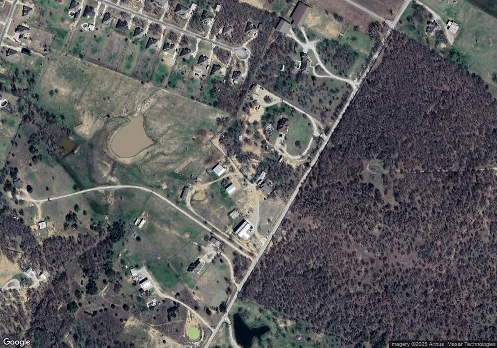
Map
Nearby Homes
- 1040 Bermes Ct
- 243 Dixie Rd
- 1004 Bermes Ct
- 328 Rita Ridge Ct
- 327 Rita Ridge Ct
- 319 Rita Ridge Ct
- 323 Rita Ridge Ct
- 205 Jimmy Ln
- 209 Jimmy Ln
- 213 Jimmy Ln
- 217 Jimmy Ln
- 221 Jimmy Ln
- 252 Jimmy Ln
- 2505 Lazy Bend Rd
- 115 Esther Ct
- 100 Tall Grass Ct
- 100 Buddy Ct
- 140 Champion Ct
- 1024 Brock Heights Ct
- 210 W Bluff Ln
- 0 Russell Ln
- 433 Russell Ln
- 377 Russell Ln
- 144 Post Oak Way
- 138 Post Oak Way
- 485 Russell Ln
- 134 Post Oak Way
- 311 Russell Ln
- 145 Post Oak Way
- 304 Russell Ln
- 130 Post Oak Way
- 139 Post Oak Way
- 515 Russell Ln
- 517 Russell Ln
- 133 Post Oak Way
- 519 Russell Ln
- 126 Post Oak Way
- 122 Post Oak Way
- 129 Post Oak Way
- 118 Post Oak Way