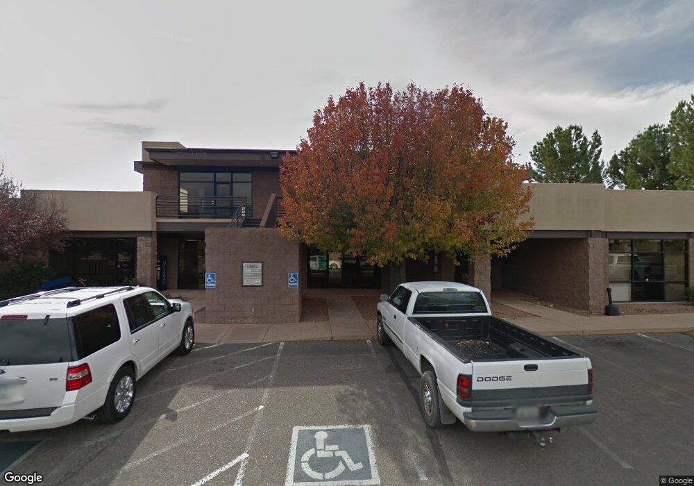
411 S 14th St Unit 101 Cottonwood, AZ 86326
Cottonwood NeighborhoodEstimated Value: $1,251,928
--
Bed
--
Bath
2,481
Sq Ft
$505/Sq Ft
Est. Value
About This Home
This home is located at 411 S 14th St Unit 101, Cottonwood, AZ 86326 and is currently estimated at $1,251,928, approximately $504 per square foot. 411 S 14th St Unit 101 is a home located in Yavapai County with nearby schools including Cottonwood Elementary School, Dr Daniel Bright Elementary School, and Cottonwood Community School.
Ownership History
Date
Name
Owned For
Owner Type
Purchase Details
Closed on
May 26, 2015
Sold by
Southwest Drive Llc
Bought by
Yavapia County
Current Estimated Value
Purchase Details
Closed on
Jan 7, 2011
Sold by
National Bank Of Arizona
Bought by
Southwest Drive Llc
Home Financials for this Owner
Home Financials are based on the most recent Mortgage that was taken out on this home.
Original Mortgage
$405,000
Interest Rate
4.82%
Mortgage Type
Purchase Money Mortgage
Purchase Details
Closed on
Jul 14, 2010
Sold by
Stockbridge Development Llc
Bought by
National Bank Of Arizona Na
Purchase Details
Closed on
Nov 27, 2006
Sold by
J Stockbridge T
Bought by
Stockbridge Development Llc
Home Financials for this Owner
Home Financials are based on the most recent Mortgage that was taken out on this home.
Original Mortgage
$950,000
Interest Rate
6.38%
Mortgage Type
Purchase Money Mortgage
Purchase Details
Closed on
Apr 5, 2002
Sold by
Metcalf Bernhard T and Metcalf Lynne B
Bought by
Stockbridge T J and Stockbridge June M
Purchase Details
Closed on
Sep 12, 2000
Sold by
Shaw Norman D and Shaw Linda K
Bought by
Bill Charles E and The E Charles & Lois E Bill Fa
Create a Home Valuation Report for This Property
The Home Valuation Report is an in-depth analysis detailing your home's value as well as a comparison with similar homes in the area
Home Values in the Area
Average Home Value in this Area
Purchase History
| Date | Buyer | Sale Price | Title Company |
|---|---|---|---|
| Yavapia County | $600,000 | Pioneer Title Agency | |
| Southwest Drive Llc | $400,000 | First American Title Prescot | |
| National Bank Of Arizona Na | $750,000 | Yavapai Title Agency Inc | |
| Stockbridge Development Llc | -- | Yavapai Title Agency Inc | |
| Stockbridge T J | $92,000 | Yavapai Title Agency | |
| Bill Charles E | -- | Yavapai Title Agency Inc |
Source: Public Records
Mortgage History
| Date | Status | Borrower | Loan Amount |
|---|---|---|---|
| Previous Owner | Southwest Drive Llc | $405,000 | |
| Previous Owner | Stockbridge Development Llc | $950,000 |
Source: Public Records
Tax History Compared to Growth
Tax History
| Year | Tax Paid | Tax Assessment Tax Assessment Total Assessment is a certain percentage of the fair market value that is determined by local assessors to be the total taxable value of land and additions on the property. | Land | Improvement |
|---|---|---|---|---|
| 2026 | -- | -- | -- | -- |
| 2024 | $0 | -- | -- | -- |
| 2023 | $0 | $231,351 | $23,203 | $208,148 |
| 2022 | $0 | $202,485 | $31,308 | $171,177 |
| 2021 | $0 | $160,615 | $31,308 | $129,307 |
| 2020 | $0 | $0 | $0 | $0 |
| 2019 | $0 | $0 | $0 | $0 |
| 2018 | $0 | $0 | $0 | $0 |
| 2017 | $0 | $0 | $0 | $0 |
| 2016 | -- | $0 | $0 | $0 |
| 2015 | -- | $0 | $0 | $0 |
| 2014 | -- | $0 | $0 | $0 |
Source: Public Records
Map
Nearby Homes
- 1461 E Cherry St
- 425 S Main St
- 280 S Main St
- 345 Arizona 89a
- 1065 Crenshaw
- 330 S 17th Place
- 1707 Sawmill Rd
- 1151 E State Route 89a --
- 705 S 16th St
- 713 Skyview Ln
- 0 E Aspen St
- 1161 S 10th St
- 720 Skyview Ln
- 503 S Sawmill Gardens Dr
- 2050 W Highway 89a Unit 410
- 1765 E Villa Dr
- 1013 E Mingus Ave
- 1655 Oro Dr
- 290 S 6th Place
- 1615 E Crestview Cir
- 411 S 14th St Unit 203
- 411 S 14th St Unit 202
- 411 S 14th St Unit 201
- 411 S 14th St Unit 104
- 411 S 14th St Unit 103
- 411 S 14th St Unit 102
- 1461 E Cherry St Unit 3
- 420 S Main St
- 408 S Main St
- 468 S Main St
- 324 S 15th St
- 1560 E Cherry St Unit 101
- 1560 E Cherry St Unit 102
- 1560 E Cherry St
- 1229 E Cherry St
- 437 S Main #1 St
- 327 15th South St Unit 1