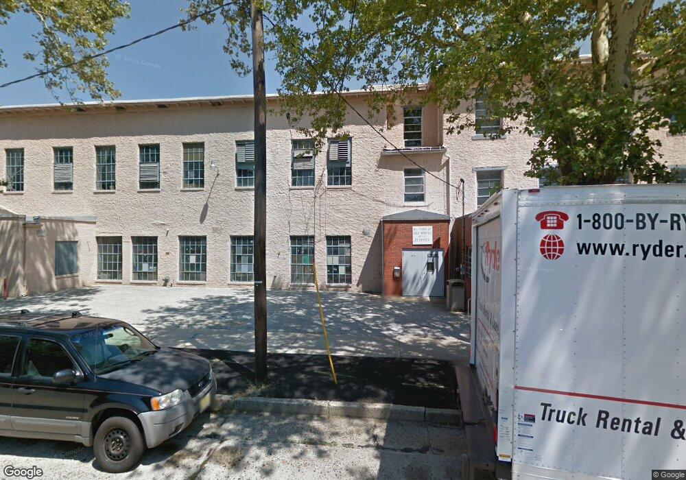
411 S 6th St Vineland, NJ 08360
Estimated Value: $741,971
--
Bed
--
Bath
--
Sq Ft
1.28
Acres
About This Home
This home is located at 411 S 6th St, Vineland, NJ 08360 and is currently estimated at $741,971. 411 S 6th St is a home located in Cumberland County with nearby schools including Gloria M. Sabater Elementary School, Landis Middle School, and Vineland Senior High School.
Ownership History
Date
Name
Owned For
Owner Type
Purchase Details
Closed on
Dec 29, 2020
Sold by
Derossi & Son Co
Bought by
Landis Factory Llc
Current Estimated Value
Home Financials for this Owner
Home Financials are based on the most recent Mortgage that was taken out on this home.
Original Mortgage
$400,000
Outstanding Balance
$356,939
Interest Rate
2.7%
Mortgage Type
Purchase Money Mortgage
Estimated Equity
$385,032
Purchase Details
Closed on
Jul 24, 1990
Bought by
De Rossi & Son, Inc
Create a Home Valuation Report for This Property
The Home Valuation Report is an in-depth analysis detailing your home's value as well as a comparison with similar homes in the area
Home Values in the Area
Average Home Value in this Area
Purchase History
| Date | Buyer | Sale Price | Title Company |
|---|---|---|---|
| Landis Factory Llc | $468,000 | Misc Company | |
| De Rossi & Son, Inc | -- | -- |
Source: Public Records
Mortgage History
| Date | Status | Borrower | Loan Amount |
|---|---|---|---|
| Open | Landis Factory Llc | $400,000 |
Source: Public Records
Tax History Compared to Growth
Tax History
| Year | Tax Paid | Tax Assessment Tax Assessment Total Assessment is a certain percentage of the fair market value that is determined by local assessors to be the total taxable value of land and additions on the property. | Land | Improvement |
|---|---|---|---|---|
| 2025 | $19,104 | $600,000 | $28,900 | $571,100 |
| 2024 | $19,104 | $600,000 | $28,900 | $571,100 |
| 2023 | $18,978 | $600,000 | $28,900 | $571,100 |
| 2022 | $18,414 | $600,000 | $28,900 | $571,100 |
| 2021 | $18,078 | $600,000 | $28,900 | $571,100 |
| 2020 | $17,562 | $600,000 | $28,900 | $571,100 |
| 2019 | $17,322 | $600,000 | $28,900 | $571,100 |
| 2018 | $16,866 | $600,000 | $28,900 | $571,100 |
| 2017 | $16,020 | $600,000 | $28,900 | $571,100 |
| 2016 | $15,456 | $600,000 | $28,900 | $571,100 |
| 2015 | $14,886 | $600,000 | $28,900 | $571,100 |
| 2014 | $26,285 | $1,120,400 | $28,900 | $1,091,500 |
Source: Public Records
Map
Nearby Homes
- 406 S 6th St
- 511 E Grape St
- 739 E Montrose St
- 724 E Grape St
- 306 S East Ave
- 729 E Landis Ave
- 818 E Grape St
- 404 Montrose St
- 810 Washington Ave
- 719 3rd Street Terrace
- 218 W Montrose St
- 313 W Wood St
- 18 S Myrtle St
- 636 E Pear St
- 400 N 7th St
- 27 S State St
- 110 W Elmer St
- 818 E Pear St
- 66 W Walnut Rd
- 3 N State St
- 614 E Quince St
- 410 S 6th St
- 408 S 6th St
- 615 Almond St
- 404 S 6th St
- 609 E Quince St
- 503 S 6th St Unit 505
- 537 E Quince St
- 619 Almond St
- 400 S 6th St Unit 402
- 541 Almond St
- 507 S 6th St
- 623 Almond St
- 613 E Quince St
- 539 Almond St
- 535 E Quince St
- 624 E Quince St
- 509 S 6th St
- 506 S 6th St
- 621 E Quince St Unit 623