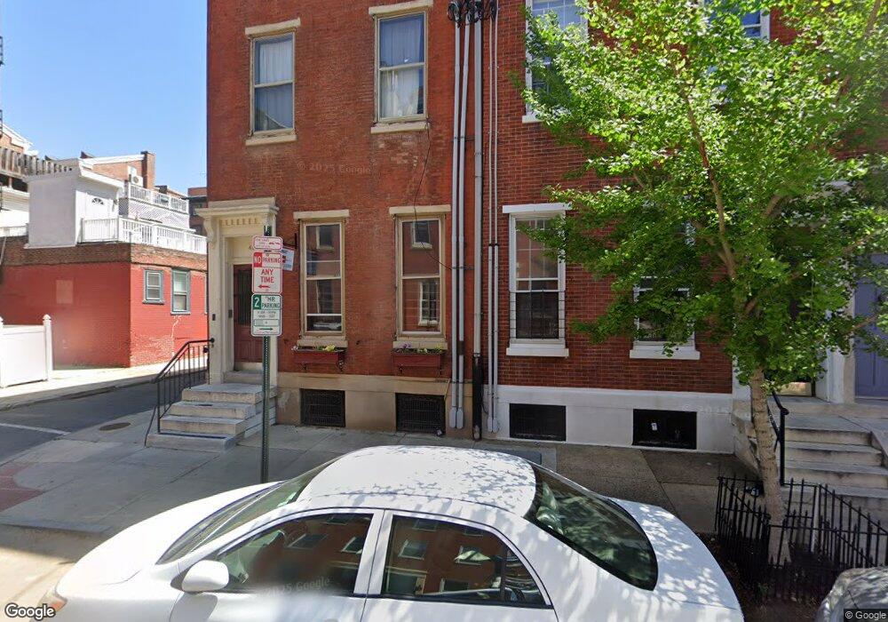
411 S 9th St Unit 2R Philadelphia, PA 19147
Washington Square West NeighborhoodEstimated Value: $210,000 - $317,000
1
Bed
1
Bath
475
Sq Ft
$519/Sq Ft
Est. Value
About This Home
This home is located at 411 S 9th St Unit 2R, Philadelphia, PA 19147 and is currently estimated at $246,301, approximately $518 per square foot. 411 S 9th St Unit 2R is a home located in Philadelphia County with nearby schools including General George A McCall Public School, Benjamin Franklin High School, and Independence Charter School.
Ownership History
Date
Name
Owned For
Owner Type
Purchase Details
Closed on
Apr 27, 2007
Sold by
411 Acquisitions Llc
Bought by
Kosh Nicole M
Current Estimated Value
Home Financials for this Owner
Home Financials are based on the most recent Mortgage that was taken out on this home.
Original Mortgage
$133,125
Interest Rate
6.54%
Mortgage Type
Unknown
Create a Home Valuation Report for This Property
The Home Valuation Report is an in-depth analysis detailing your home's value as well as a comparison with similar homes in the area
Home Values in the Area
Average Home Value in this Area
Purchase History
| Date | Buyer | Sale Price | Title Company |
|---|---|---|---|
| Kosh Nicole M | $177,500 | None Available |
Source: Public Records
Mortgage History
| Date | Status | Borrower | Loan Amount |
|---|---|---|---|
| Previous Owner | Kosh Nicole M | $133,125 |
Source: Public Records
Tax History Compared to Growth
Tax History
| Year | Tax Paid | Tax Assessment Tax Assessment Total Assessment is a certain percentage of the fair market value that is determined by local assessors to be the total taxable value of land and additions on the property. | Land | Improvement |
|---|---|---|---|---|
| 2025 | $2,562 | $192,100 | $30,700 | $161,400 |
| 2024 | $2,562 | $192,100 | $30,700 | $161,400 |
| 2023 | $2,562 | $183,000 | $29,300 | $153,700 |
| 2022 | $2,328 | $183,000 | $29,300 | $153,700 |
| 2021 | $2,328 | $0 | $0 | $0 |
| 2020 | $2,328 | $0 | $0 | $0 |
| 2019 | $2,196 | $0 | $0 | $0 |
| 2018 | $2,091 | $0 | $0 | $0 |
| 2017 | $2,091 | $0 | $0 | $0 |
| 2016 | $2,091 | $0 | $0 | $0 |
| 2015 | $2,002 | $0 | $0 | $0 |
| 2014 | -- | $149,400 | $14,940 | $134,460 |
| 2012 | -- | $12,288 | $4,362 | $7,926 |
Source: Public Records
Map
Nearby Homes
- 838 Lombard St Unit 40
- 812 Lombard St Unit 31
- 814 South St Unit 2
- 905 05 Clinton St Unit 4 F PH
- 718 Addison St Unit B
- 609 S 9th St
- 813 Kater St Unit B
- 908 10 Spruce St Unit 10
- 914 Spruce St Unit 9
- 825 Bainbridge St Unit 101
- 825 Bainbridge St Unit 203
- 910 Spruce St Unit 10
- 408 S Alder St
- 1019 Lombard St
- 639 Pine St
- 737 Bainbridge St
- 1026 Pine St Unit 11
- 265 S 9th St Unit 1F
- 1028 30 Pine St Unit 4
- 1 Alder Ct
- 411 S 9th St Unit 3F
- 411 S 9th St Unit 1R
- 411 S 9th St Unit 1F
- 411 S 9th St Unit 2F
- 411 S 9th St Unit 3R
- 409 S 9th St
- 413 S 9th St
- 413 S 9th St Unit E
- 415 S 9th St
- 415 S 9th St Unit 1
- 826 Addison St Unit 28
- 825 Lombard St Unit 27
- 824 Addison St
- 823 Lombard St
- 822 Addison St
- 821 Lombard St
- 830 Pine St Unit 1A
- 832 Pine St Unit 2A
- 832 Pine St Unit 2A
- 842 Lombard St