411 Sand Ash Trail San Antonio, TX 78256
Cross Mountain NeighborhoodEstimated Value: $541,071 - $592,000
4
Beds
4
Baths
3,184
Sq Ft
$176/Sq Ft
Est. Value
About This Home
This home is located at 411 Sand Ash Trail, San Antonio, TX 78256 and is currently estimated at $560,018, approximately $175 per square foot. 411 Sand Ash Trail is a home located in Bexar County with nearby schools including Leon Springs Elementary School, Garcia Middle School, and Brandeis High School.
Ownership History
Date
Name
Owned For
Owner Type
Purchase Details
Closed on
Jul 15, 2005
Sold by
Highland Homes San Antonio Ltd
Bought by
Holguin James R and Holguin Donna M
Current Estimated Value
Home Financials for this Owner
Home Financials are based on the most recent Mortgage that was taken out on this home.
Original Mortgage
$261,237
Outstanding Balance
$135,663
Interest Rate
5.58%
Mortgage Type
Fannie Mae Freddie Mac
Estimated Equity
$424,355
Create a Home Valuation Report for This Property
The Home Valuation Report is an in-depth analysis detailing your home's value as well as a comparison with similar homes in the area
Home Values in the Area
Average Home Value in this Area
Purchase History
| Date | Buyer | Sale Price | Title Company |
|---|---|---|---|
| Holguin James R | -- | Lalt |
Source: Public Records
Mortgage History
| Date | Status | Borrower | Loan Amount |
|---|---|---|---|
| Open | Holguin James R | $261,237 |
Source: Public Records
Tax History Compared to Growth
Tax History
| Year | Tax Paid | Tax Assessment Tax Assessment Total Assessment is a certain percentage of the fair market value that is determined by local assessors to be the total taxable value of land and additions on the property. | Land | Improvement |
|---|---|---|---|---|
| 2025 | $5,003 | $537,330 | $94,280 | $443,050 |
| 2024 | $5,003 | $505,780 | $94,280 | $453,980 |
| 2023 | $5,003 | $459,800 | $94,280 | $443,060 |
| 2022 | $8,299 | $418,000 | $69,390 | $416,660 |
| 2021 | $8,052 | $390,880 | $66,060 | $324,820 |
| 2020 | $7,963 | $378,380 | $62,320 | $316,060 |
| 2019 | $7,771 | $357,000 | $62,320 | $294,680 |
| 2018 | $8,118 | $372,870 | $62,320 | $310,550 |
| 2017 | $7,714 | $353,200 | $62,320 | $290,880 |
| 2016 | $7,763 | $355,440 | $62,320 | $293,120 |
| 2015 | $7,119 | $338,460 | $62,320 | $276,140 |
| 2014 | $7,119 | $330,860 | $0 | $0 |
Source: Public Records
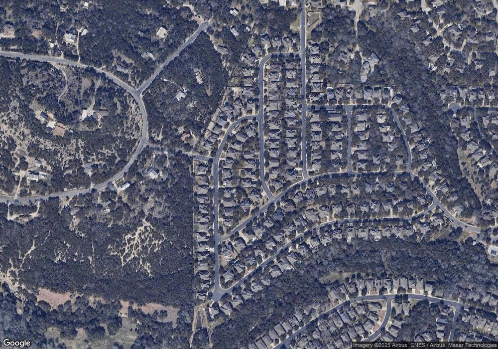
Map
Nearby Homes
- 322 Waxberry Trail
- 115 Stonewall Bend
- 311 Waxberry Trail
- 722 Aster Trail
- 107 Red Alder Trail
- 614 Cypress Trail
- 7807 Hermosa Hill
- 7502 Steeple Dr
- 7602 Steeple Dr
- 22828 Steeple Bluff
- 7403 Steeple Course
- 326 Cypress Trail
- 21719 Chaucer Hill
- 21706 Chaucer Hill
- 21506 Granada Hill
- 7810 Vanity Hill
- 7903 Vanity Hill
- 8206 Winecup Hill
- 8223 Winecup Hill
- 8027 Vanity Hill
- 407 Sand Ash Trail
- 415 Sand Ash Trail
- 326 Waxberry Trail
- 330 Waxberry Trail
- 410 Sand Ash Trail
- 406 Waxberry Trail
- 318 Waxberry Trail
- 414 Sand Ash Trail
- 406 Sand Ash Trail
- 410 Waxberry Trail
- 418 Sand Ash Trail
- 127 Stonewall Bend
- 314 Waxberry Trail
- 422 Sand Ash Trail
- 414 Waxberry Trail
- 310 Waxberry Trail
- 403 Penstemon Trail
- 426 Waxberry Trail
- 407 Penstemon Trail
- 323 Waxberry Trail