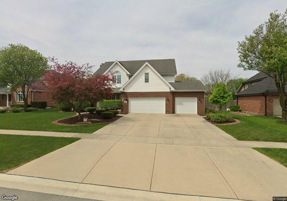
411 Siesta Dr New Lenox, IL 60451
Estimated Value: $537,344 - $628,000
--
Bed
--
Bath
--
Sq Ft
0.31
Acres
About This Home
This home is located at 411 Siesta Dr, New Lenox, IL 60451 and is currently estimated at $568,836. 411 Siesta Dr is a home located in Will County with nearby schools including Bentley Elementary School, Arnold J Tyler School, and Alex M Martino Jr High School.
Ownership History
Date
Name
Owned For
Owner Type
Purchase Details
Closed on
Mar 29, 2022
Sold by
Chopp Jr Joseph A and Chopp Tammie A
Bought by
Chopp Family Land Trust
Current Estimated Value
Purchase Details
Closed on
Nov 27, 2002
Sold by
Lewellen Home Builders Inc
Bought by
Chopp Joseph A and Chopp Tammie A
Home Financials for this Owner
Home Financials are based on the most recent Mortgage that was taken out on this home.
Original Mortgage
$200,000
Interest Rate
6.23%
Purchase Details
Closed on
Mar 28, 2002
Sold by
Rogina David L and Rogina Maureen J
Bought by
Lewellen Home Builders
Home Financials for this Owner
Home Financials are based on the most recent Mortgage that was taken out on this home.
Original Mortgage
$426,000
Interest Rate
4.75%
Mortgage Type
Construction
Create a Home Valuation Report for This Property
The Home Valuation Report is an in-depth analysis detailing your home's value as well as a comparison with similar homes in the area
Home Values in the Area
Average Home Value in this Area
Purchase History
| Date | Buyer | Sale Price | Title Company |
|---|---|---|---|
| Chopp Family Land Trust | -- | Gary S Mueller & Associates Lt | |
| Chopp Joseph A | $278,000 | Chicago Title Insurance Co | |
| Lewellen Home Builders | $83,000 | -- |
Source: Public Records
Mortgage History
| Date | Status | Borrower | Loan Amount |
|---|---|---|---|
| Previous Owner | Chopp Joseph A | $200,000 | |
| Previous Owner | Lewellen Home Builders | $426,000 |
Source: Public Records
Tax History Compared to Growth
Tax History
| Year | Tax Paid | Tax Assessment Tax Assessment Total Assessment is a certain percentage of the fair market value that is determined by local assessors to be the total taxable value of land and additions on the property. | Land | Improvement |
|---|---|---|---|---|
| 2024 | $11,855 | $160,816 | $34,785 | $126,031 |
| 2023 | $11,855 | $146,596 | $31,709 | $114,887 |
| 2022 | $11,275 | $135,049 | $29,211 | $105,838 |
| 2021 | $10,713 | $127,009 | $27,472 | $99,537 |
| 2020 | $10,415 | $122,478 | $26,492 | $95,986 |
| 2019 | $9,975 | $118,681 | $25,671 | $93,010 |
| 2018 | $9,751 | $114,590 | $24,786 | $89,804 |
| 2017 | $9,272 | $111,295 | $24,073 | $87,222 |
| 2016 | $9,006 | $108,317 | $23,429 | $84,888 |
| 2015 | $8,680 | $104,908 | $22,692 | $82,216 |
| 2014 | $8,680 | $103,613 | $22,412 | $81,201 |
| 2013 | $8,680 | $105,010 | $22,714 | $82,296 |
Source: Public Records
Map
Nearby Homes
- 574 Prairie Crossing Dr
- 315 S Pine St
- 416 Manor Ct Unit B
- 00 NE Corner Cherry Hill Road and Moss Lane Rd
- 202 Hickory St
- 709 Young Dr
- 718 S Prairie Rd
- 331 Old Hickory Rd
- 329 Hancock Dr
- Vacant W Maple St
- 328 E Lincoln Hwy
- 125 Kimber Dr
- 235 Roberts Rd
- 203 Fir St
- 338 Willow St
- 1000 S Cedar Rd
- 1500 Ramp
- 1007 Nelson Rd
- 203 Tonell Ave
- 1701 Grand Prairie Dr