Estimated Value: $73,000 - $121,000
--
Bed
1
Bath
1,936
Sq Ft
$52/Sq Ft
Est. Value
About This Home
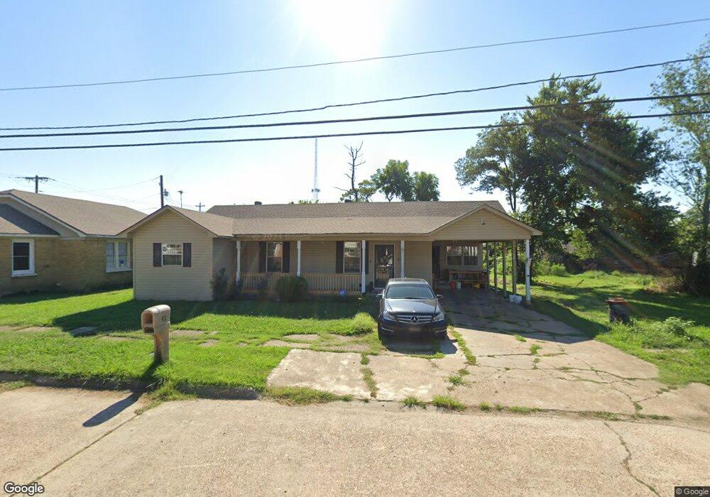
This home is located at 411 Terry St S, Wynne, AR 72396 and is currently estimated at $100,799, approximately $52 per square foot. 411 Terry St S is a home located in Cross County with nearby schools including Wynne Primary School, Wynne Intermediate School, and Wynne Junior High School.
Ownership History
Date
Name
Owned For
Owner Type
Purchase Details
Closed on
Mar 4, 2005
Sold by
Thomas Connie L and Foster Charlie
Bought by
Thompson Larry and Thompson Virgie
Current Estimated Value
Home Financials for this Owner
Home Financials are based on the most recent Mortgage that was taken out on this home.
Original Mortgage
$51,500
Interest Rate
8.95%
Mortgage Type
Adjustable Rate Mortgage/ARM
Purchase Details
Closed on
Sep 23, 1999
Bought by
Thomas Elbert and Thomas Donna
Purchase Details
Closed on
Jun 6, 1997
Bought by
Powers Connie
Purchase Details
Closed on
Apr 14, 1997
Bought by
Thomas Elbert and Thomas Donna
Purchase Details
Closed on
Feb 25, 1997
Bought by
Powers Connie
Create a Home Valuation Report for This Property
The Home Valuation Report is an in-depth analysis detailing your home's value as well as a comparison with similar homes in the area
Home Values in the Area
Average Home Value in this Area
Purchase History
| Date | Buyer | Sale Price | Title Company |
|---|---|---|---|
| Thompson Larry | -- | Nations Title Of Tennessee I | |
| Thomas Elbert | -- | -- | |
| Powers Connie | -- | -- | |
| Thomas Elbert | -- | -- | |
| Powers Connie | $24,000 | -- |
Source: Public Records
Mortgage History
| Date | Status | Borrower | Loan Amount |
|---|---|---|---|
| Previous Owner | Thompson Larry | $51,500 |
Source: Public Records
Tax History Compared to Growth
Tax History
| Year | Tax Paid | Tax Assessment Tax Assessment Total Assessment is a certain percentage of the fair market value that is determined by local assessors to be the total taxable value of land and additions on the property. | Land | Improvement |
|---|---|---|---|---|
| 2024 | -- | $11,280 | $2,100 | $9,180 |
| 2023 | $0 | $11,280 | $2,100 | $9,180 |
| 2022 | $24 | $11,280 | $2,100 | $9,180 |
| 2021 | $24 | $11,280 | $2,100 | $9,180 |
| 2020 | $24 | $11,280 | $2,100 | $9,180 |
| 2019 | $8 | $10,680 | $1,370 | $9,310 |
| 2018 | $33 | $10,680 | $1,370 | $9,310 |
| 2017 | $33 | $10,680 | $1,370 | $9,310 |
| 2016 | $33 | $10,680 | $1,370 | $9,310 |
| 2015 | $33 | $10,680 | $1,370 | $9,310 |
| 2014 | $16 | $6,865 | $1,680 | $5,185 |
Source: Public Records
Map
Nearby Homes
- 704 Front St S
- 908 Block St S
- 314 Mildred Dr E
- 903 Levesque Ave E
- 712 Mockingbird Ln
- 704 Mockingbird Ln
- 514 Poplar Ave E
- 714 Church St N
- 607 Bruce St N
- 411 N Bruce St
- 513 Forrest Ave E
- 701 Wren St
- 0 Cr 760
- 1002 Brittney Cir
- 0 Brittney Cir Unit 43670
- 0 Brittney Cir Unit 25030957
- 919 Hamilton Ave E
- 733 Martin Dr E
- 624 C St
- 106 Eldridge Ct
- 413 Terry St N
- 413 Terry St S
- 211 Pecan Ave E
- 405 Terry St S
- 505 Cleveland St S
- 0 E Pecan Ave
- .05 acres E Pecan Ave
- 212 Pecan Ave E
- 315 Terry St S
- 404 Terry St S
- 210 Pecan Ave E
- 309 King Ave E
- 316 King Ave E
- 150 Pecan Ave E
- 311 King Ave E
- 314 Terry St S
- 215 Canal Ave E
- 217 Canal Ave E
- 213 Canal Ave E
- 319 King Ave E