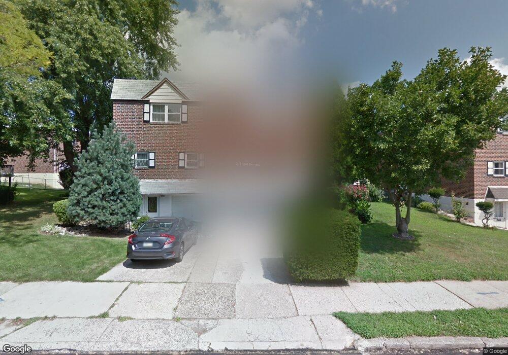
411 Tomlinson Rd Philadelphia, PA 19116
Somerton NeighborhoodEstimated Value: $381,264 - $453,000
4
Beds
1
Bath
1,732
Sq Ft
$244/Sq Ft
Est. Value
About This Home
This home is located at 411 Tomlinson Rd, Philadelphia, PA 19116 and is currently estimated at $422,316, approximately $243 per square foot. 411 Tomlinson Rd is a home with nearby schools including Loesche William H School, CCA Baldi Middle School, and George Washington High School.
Ownership History
Date
Name
Owned For
Owner Type
Purchase Details
Closed on
Feb 17, 2009
Sold by
Martirosyan Grant P and Kasparov Georgy
Bought by
Martirosyan Grant P and Martirosyan Emil
Current Estimated Value
Home Financials for this Owner
Home Financials are based on the most recent Mortgage that was taken out on this home.
Original Mortgage
$156,250
Interest Rate
5.02%
Mortgage Type
New Conventional
Create a Home Valuation Report for This Property
The Home Valuation Report is an in-depth analysis detailing your home's value as well as a comparison with similar homes in the area
Home Values in the Area
Average Home Value in this Area
Purchase History
| Date | Buyer | Sale Price | Title Company |
|---|---|---|---|
| Martirosyan Grant P | -- | None Available |
Source: Public Records
Mortgage History
| Date | Status | Borrower | Loan Amount |
|---|---|---|---|
| Closed | Martirosyan Grant P | $156,250 |
Source: Public Records
Tax History Compared to Growth
Tax History
| Year | Tax Paid | Tax Assessment Tax Assessment Total Assessment is a certain percentage of the fair market value that is determined by local assessors to be the total taxable value of land and additions on the property. | Land | Improvement |
|---|---|---|---|---|
| 2026 | $4,050 | $353,700 | $70,740 | $282,960 |
| 2025 | $4,050 | $353,700 | $70,740 | $282,960 |
| 2024 | $4,050 | $353,700 | $70,740 | $282,960 |
| 2023 | $4,050 | $289,300 | $57,860 | $231,440 |
| 2022 | $3,420 | $244,300 | $57,860 | $186,440 |
| 2021 | $3,354 | $0 | $0 | $0 |
| 2020 | $3,354 | $0 | $0 | $0 |
| 2019 | $3,158 | $0 | $0 | $0 |
| 2018 | $3,049 | $0 | $0 | $0 |
| 2017 | $3,049 | $0 | $0 | $0 |
| 2016 | $2,629 | $0 | $0 | $0 |
| 2015 | $2,919 | $0 | $0 | $0 |
| 2014 | -- | $217,800 | $86,600 | $131,200 |
| 2012 | -- | $28,480 | $4,527 | $23,953 |
Source: Public Records
Map
Nearby Homes
- 11012 Audubon Ave
- 375 Avon St
- 412 Avon Place
- 10665 Halstead St
- 441 Tomlinson Rd Unit F6
- 11022 Ferndale St
- 370 Selma St
- 133 Gardner St
- 10752 Jeanes St
- 118 Rennard Place
- 115 Gardner St
- 10922 Lockart Rd
- 509 Larkspur St
- 166 Rennard St
- 11715 Jeanes St
- 11990 Rennard St
- 11722 Audubon Ave
- 226 Lockart Terrace
- 11169 Hendrix St
- 770 Selmer Rd
- 409 Tomlinson Rd
- 413 Tomlinson Rd
- 415 Tomlinson Rd
- 387 Helene Place
- 389 Helene Place
- 385 Helene Place
- 11006 Audubon Ave
- 11008 Audubon Ave
- 410 Tomlinson Rd
- 412 Tomlinson Rd
- 383 Helene Place
- 408 Tomlinson Rd
- 11010 Audubon Ave
- 414 Tomlinson Rd
- 386 Tomlinson Place
- 406 Tomlinson Rd
- 416 Tomlinson Rd
- 381 Helene Place
- 384 Tomlinson Place
- 11014 Audubon Ave