Estimated Value: $124,000 - $209,000
3
Beds
1
Bath
959
Sq Ft
$162/Sq Ft
Est. Value
About This Home
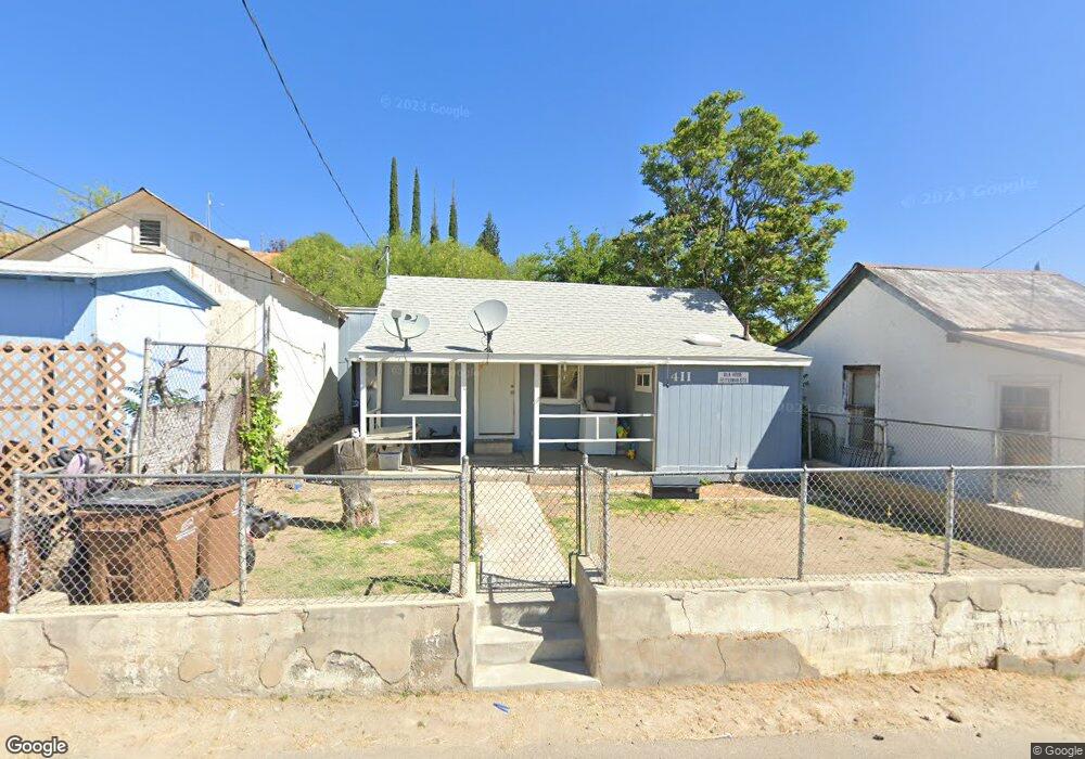
This home is located at 411 W Euclid Ave, Globe, AZ 85501 and is currently estimated at $155,605, approximately $162 per square foot. 411 W Euclid Ave is a home located in Gila County with nearby schools including Copper Rim Elementary School, High Desert Middle School, and Globe High School.
Ownership History
Date
Name
Owned For
Owner Type
Purchase Details
Closed on
Dec 22, 2015
Sold by
Signal Peak Community Foundation
Bought by
Gila House Inc
Current Estimated Value
Purchase Details
Closed on
Jun 25, 2013
Sold by
Oakes Amy Stoklas and Oakes David
Bought by
Signal Peak Community Foundation
Purchase Details
Closed on
Jun 8, 2005
Sold by
Turley Yun Sun
Bought by
Oakes Amy Stoklas and Oakes David
Home Financials for this Owner
Home Financials are based on the most recent Mortgage that was taken out on this home.
Original Mortgage
$27,200
Interest Rate
5.72%
Create a Home Valuation Report for This Property
The Home Valuation Report is an in-depth analysis detailing your home's value as well as a comparison with similar homes in the area
Home Values in the Area
Average Home Value in this Area
Purchase History
| Date | Buyer | Sale Price | Title Company |
|---|---|---|---|
| Gila House Inc | -- | None Available | |
| Signal Peak Community Foundation | $7,500 | Pioneer Title | |
| Oakes Amy Stoklas | $34,000 | First American Title |
Source: Public Records
Mortgage History
| Date | Status | Borrower | Loan Amount |
|---|---|---|---|
| Previous Owner | Oakes Amy Stoklas | $27,200 |
Source: Public Records
Tax History Compared to Growth
Tax History
| Year | Tax Paid | Tax Assessment Tax Assessment Total Assessment is a certain percentage of the fair market value that is determined by local assessors to be the total taxable value of land and additions on the property. | Land | Improvement |
|---|---|---|---|---|
| 2025 | $527 | -- | -- | -- |
| 2024 | $527 | $6,631 | $536 | $6,095 |
| 2023 | $527 | $4,874 | $414 | $4,460 |
| 2022 | $518 | $4,653 | $414 | $4,239 |
| 2021 | $556 | $4,653 | $414 | $4,239 |
| 2020 | $528 | $0 | $0 | $0 |
| 2019 | $521 | $0 | $0 | $0 |
| 2018 | $507 | $0 | $0 | $0 |
| 2017 | $493 | $0 | $0 | $0 |
| 2016 | $440 | $0 | $0 | $0 |
| 2015 | $404 | $0 | $0 | $0 |
Source: Public Records
Map
Nearby Homes
- 368 W Euclid Ave Unit 25
- 300 N Broad St
- 254 N Broad St
- 610 N Hill St Unit 19B
- 601 N Sutherland St
- 456 W Tremont St
- 350 N Sutherland St
- 137 N Hill St
- 339 N Devereaux St
- 642 W Eagles Bluff
- 501 E Mesquite St
- 425 E North St
- 1021 High
- 404 S Broad St
- 0 20710007g - 20710007f -- Unit 3 6895808
- 877 E Sycamore St
- 372 N Fifth St
- 1309 E Mesquite St
- 707 S East St
- 526 E Carico St
- 419 W Euclid Ave
- 734 N Lawrence St
- 410 W Euclid St
- 390 W Euclid Ave
- 381 W Euclid Ave
- 370 W Euclid Ave
- 428 W Euclid Ave
- 435 W Euclid Ave
- 366 W Euclid Ave
- 625 N Gleason St
- 720 N Maurel St
- 361 W Euclid Ave
- 430 N Euclid Hill
- 416 W Hackney Hill Rd
- 437 W Euclid Ave
- 360 W Euclid Ave
- 373 W Hackney Ave
- 436 W Hackney Hill Rd
- 409 W Hackney Hill Rd
- 673 N Euclid Hill